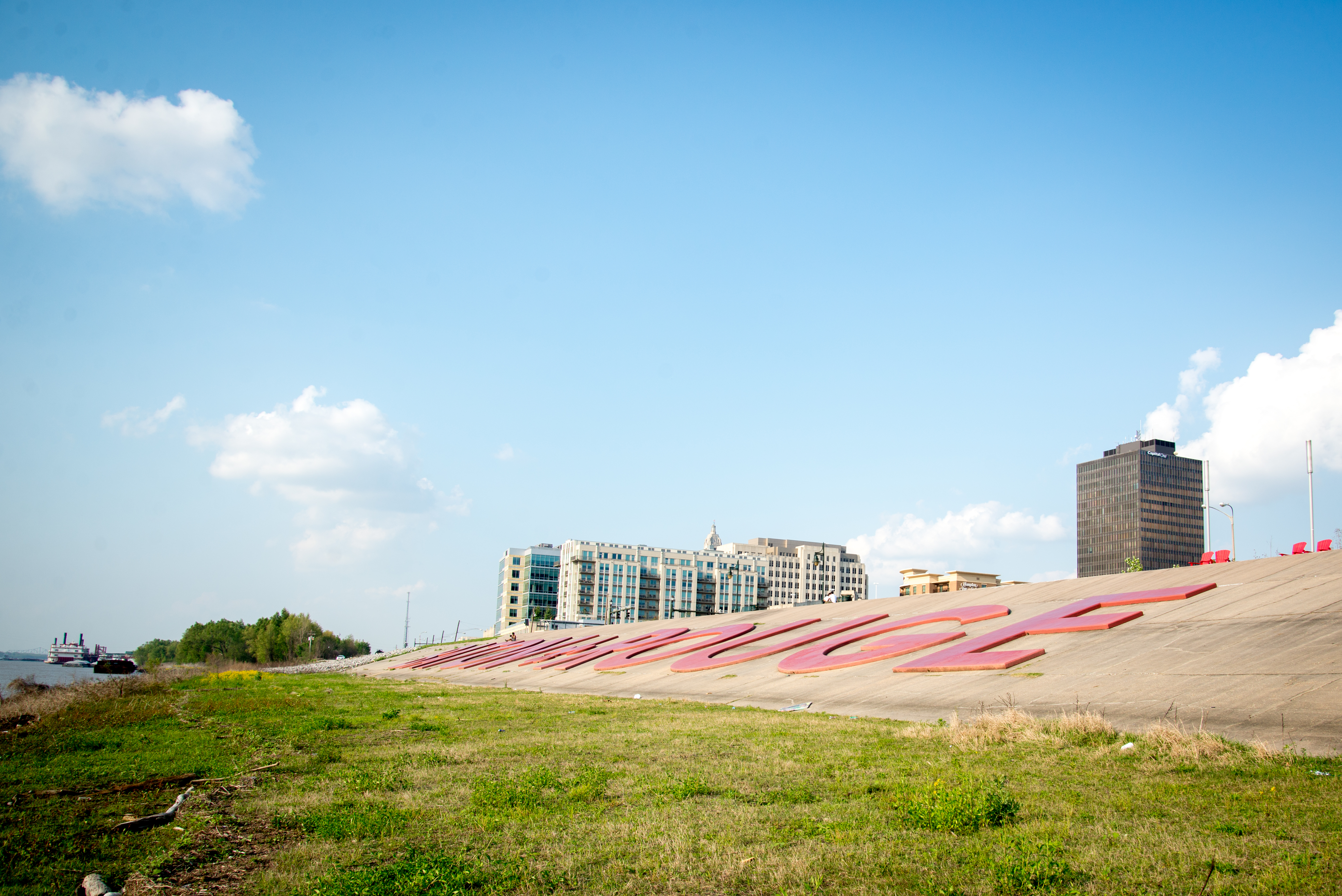
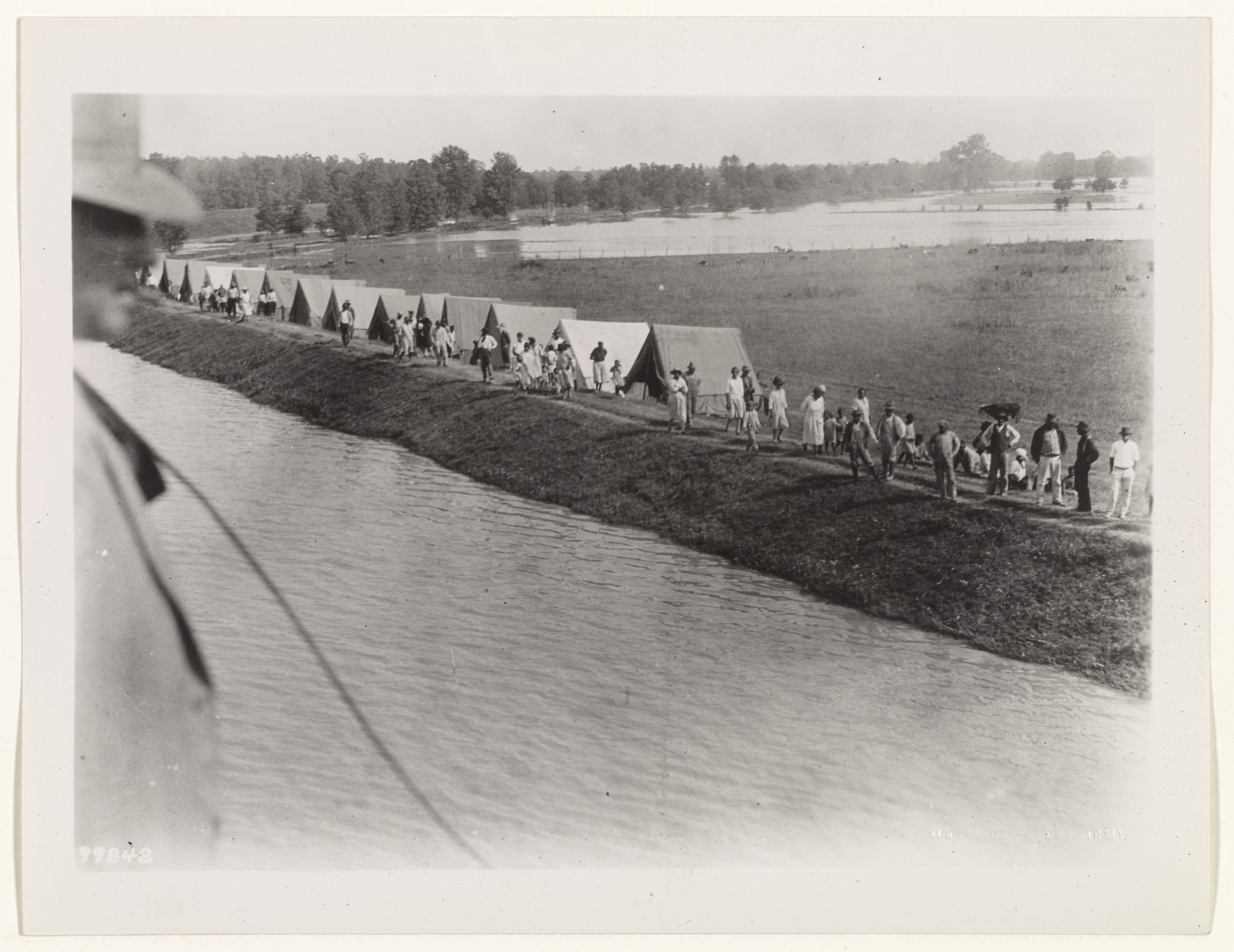
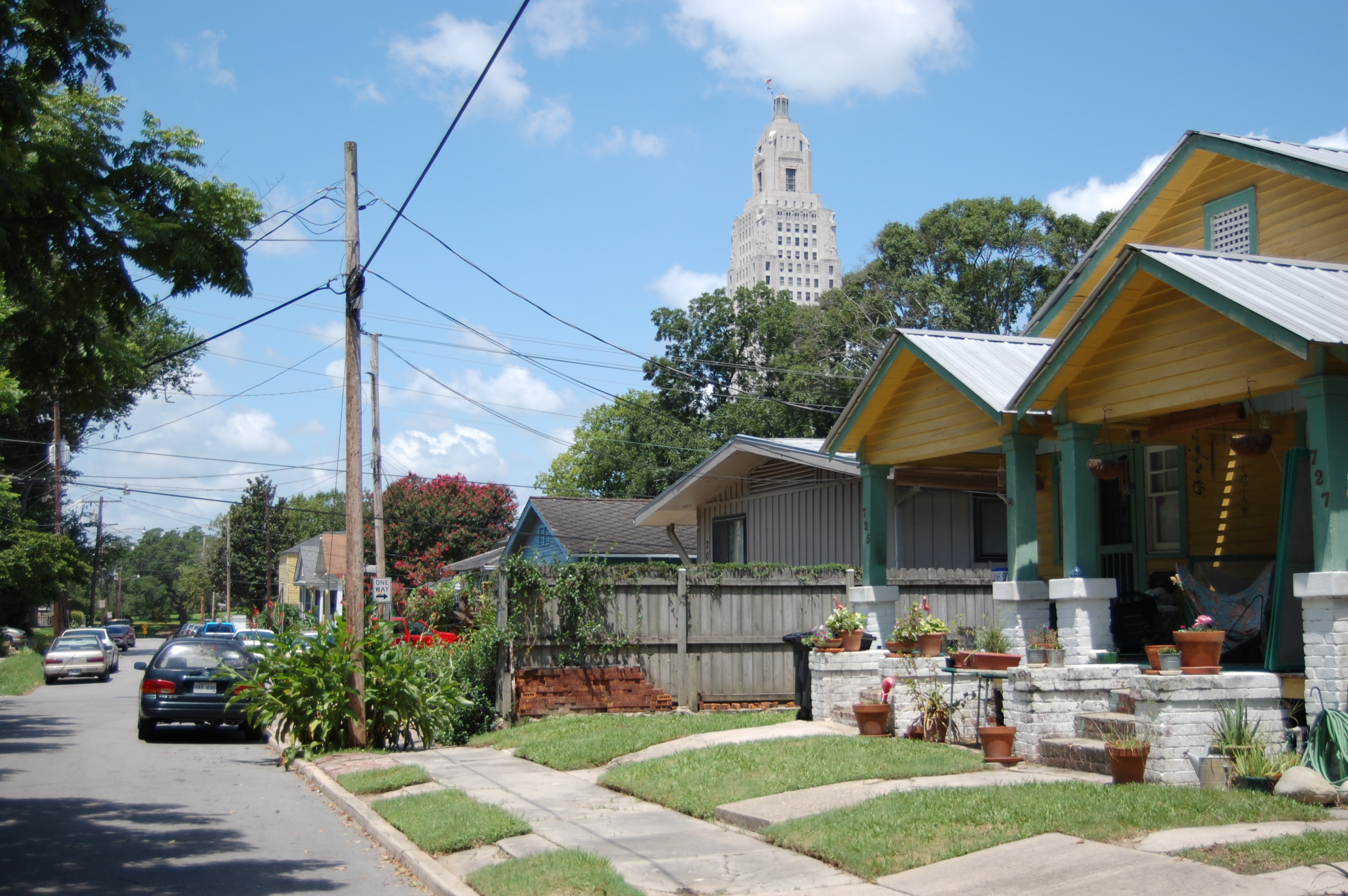
The Mississippi runs higher than the streets. Most residents never see it—the levee blocks the view—but the river sits above downtown Baton Rouge, held back by a wall of earth the Army Corps of Engineers has built and reinforced continuously since the Great Mississippi Flood of 1927. That flood killed over 500 people and displaced 700,000. It changed federal flood control policy and helped elect Huey Long governor. What followed was engineering on a scale the region had never seen: a levee system that remade the relationship between the city and the river. At points the crown rises over 50 feet above sea level, higher than most buildings downtown. The wall separates Baton Rouge from the Mississippi in a way earlier generations would not have recognized—the river as threat contained rather than artery relied upon. Baton Rouge owes its founding to the Istrouma Bluff, the first natural rise upriver from the Mississippi Delta. Early settlement concentrated there, safe from seasonal flooding. The levee system extended protection southward to the riverfront and low-lying agricultural areas. What began as earthwork has become infrastructure that defines the city's geography. Walking or biking the levee crown is one of the only ways to see both the river and the city skyline simultaneously. The stretch near the USS Kidd and River Road offers the best views. Accessible from multiple points downtown, the levee reveals what the streets conceal: the river surface running higher than the pavement, a fact of hydrology most people live beside without ever witnessing.
- ·The current levee system has been built and reinforced by the Army Corps of Engineers continuously since the Great Mississippi Flood of 1927.
- ·At points the levee crown rises over 50 feet above sea level — higher than most buildings in downtown Baton Rouge.
- ·The river surface regularly runs higher than the city streets on the other side of the levee wall, a fact most residents never see.
- ·Walking or biking the levee crown is one of the only ways to see both the river and the city skyline simultaneously.
- ·The 1927 flood killed over 500 people and displaced 700,000 — it permanently changed federal flood control policy and helped elect Huey Long governor.
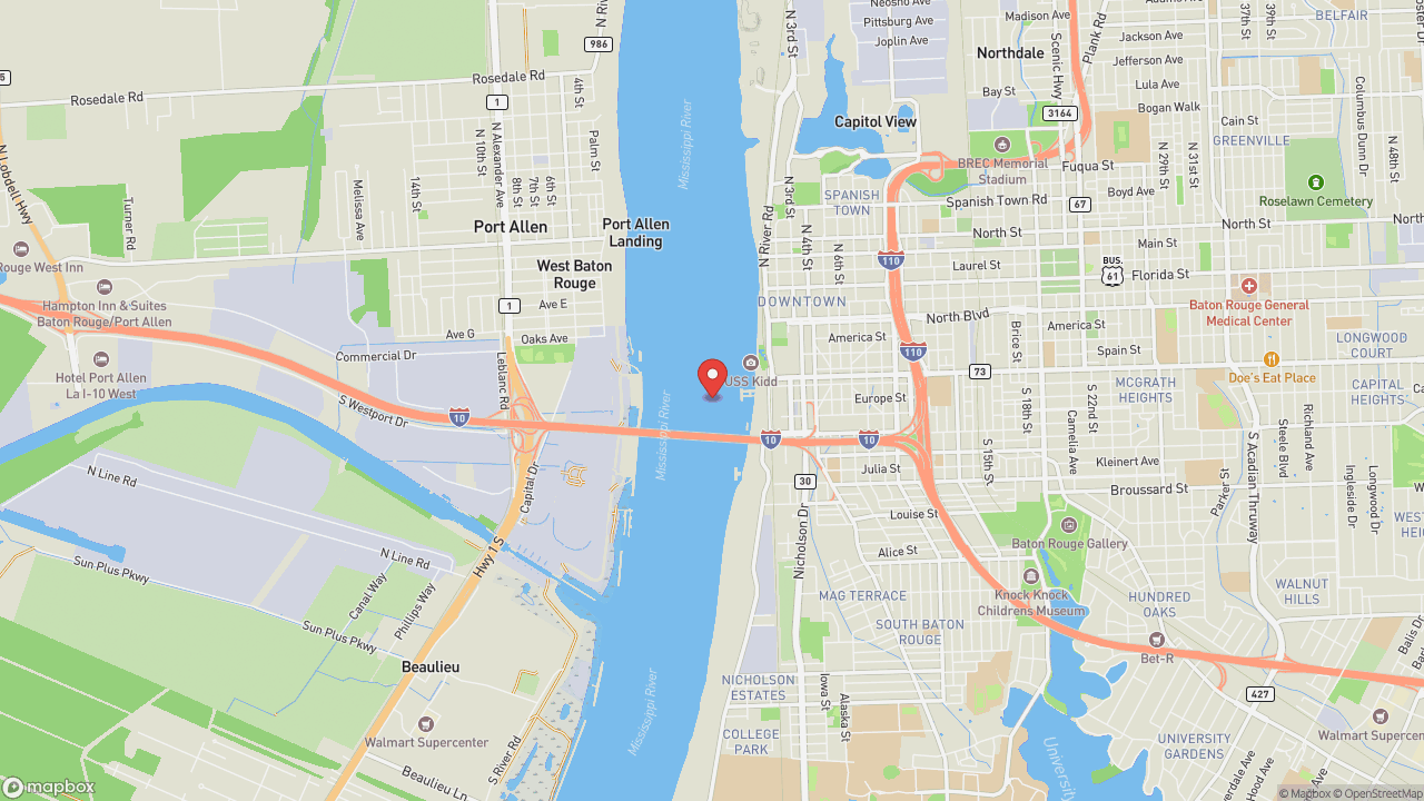
- ·Accessible from multiple points downtown. The stretch near the USS Kidd and River Road offers the best views.
Memories
Nearby


Editorial content compiled with AI assistance. Place details verified against public records.