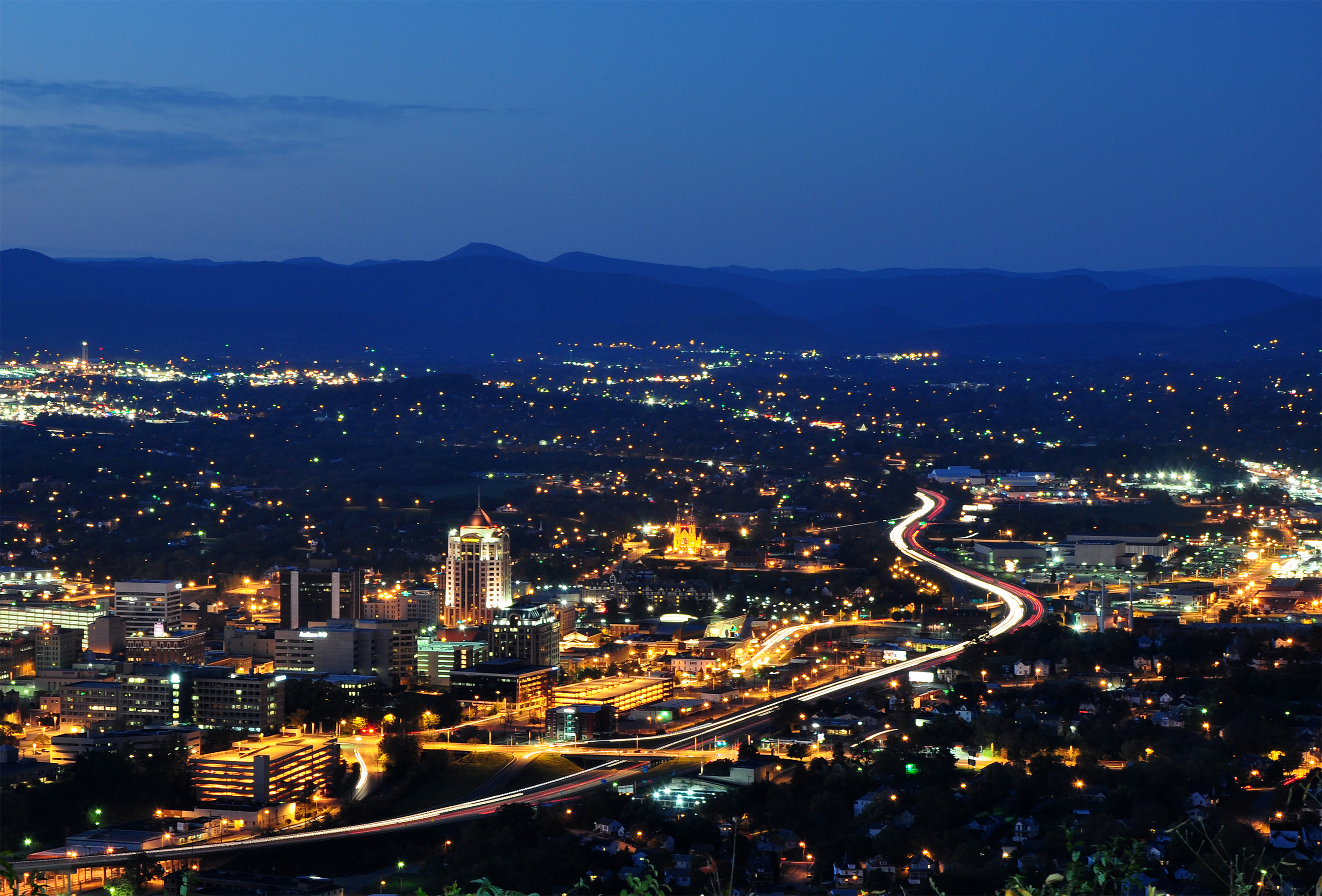
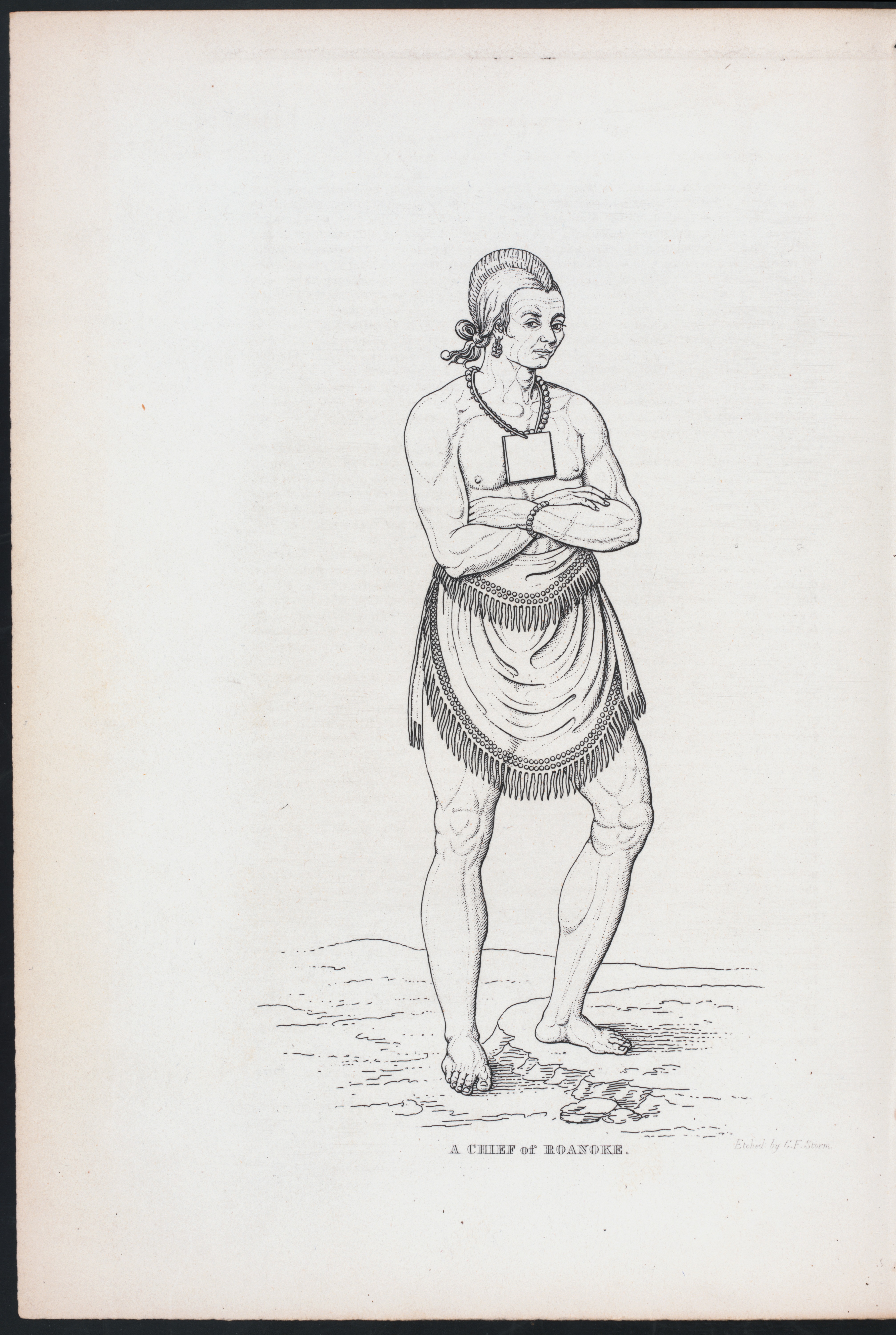
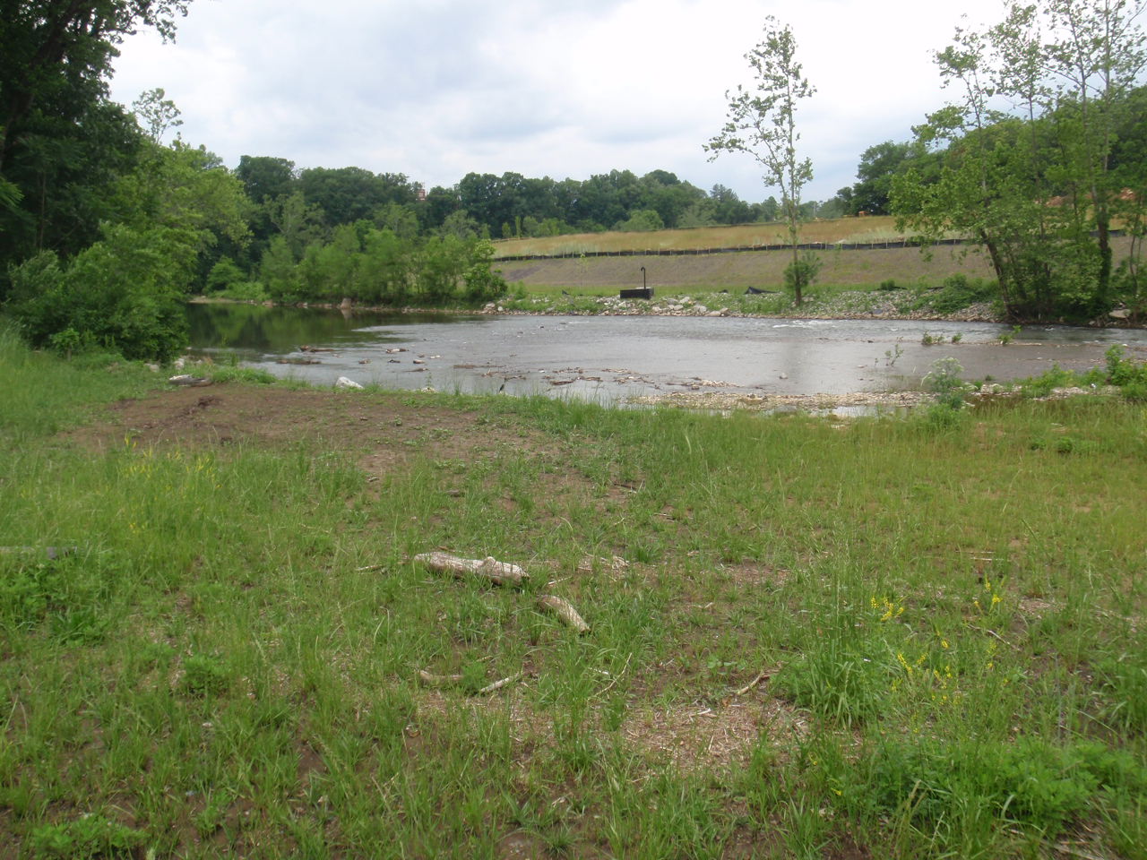
The Roanoke River drops 45 miles from Salem to Smith Mountain Lake, carving a line through the valley that was home to the Tutelo before Scotch-Irish and German settlers arrived in the 17th and 18th centuries. The river runs Class I to II — manageable for beginners, with rock gardens that demand attention. Bald eagles and great blue herons work the banks. Seventeen public access points break the route into sections. The downtown stretch passes under the Market Street Bridge with the city skyline visible from the water. In 1882, the Norfolk and Western Railway chose the site that would become Roanoke for its headquarters and shops; during the 20th century, the city became Southwest Virginia's economic and cultural hub. The river moved through the valley before any of that, and it's still moving. Kayak and canoe rentals are available in Salem. Best paddled in sections, not all at once. The water keeps going whether you're on it or not.
- ·45-mile water trail from Salem to Smith Mountain Lake.
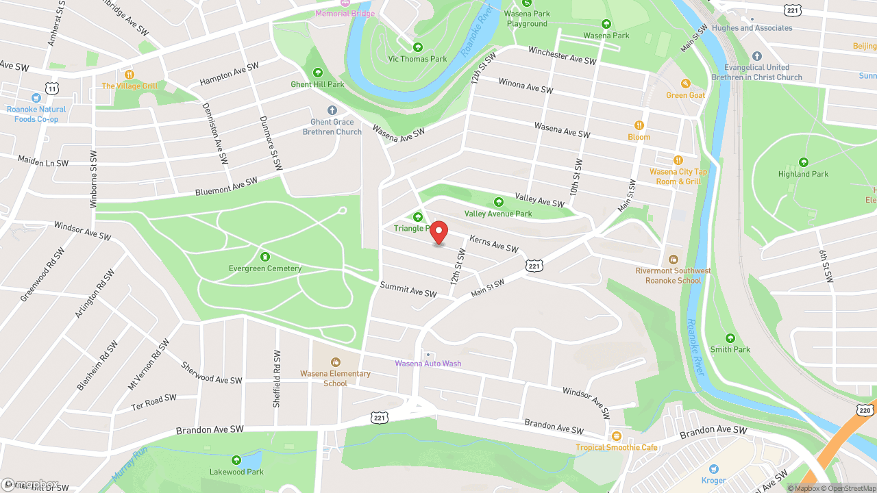
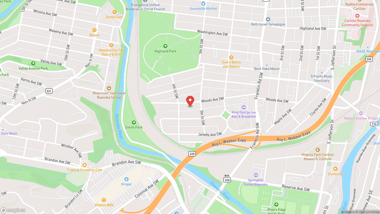
- ·17 public access points along the route.
- ·Bald eagles and great blue herons patrol the banks.
- ·The downtown section passes under Market Street Bridge with skyline views.
- ·Class I–II water — manageable for beginners with a few rock gardens.
- ·Kayak and canoe rentals available in Salem. Best paddled in sections.
Memories
Nearby
Editorial content compiled with AI assistance. Place details verified against public records.