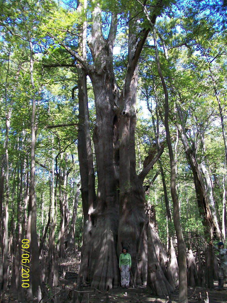
Ice Age winds dropped loess — windblown silt — across the bluffs north of Baton Rouge, and when rain cuts through it you get something Louisiana almost never offers: 200 feet of elevation change in less than a mile. Tunica Hills Wildlife Management Area protects 6,500 acres of that terrain, and the ravines that result exist nowhere else in the state. The loess erodes into steep-walled hollows cool and damp enough to shelter copper iris and Florida anise, plants more at home in Appalachian coves than Gulf Coast floodplain. You are hiking through a biological outlier, a fragment of upland forest marooned by climate and geology in a state famous for being flat. The clay gets slick when wet. Wear boots with tread that bites, and pick up a self-clearing WMA permit before you go — Louisiana requires it for all wildlife management areas. The effort buys you the steepest trails in Louisiana and a chance to see what grows when the ground finally goes up instead of out.
- ·Tunica Hills Wildlife Management Area covers roughly 6,500 acres of loess-bluff terrain.
- ·The loess soils were deposited by Ice Age winds and erode into ravines found nowhere else in Louisiana.
- ·The WMA shelters rare plants like copper iris and Florida anise more typical of Appalachian forests.
- ·Elevation changes of 200+ feet make this some of the steepest hiking in the state.
- ·Visitor tip: wear sturdy boots — the clay ravines get slick, and a WMA self-clearing permit is required.
Memories
Nearby


Editorial content compiled with AI assistance. Place details verified against public records.