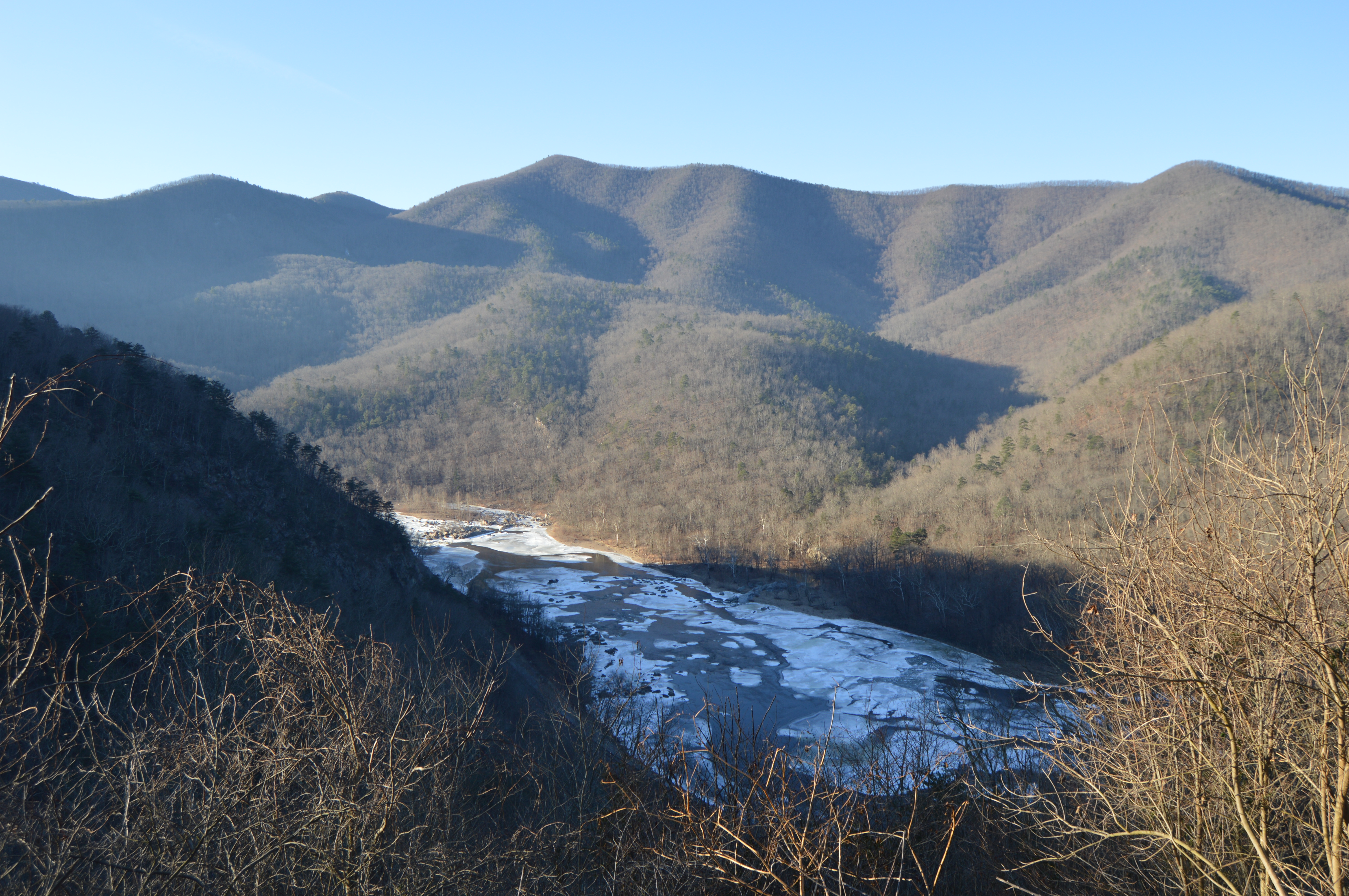
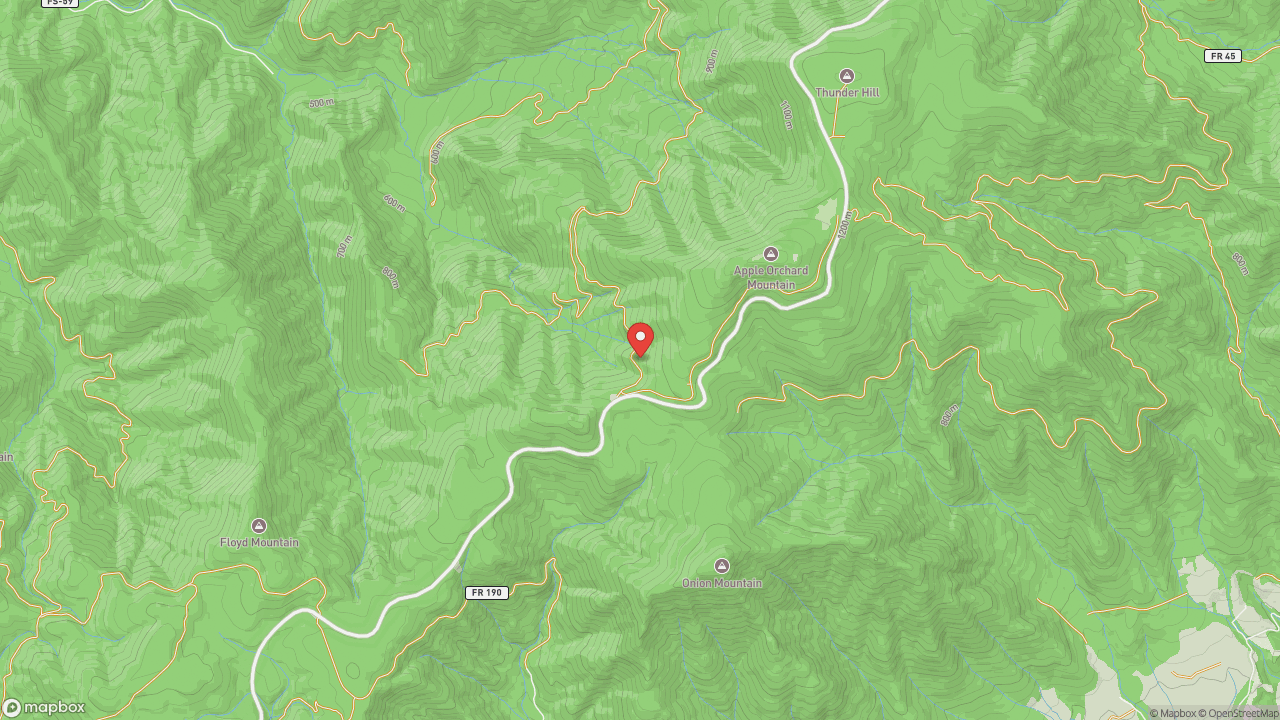
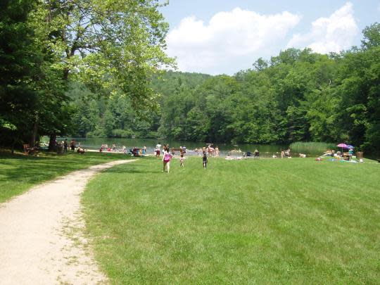
The James is Virginia's longest river — 348 miles from the Alleghenies to the Chesapeake Bay — and the Upper James River Water Trail covers sixty-four miles of it between Iron Gate and Joshua Falls in Botetourt and Rockbridge counties. It carries the designation Virginia Scenic River, the highest level of state river protection. Bald eagles nest along the corridor. Bring binoculars. The most popular access points are Buchanan, Springwood, Alpine, and Eagle Rock. Local outfitters in Buchanan and at Explore Park rent kayaks and canoes. Roanoke grew up where railroads needed a hub in Southwest Virginia — the Norfolk and Western Railway chose Big Lick in 1882 and turned a small town into a city almost overnight. When the railroad eventually left, outdoor amenities became part of how the city rebuilt. The water trail is one piece of that: a stretch of protected river long enough to make a weekend trip, close enough to matter.
- ·64 miles of paddling trail from Iron Gate to Joshua Falls in Botetourt and Rockbridge counties.
- ·Designated a Virginia Scenic River — the highest level of state river protection.
- ·The James is Virginia's longest river at 348 miles, flowing from the Alleghenies to the Chesapeake Bay.
- ·Multiple access points: Buchanan, Springwood, Alpine, and Eagle Rock are the most popular.
- ·Bald eagle nesting sites along the river corridor — bring binoculars.
- ·Local outfitters in Buchanan and at Explore Park offer kayak and canoe rentals.
Memories
Nearby
Editorial content compiled with AI assistance. Place details verified against public records.