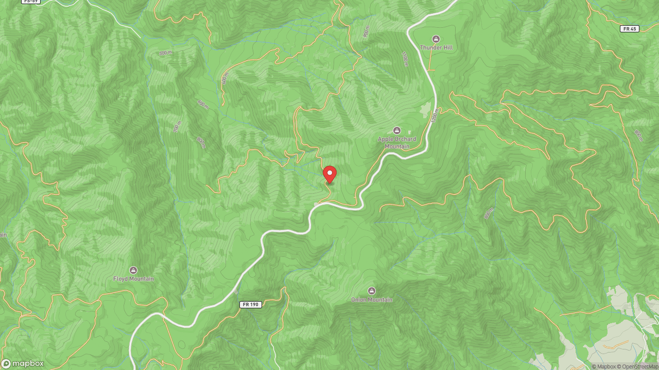
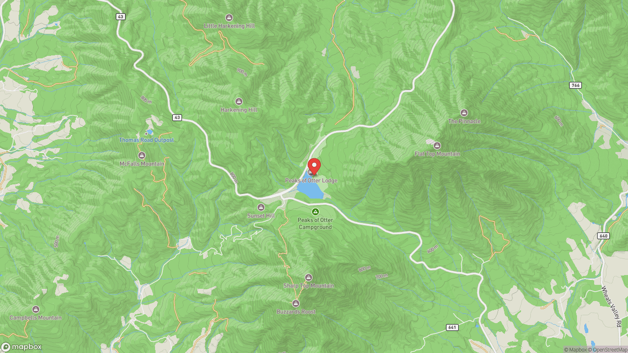
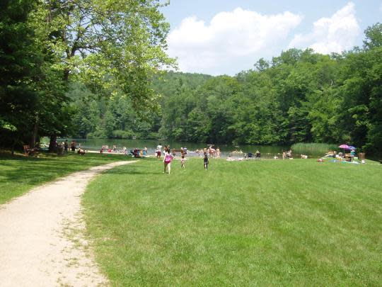
The Blue Ridge Parkway threads through Virginia's mountains at altitudes that feel more like New Hampshire than the South — and at Milepost 78, near the highest point the Parkway reaches in the state, a trail drops a thousand vertical feet toward a waterfall that cascades two hundred feet down a rock face. Apple Orchard Falls is one of the tallest in the region, named for the mountain that rises above it: Apple Orchard Mountain, at 4,225 feet the Parkway's Virginia high point. Roanoke lies fifty miles north of the North Carolina line, carved into Southwest Virginia by the railroad. In 1882, the Norfolk and Western Railway turned a salt-lick hamlet called Big Lick into a boomtown headquarters, and the population exploded — growing twenty-two times over in a single decade. The city's economy pivoted when N&W left a century later, but the mountains stayed. The Blue Ridge bracket the valley, and in the twenty-first century, the development and marketing of outdoor amenities have helped reverse population decline. Twenty-six miles of greenways wind through the Roanoke Valley; the Parkway and the peaks beyond supply the rest. The trail to Apple Orchard Falls begins near Milepost 78. The descent is steep. The return climb is steeper. Spring runoff and storms after heavy rain bring the best flow. Go then, or accept that the falls may be lean. Either way, the walk back up will earn the view.
- ·200-foot cascading waterfall — one of the tallest in the region.
- ·Accessed from the Blue Ridge Parkway near Milepost 78.
- ·Trail drops 1,000+ feet from the overlook — steep return climb.
- ·Best water flow in spring and after heavy rain.
- ·Near Apple Orchard Mountain, highest point on the Parkway in Virginia (4,225 ft).
Memories
Nearby
Editorial content compiled with AI assistance. Place details verified against public records.