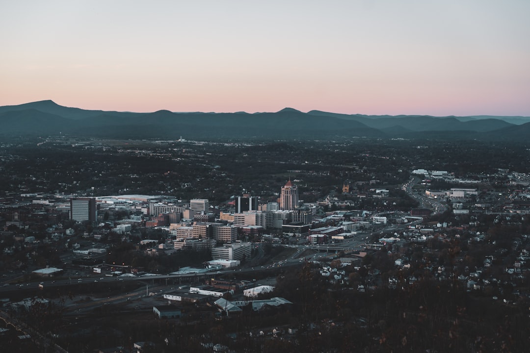
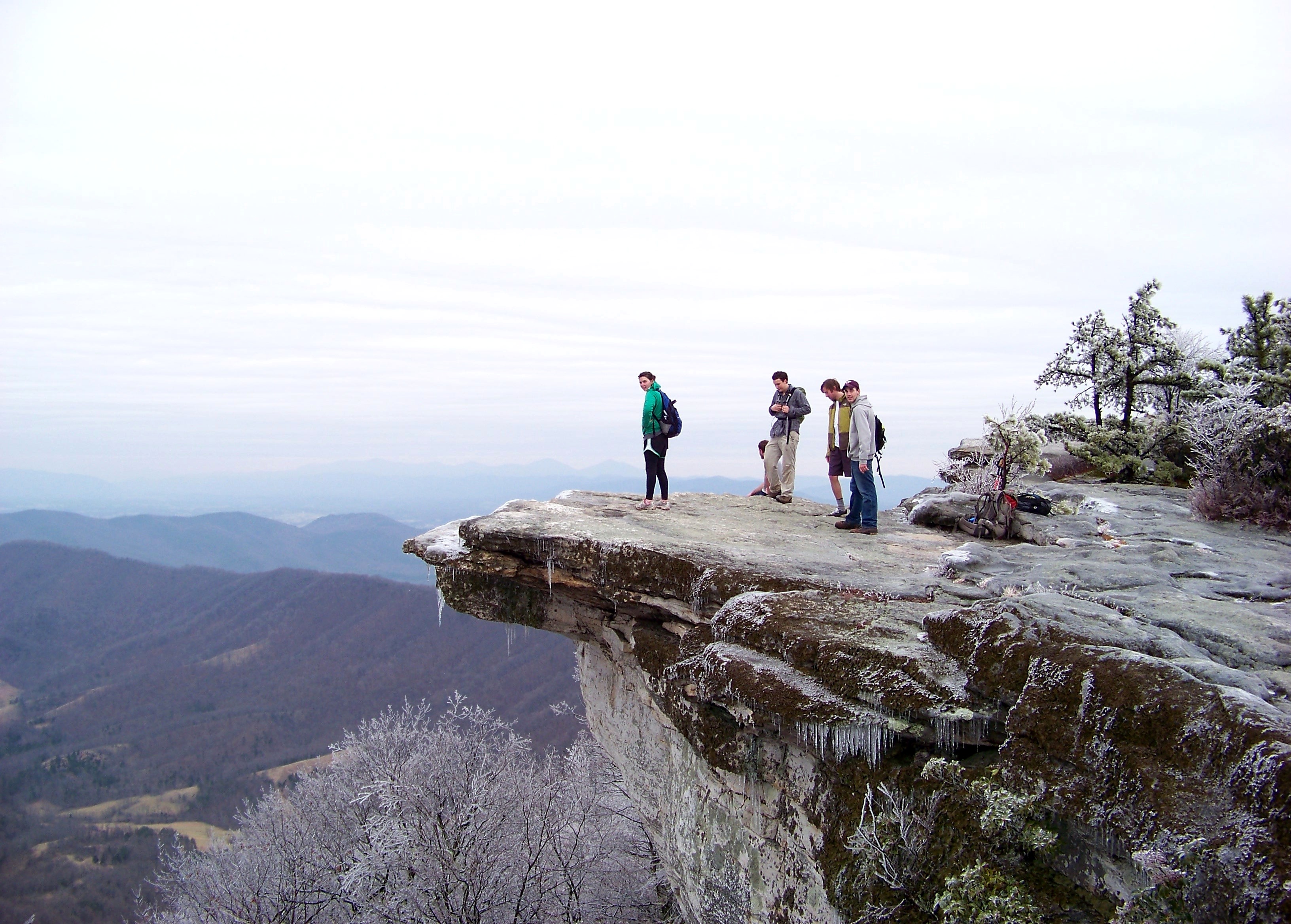
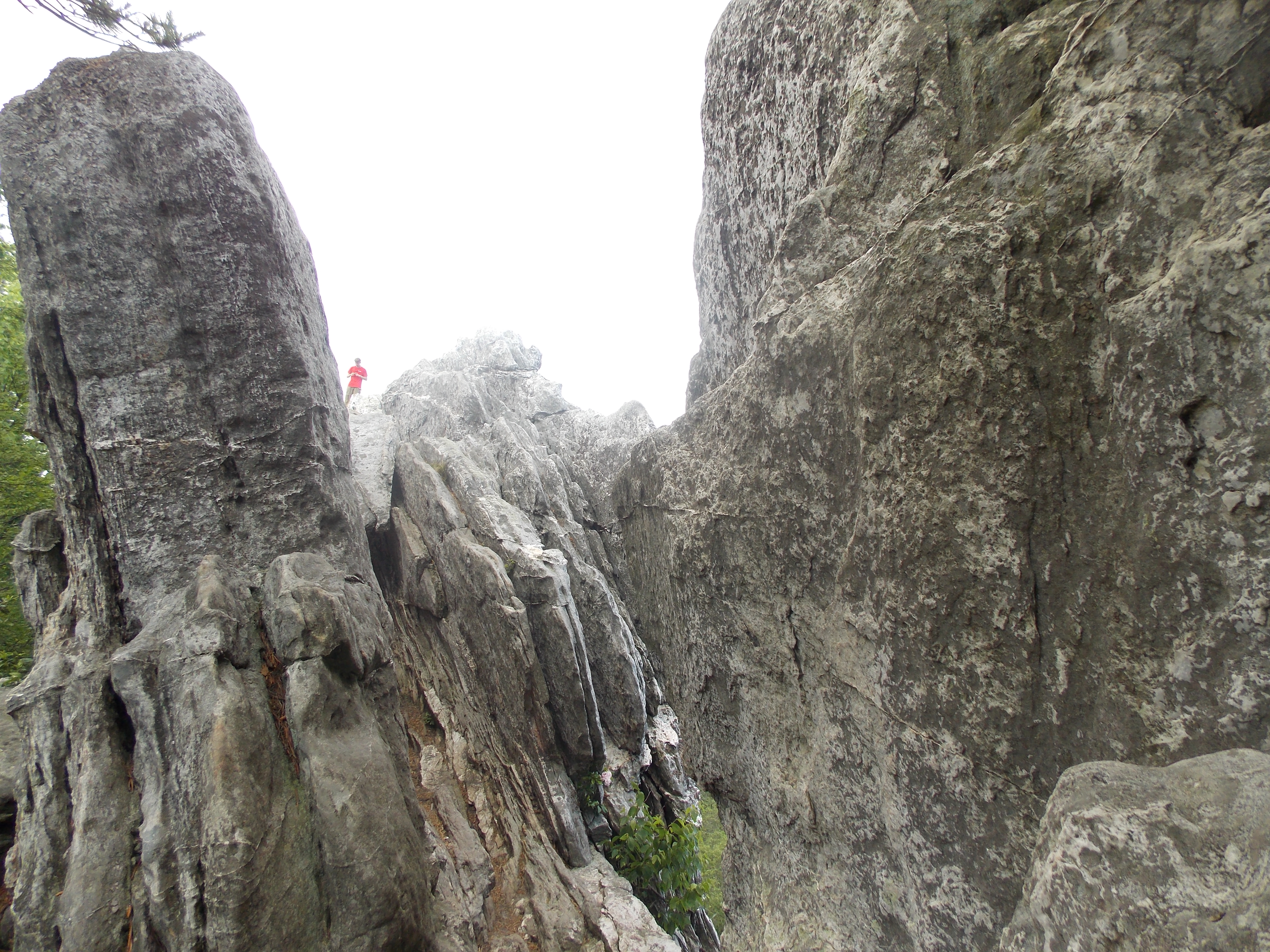
The Carvins Cove approach gains 1,200 feet in 2 miles — steep enough that the final pitch requires hands and knees. Tinker Cliffs is a rocky outcrop at 2,500 feet on the Appalachian Trail, and the scramble to reach it is the price of admission. On a clear day, the panorama stretches from Tinker Mountain to the Peaks of Otter. Roanoke sits in the Roanoke Valley, within the Blue Ridge range. In 1882, the Norfolk and Western Railway chose the small town of Big Lick as the site of its corporate headquarters and railroad shops. Within two years, the town had become the City of Roanoke. The rail work defined the city through most of the 20th century. In 1982, N&W moved its headquarters out, and manufacturing closures followed. The city shifted to a service economy. In the 21st century, marketing the outdoor amenities accessible from Roanoke's location in the Blue Ridge Mountains has helped reverse population decline. Tinker Cliffs is one of those amenities. Start from the Andy Layne Trailhead for a 7–8 mile round trip via Scorched Earth Gap. The rock underfoot is solid. The view is earned.
- ·Tinker Cliffs is a rocky outcrop at 2,500 feet on the Appalachian Trail.
- ·The Carvins Cove approach gains 1,200 feet in 2 miles.
- ·A challenging scramble — hands and knees required at the top.
- ·Panorama stretches from Tinker Mountain to the Peaks of Otter on a clear day.
- ·Visitor tip: start from Andy Layne Trailhead; 7–8 miles round trip via Scorched Earth Gap.
Memories
Nearby

Editorial content compiled with AI assistance. Place details verified against public records.