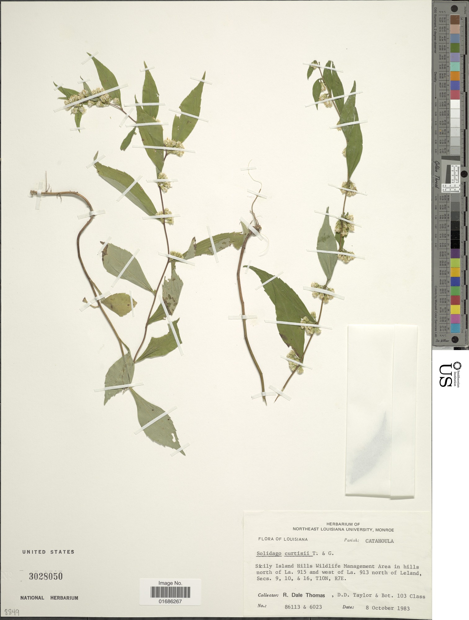
Northeast Louisiana is delta bottomland—flat alluvial country where a 100-foot rise counts as a hill. Sicily Island Hills Wildlife Management Area breaks that pattern. The terrain here climbs to 245 feet above mean sea level in rugged rolling hills that descend to creek bottoms, a landscape more Ozarks than Mississippi Delta. The loess formation is rare in the lowlands, supporting upland hardwood and native prairie instead of the cypress-tupelo swamps that define the region. Rock Falls on Big Creek drops 17 feet—one of the tallest waterfalls in Louisiana. St. Mary's Falls on Sandy Bayou drops 10 feet. A third cascading waterfall on a tributary of Sandy Bayou drops five feet. The Louisiana Department of Wildlife and Fisheries marks three trails with paint and signs: the seven-mile Big Creek Hiking Trail on the north end, the 1.1-mile St. Mary's Falls Trail, and the .7-mile Rock Falls Trail on the southern end. The department warns that getting lost is still a danger. The two camping areas are very primitive. Five of Louisiana's seven venomous snakes can likely be found here. White-tailed deer, squirrel, turkey, woodcock, rabbit, and raccoon live in the WMA. Louisiana black bear frequents the area. Bald eagles and their nests are found here. The department arranges a public lottery hunt for turkey each year and schedules a youth lottery hunt before the season begins. The state purchased 2,021 acres and received a donation of 4,159 acres in 1980 to create the Sicily Island Hills Wildlife Management Area. Between 1984 and 2002, the state purchased an additional 1,345 acres. In 2015 the Louisiana State Senate renamed it for J.C. "Sonny" Gilbert, who served in the state senate from 1960 to 1972, then in the Louisiana House of Representatives in 1972, and on the Louisiana Wildlife and Fisheries Commission from 1976 to 1982, the last two years as chairman. He served on the National Wild Turkey Federation Board of Directors from 1980 to 1987, as president from 1983 to 1985, and chairman of the board from 1985 to 1987. The WMA is located six miles west of Sicily Island, east of the Ouachita River and Louisiana Highway 559, with Louisiana Highway 8 running along the bottom portion. The Boeuf River runs through the northwest corner.
- ·Rare loess hill formation in the delta lowlands
- ·Elevations over 100 feet—unusual for northeast Louisiana
- ·Upland hardwood and native prairie ecosystem
- ·Feels more Ozarks than Mississippi Delta
- ·Hunting, fishing, and hiking trails
- ·Near Sicily Island in Catahoula Parish
Memories
Nearby
Editorial content compiled with AI assistance. Place details verified against public records.