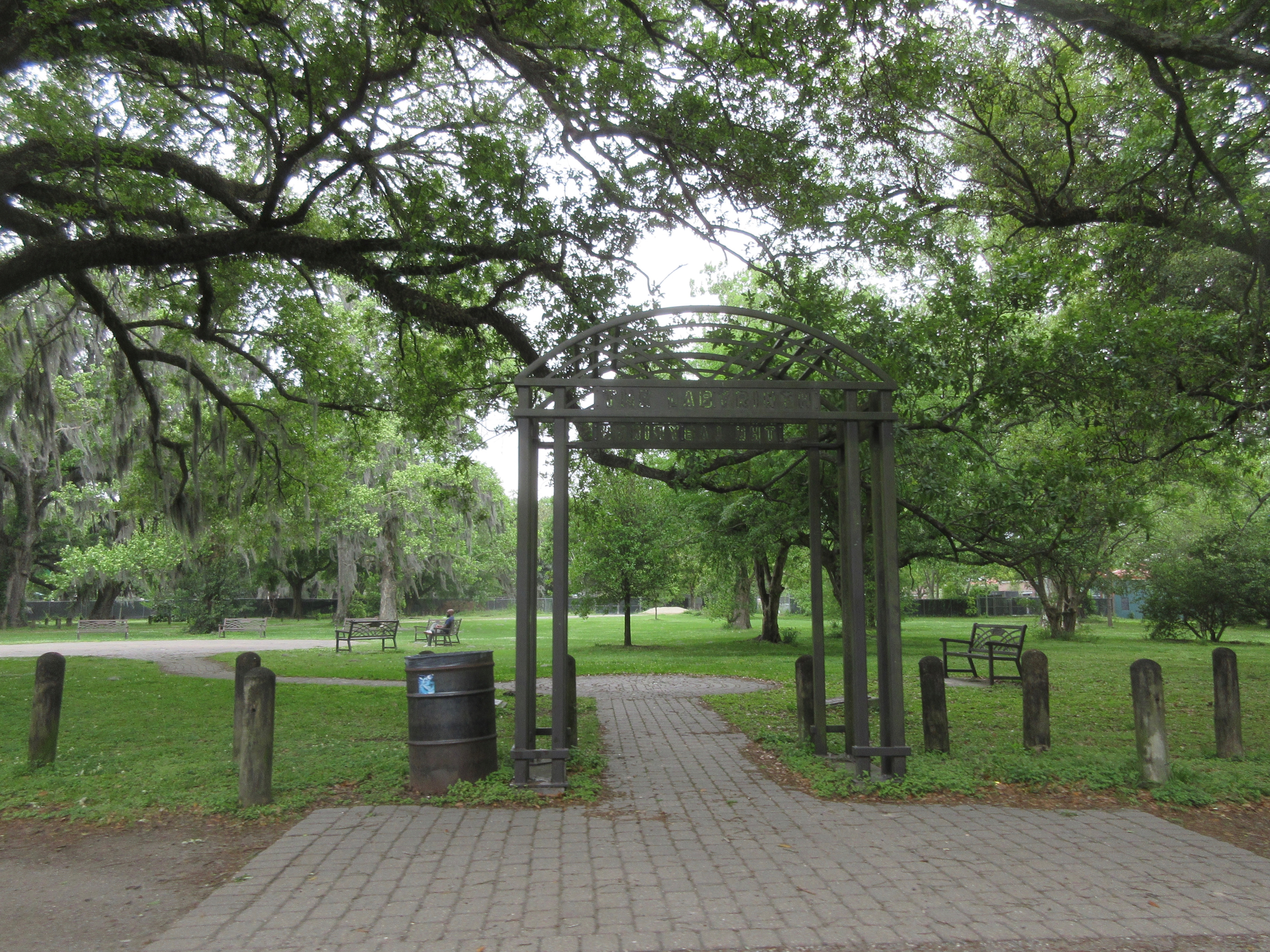
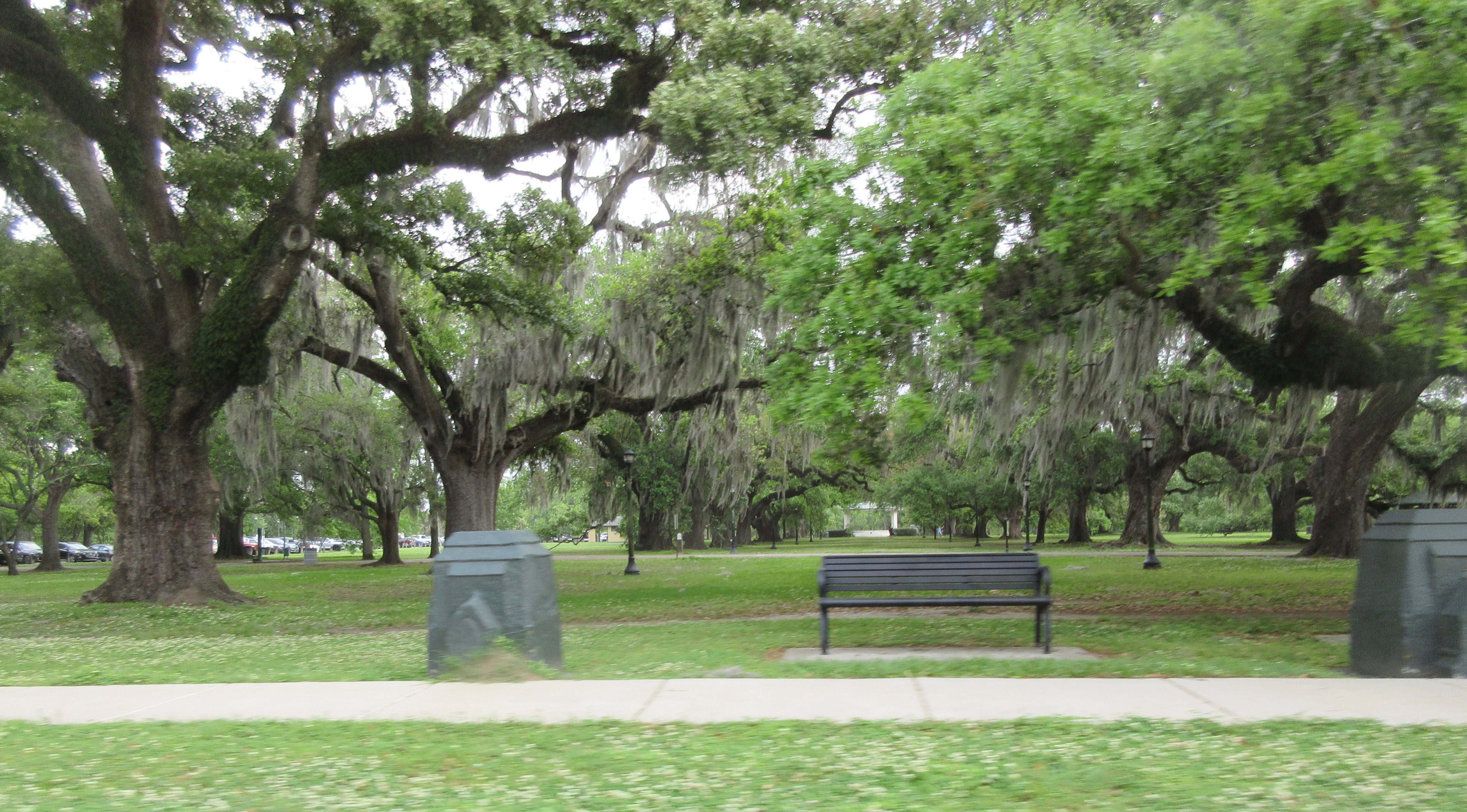
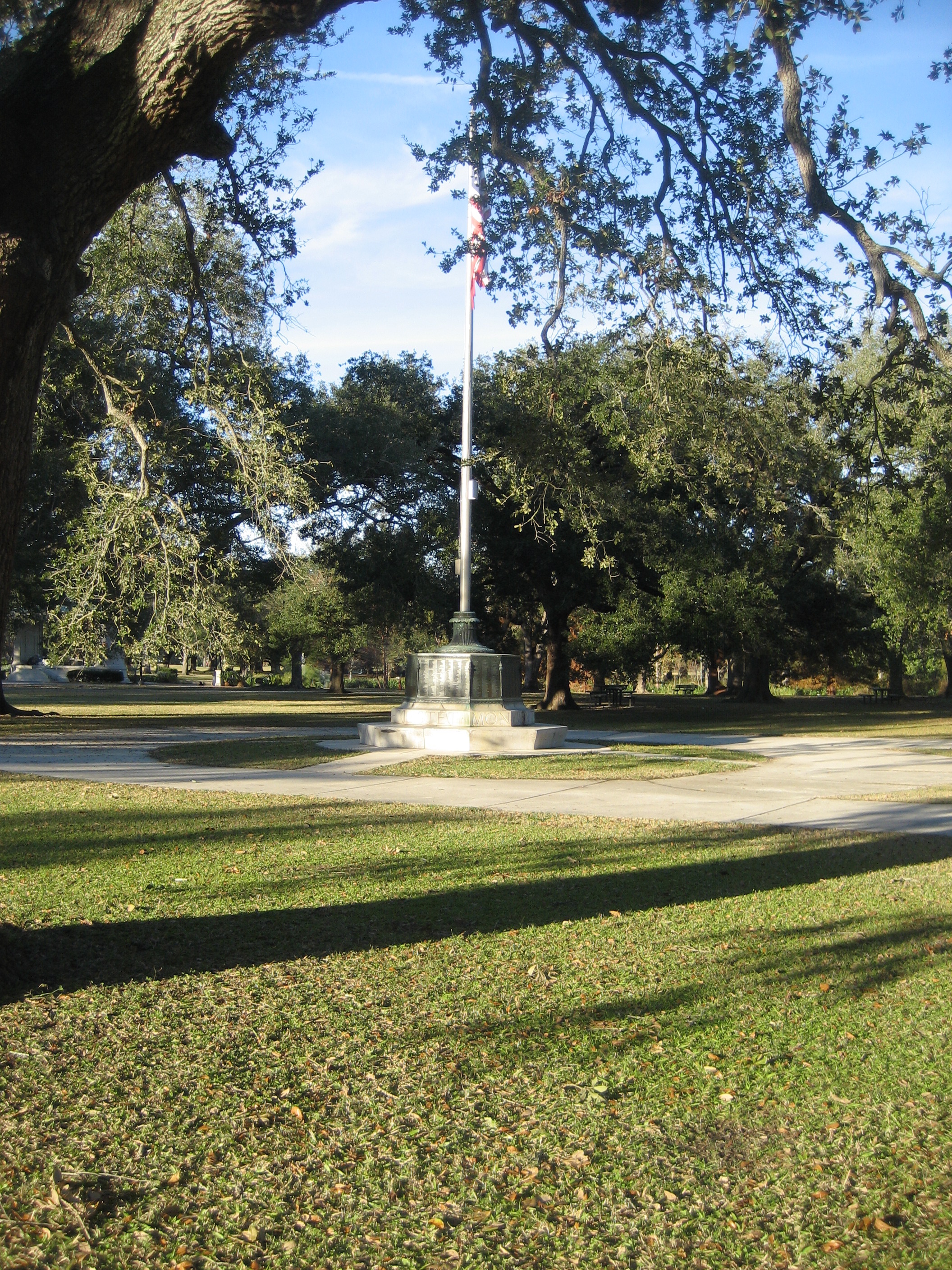
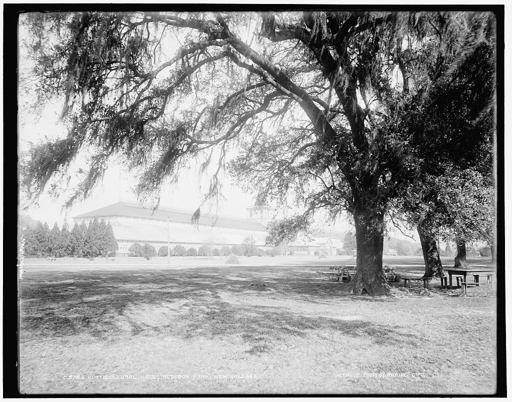
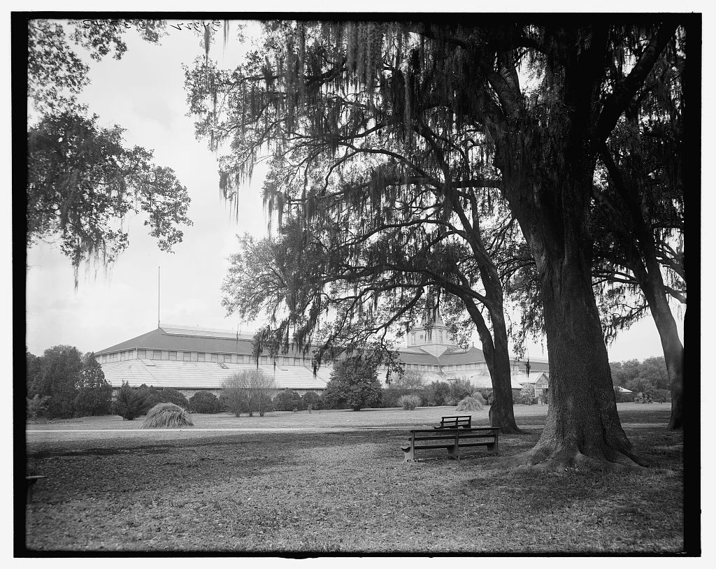
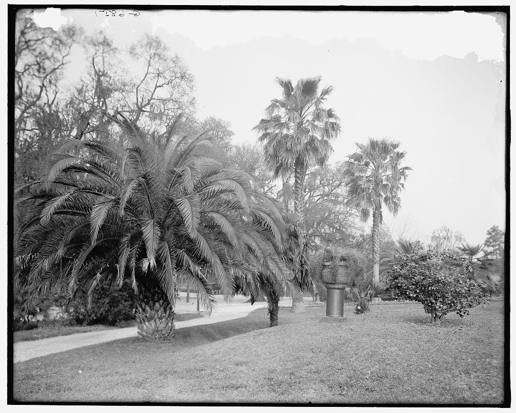
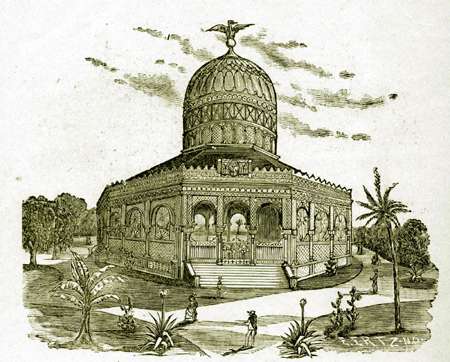
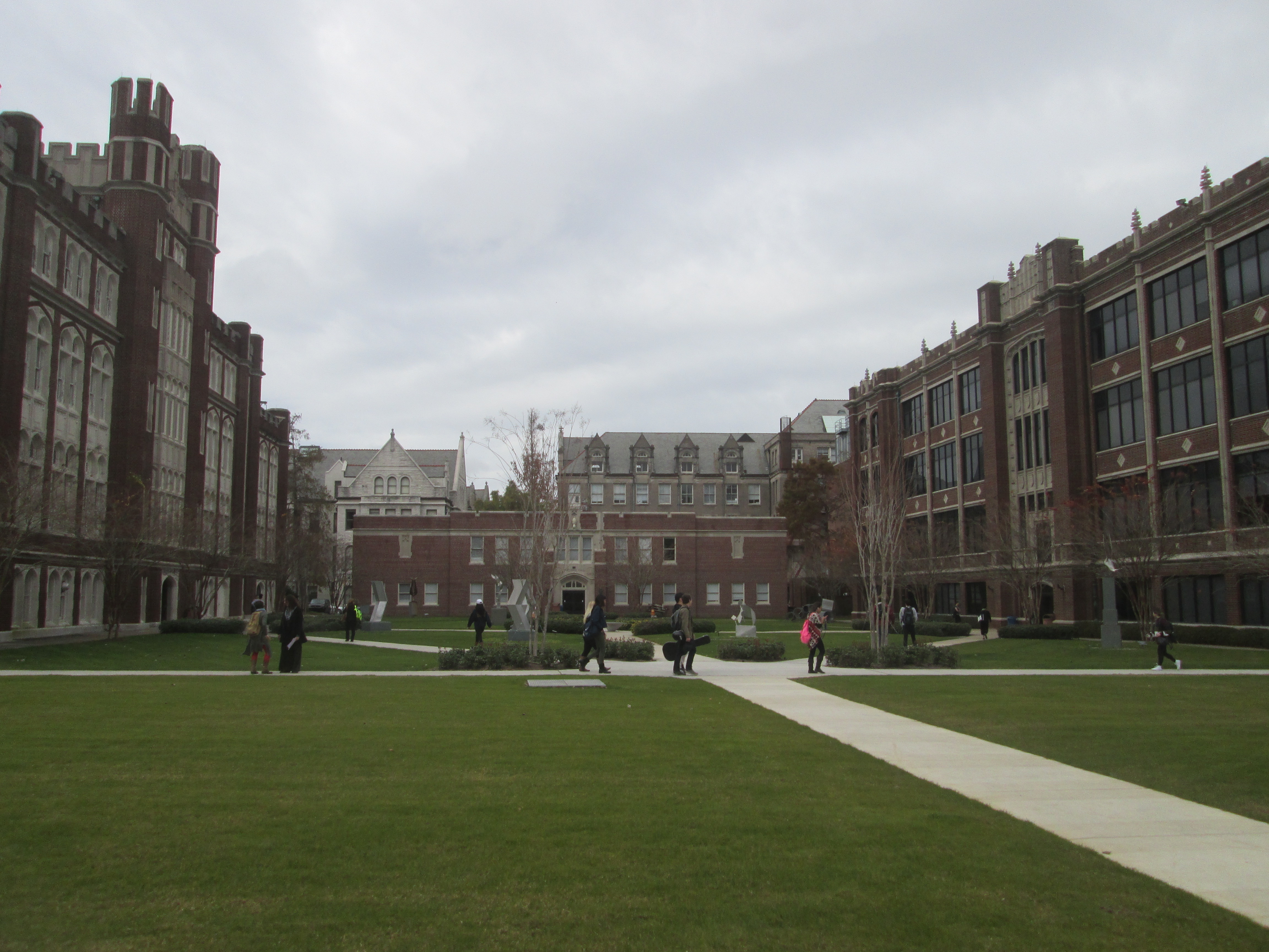
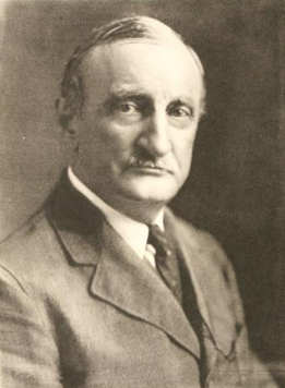
The oldest live oaks in Audubon Park predate it by centuries — among the oldest living things in New Orleans. They stood when this land was a pair of plantations: the Étienne de Boré Plantation downstream and the Pierre Foucher Plantation upstream. By 1825, the Foucher family had expanded their holdings to include all the land now part of the park. In 1832, Louis Frederic Foucher abandoned the property and moved to France. Both Confederate and Union armies used the site during the Civil War; later, it served as a staging area for the Buffalo Soldiers. The City of New Orleans annexed the area in 1870. In 1871, Foucher's widow sold the land to two real estate developers, Bloomer and Southworth, who sold the river-side portion to the city for use as a park. The nascent park hosted the World Cotton Centennial of 1884. After the fair closed, most buildings were demolished, and the park's development began in earnest. Horticultural Hall remained until the 1915 New Orleans hurricane destroyed it. The only 21st-century reminder of the fair is a large iron ore rock from the Alabama State exhibit — often misidentified in local lore as a meteorite. The park's present form largely follows a design drafted by John Charles Olmsted of the Olmsted Brothers landscape architecture practice. The ring road around the park closed to automobile traffic at the start of the 1980s and became a popular 1.7-mile walking, jogging, and biking route. A 2.2-mile dirt path around the perimeter draws runners seeking a less congested route. When Hurricane Katrina hit in 2005, a few old live oaks were blown down, but the park sits on high ground comprising the Mississippi River's natural levee and was spared the flooding that submerged much of the city. Audubon Park served as a makeshift helicopter port and encampment for National Guard troops and relief workers after the storm. Tulane and Loyola universities flank the approximately 350-acre park on St. Charles Avenue. The Audubon Zoo occupies its river edge; it received significant improvement from the Works Progress Administration and again from the 1970s onward. The riverside area, known colloquially as "The Fly," references a modernist, butterfly-shaped river viewing shelter constructed in the 1960s and demolished in the 1980s after severe damage from blundering river traffic. Ochsner Island on the east side features a rookery attracting hundreds of wading birds — great egrets, cattle egrets, snowy egrets, ibis, little blue herons, green herons, and night herons. The park is also home to diving double-crested cormorants, anhingas, and many species of ducks. The park is free and open daily. The St. Charles streetcar stops at the entrance.
- ·340 acres of landscaped grounds created from the remnants of the failed 1884 World's Fair.
- ·The 1.8-mile lagoon loop is one of the most popular running and walking paths in the city.
- ·Several live oaks in the park predate it by centuries — among the oldest living things in New Orleans.
- ·Tulane and Loyola universities flank the park on St. Charles Avenue; the zoo occupies its river edge.
- ·Free and open daily. The St. Charles streetcar stops at the park entrance.
More archive
Memories
Nearby
Editorial content compiled with AI assistance. Place details verified against public records.