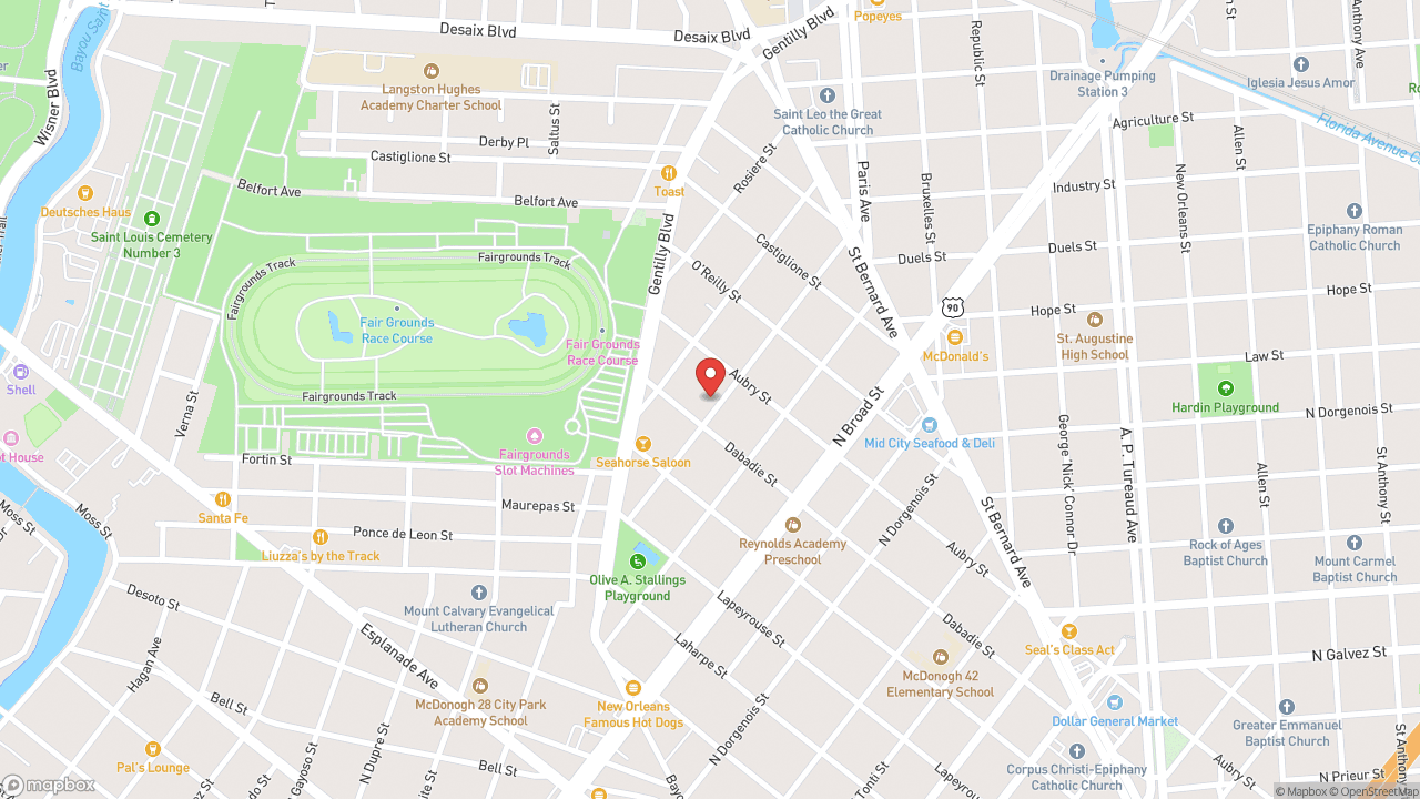
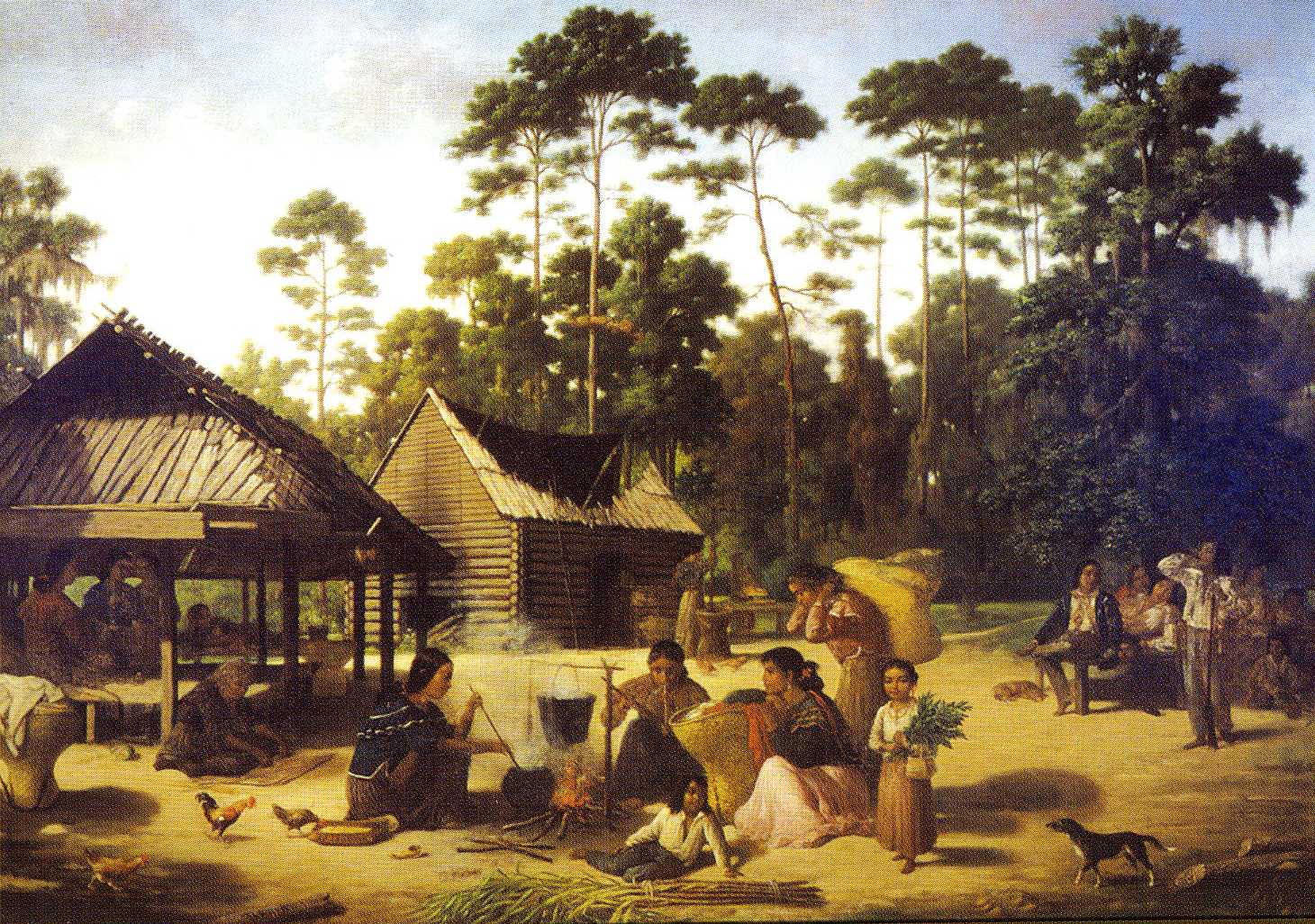
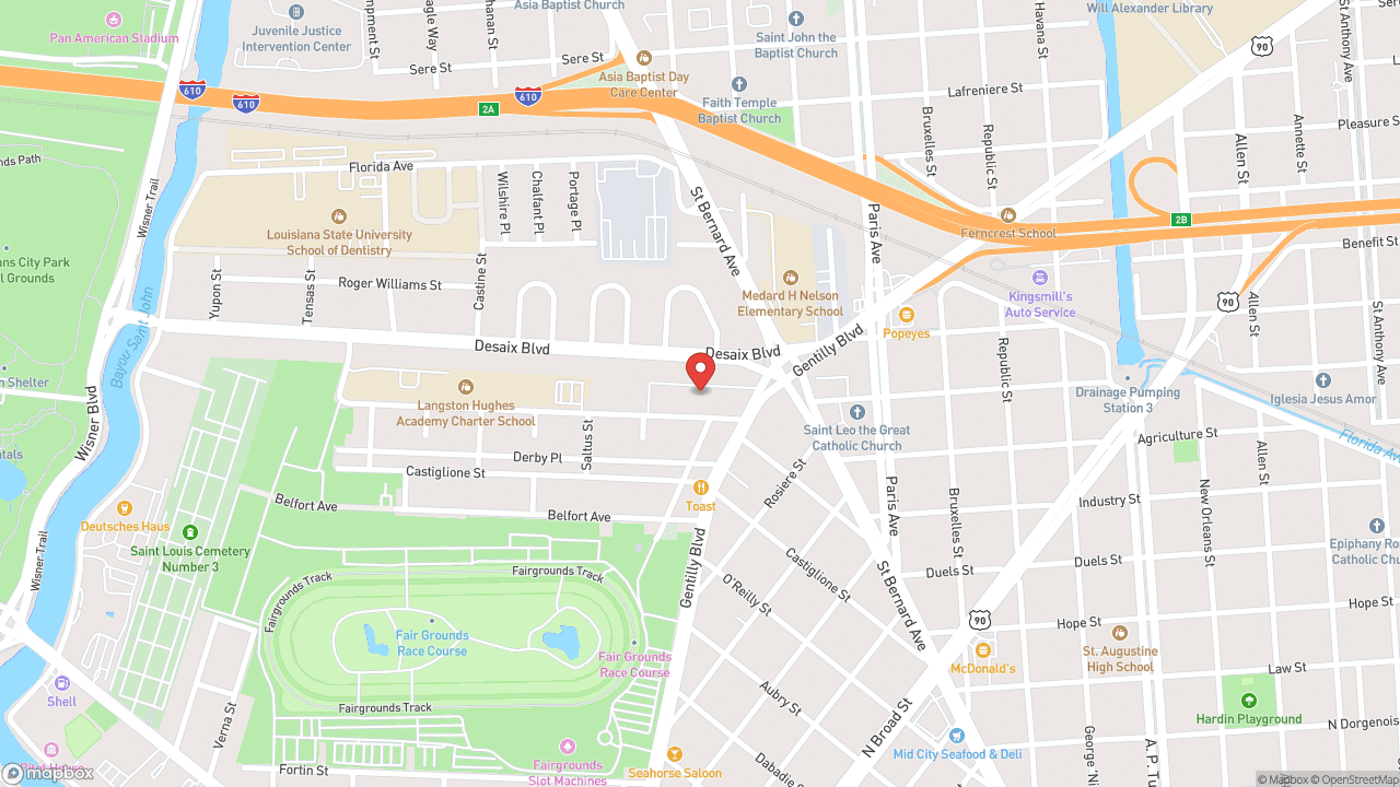
The diagonal cut Bayou Road makes through Mid-City's grid is older than the grid. Native Americans portaged canoes across this high ground between Bayou St. John—they called it Bayouk Choupic—and the Mississippi River. The waterway was navigable by canoe and had been used since pre-Columbian times. The portage existed because of the difference in water level between the bayou and the sea. French explorers, traders, and trappers arrived by the 1690s, drawn by the shortcut. Some established a small community there by the late 17th century. In 1701 the French built a fort beside the Lake Pontchartrain end of the bayou to protect the route. Future generations would know it as Old Spanish Fort. In 1718, Jean-Baptiste Le Moyne de Bienville chose this site to found New Orleans. The bayou and the portage were key factors in the selection. The city was placed at the river end of the portage route. The portage trail became the Grand Route St. John, later replaced by Esplanade Avenue. But the original diagonal remains: Bayou Road cuts across the regular blocks, the route still visible in the street grid. The land mass that became New Orleans was formed around 2200 BCE when the Mississippi River deposited silt. The portage that crossed it determined where the city would stand. Walk Bayou Road from Esplanade and you're following the path that predates everything else—the reason the city exists at all.
- ·Native peoples portaged canoes across the high ground between Bayou St. John and the Mississippi long before the city existed.
- ·Bienville chose this site in 1718 specifically because of the portage.
- ·The route is still visible in the street grid — Bayou Road cuts diagonally across the regular blocks.
- ·The portage is what made this location worth founding a city on.
- ·Visitor tip: walk Bayou Road from Esplanade to see the diagonal path that predates everything else.
Memories
Nearby

Editorial content compiled with AI assistance. Place details verified against public records.