The Ozone Belt — Trace, Springs & Tchefuncte
This is how New Orleanians have always used the North Shore: ride the Trace to the springs, drink the water, eat the food, then find a dock on the Tchefuncte before dark. The 1887 railroad that built the ozone belt resort economy now carries cyclists through five towns; the same artesian water that cured yellow fever seasons the beer that made the brewery famous.
The route
 1Nature & Parks·1995Tammany Trace
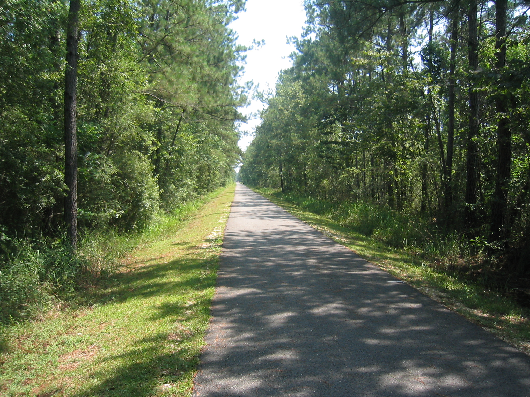
A 19th-century railroad ran the North Shore of Lake Pontchartrain, serving resorts that had sprung up in the parishes across the water from New Orleans. The rails are gone now, but the right-of-way remains, and in 1994 Louisiana turned it into the Tammany Trace, the state's first rails-to-trails conversion. Thirty-one miles of paved path link Covington, Abita Springs, Mandeville, Lacombe, and Slidell—five towns strung along the old line like beads on a thread. The Trace crosses cypress bayous on refurbished wooden trestles, the kind of infrastructure that outlasts its original purpose and gets pressed into new service. Lake Pontchartrain itself is an estuary, fed by the Tangipahoa, Tchefuncte, Tickfaw, Amite, and Bogue Falaya rivers, and by Bayou Lacombe and Bayou Chinchuba. The waterways made the North Shore what it is—a threshold between river and gulf, fresh water and salt, city and retreat. Rent bikes at the Covington or Abita trailheads. The full route takes about four hours each way. You're riding the bones of what connected people to this place before the causeway, before the interstates, when the lake was something you crossed by other means.
- 2Art·1993UCM Museum — Abita Mystery House
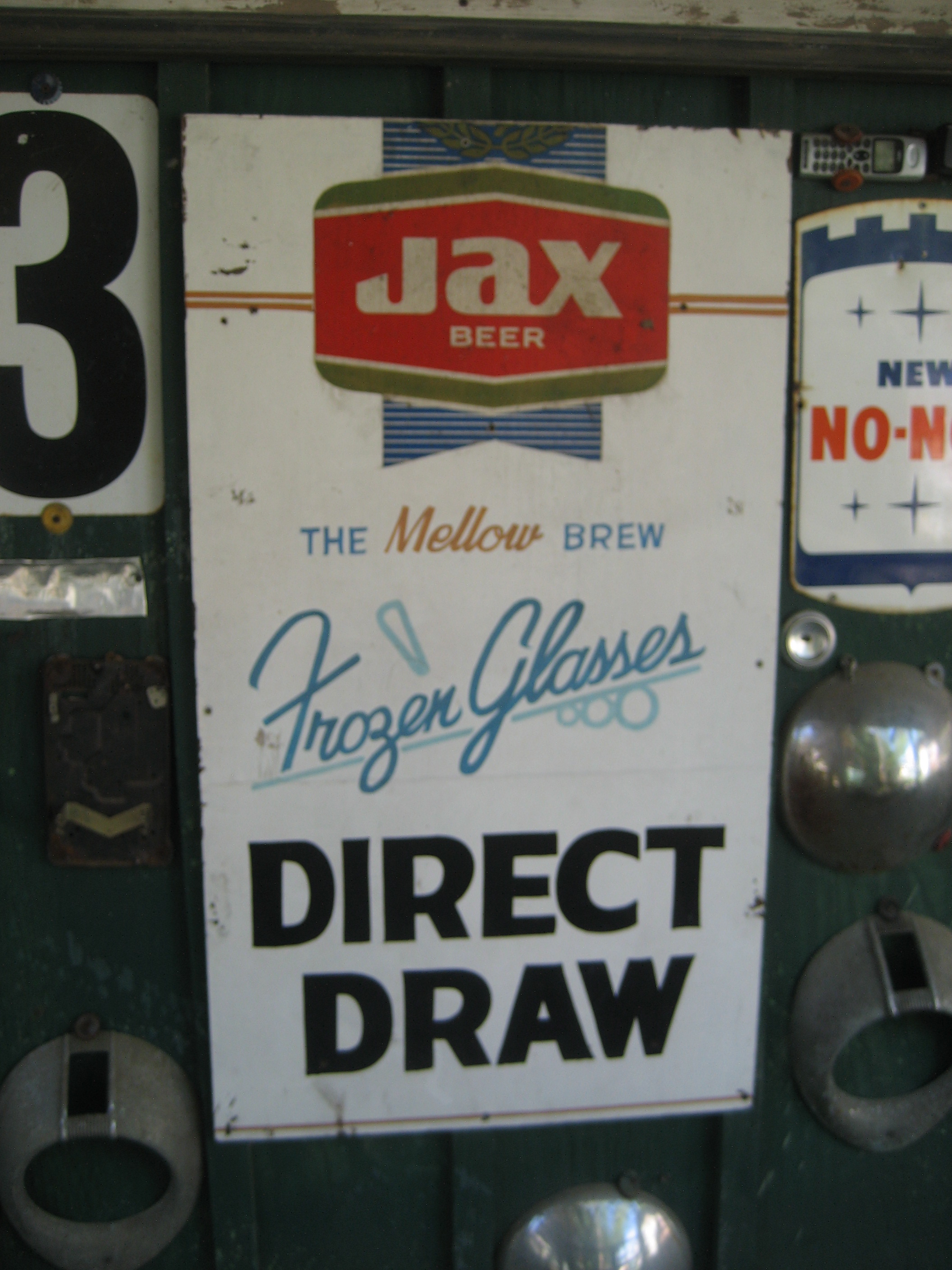
John Preble took a vintage gas station and Creole cottage in Abita Springs and packed them with more than 50,000 found objects — transistor boards, bottle caps, paint-by-number paintings, handmade crypto-taxidermy. The whole installation opened in 1993 as the UCM Museum, which stands for "you-see-em," a straight-faced announcement of what you're about to encounter. The animated dioramas of Southern life anchor the collection: miniature scenes built from salvage that move and click and hum. This is Louisiana outsider art in the folk tradition — the impulse to build something monumental from what nobody else wanted, in a place where the lake and swamp have always shaped what gets kept and what gets thrown away. St. Tammany Parish sits on the north shore of Lake Pontchartrain, an estuary that connects to the Gulf through narrow passages and cycles between fresh and brackish depending on the season. The land itself is accretion — alluvial deposits that built up over 4,000 years as the Mississippi Delta evolved. Preble's museum is its own kind of accumulation, a personal delta of American throwaway culture reformed into something you can't stop looking at. Admission is $3 cash. The Abita Brew Pub is next door if you need to process what you just saw.
 3Architecture·1880s·NRHPAbita Springs Historic District
Yellow fever didn't negotiate. When the disease swept New Orleans in summer waves, those who could afford it took the train north across Lake Pontchartrain to drink cold artesian water and sleep under the pines. Abita Springs built itself around that exodus — a nationally advertised health resort banking on deep springs that rose uncontaminated from the aquifer and air fragrant enough to earn the town the nickname "Ozone Belt." The railroad made it possible; the fear made it profitable. What remains is not grand. The 162-acre historic district holds 180 contributing buildings, nearly all of them modest: shotgun cottages, bungalows, North Shore houses with deep porches designed to shade and ventilate in Louisiana's heat. Most were built between 1900 and 1930, when the town's resort identity was strongest. The architecture reflects local climate more than style — wide eaves, cross-ventilation, rooms that open to the outside. Visitors came for health; residents built for the weather. The resort model collapsed after World War I as public health infrastructure improved and the romantic appeal of mineral water faded. The town that survives is quieter, its buildings spaced in the pines rather than pressed along commercial strips. The district earned its National Register listing in 1982 for preserving that spa-town pattern intact — a record of how people fled pestilence, and what they built when they got here. Pick up a walking-tour map at the town hall to follow the layout that once promised survival.
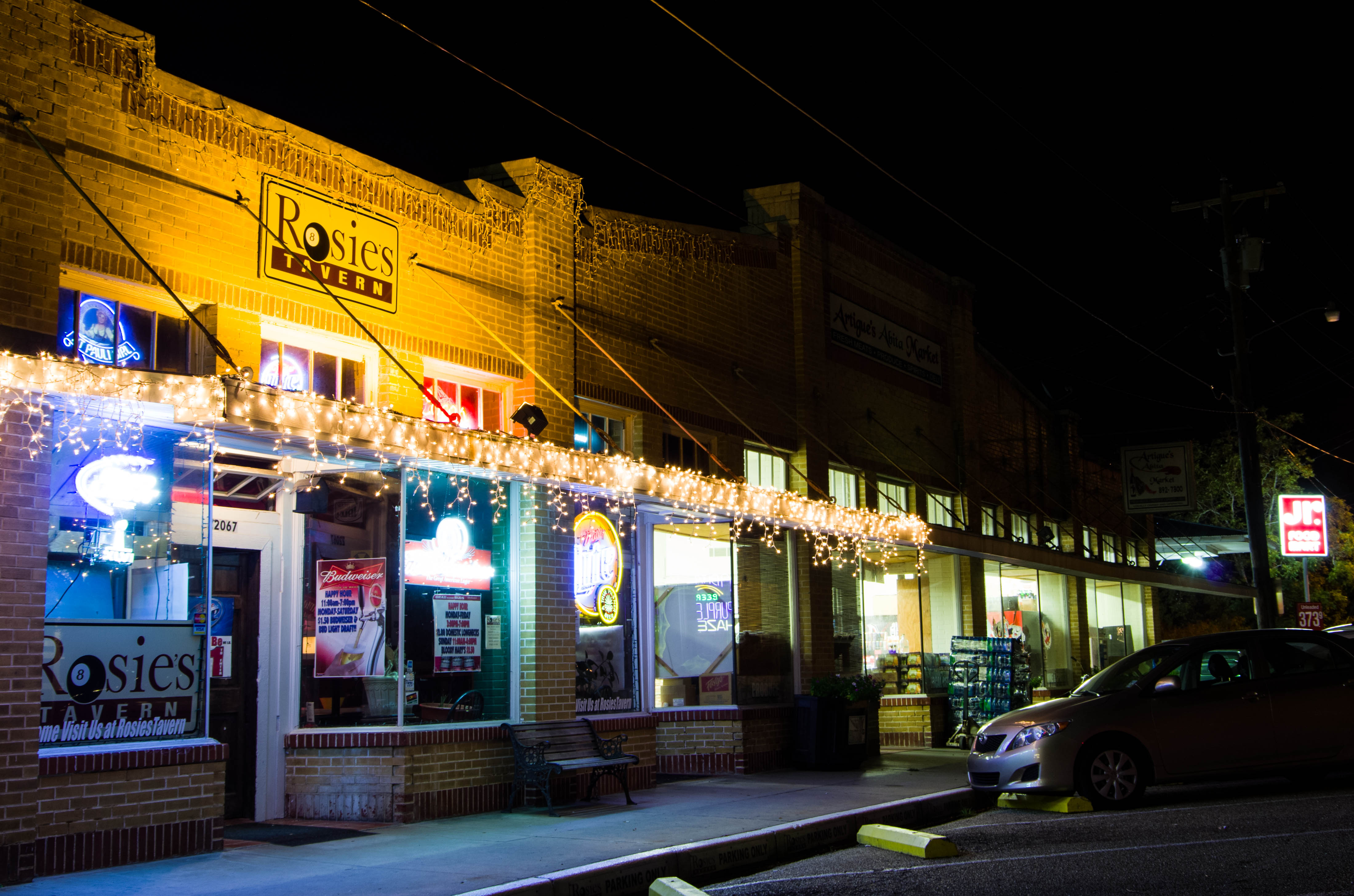
 4Architecture·1813·NRHPDivision of St. John Historic District — Downtown Covington
The layout dates to 1813: every block 360 feet square, with a second square — 120 feet on each side — carved from the center of each one. The small interior squares connected to the street grid through alleys. They were held in common. Farmers and merchants tethered oxen and livestock there, so they became known as oxlots. Of the 20 blocks in the original district, 18 still have oxlots. Nine remain largely unencroached. One is pristine. Together they represent more than nine acres of open space, confined and semi-naturalistic, inside the urban fabric — a resource that could have been eliminated but wasn't. The Division of St. John is St. Tammany Parish's largest National Register historic district, covering 100 acres and 19 city blocks of Covington, the parish seat. It sits at the confluence of the Bogue Falaya and Tchefuncte rivers — two of the streams that feed Lake Pontchartrain, the estuary that connects this shore to New Orleans and the Gulf beyond. Two major fires destroyed most buildings before 1880. What stands now came during redevelopment booms in the lumber and "ozone" resort industries of the late nineteenth and early twentieth centuries. The listing, added to the National Register in 1982, includes 170 contributing buildings and 77 non-contributing structures, mostly one-story and spread relatively evenly throughout the blocks. Of these, 163 date from 1881 to 1930. The Southern Hotel anchors the commercial district — a two-story brick building completed in 1911 with corner pavilions, matching balconies, fixed awnings with overhead transoms, arched windows with arched lintels, and elaborate brackets. It still operates as a boutique property on the square. Saturday mornings bring the Covington Farmers Market next to Bogue Falaya Park.
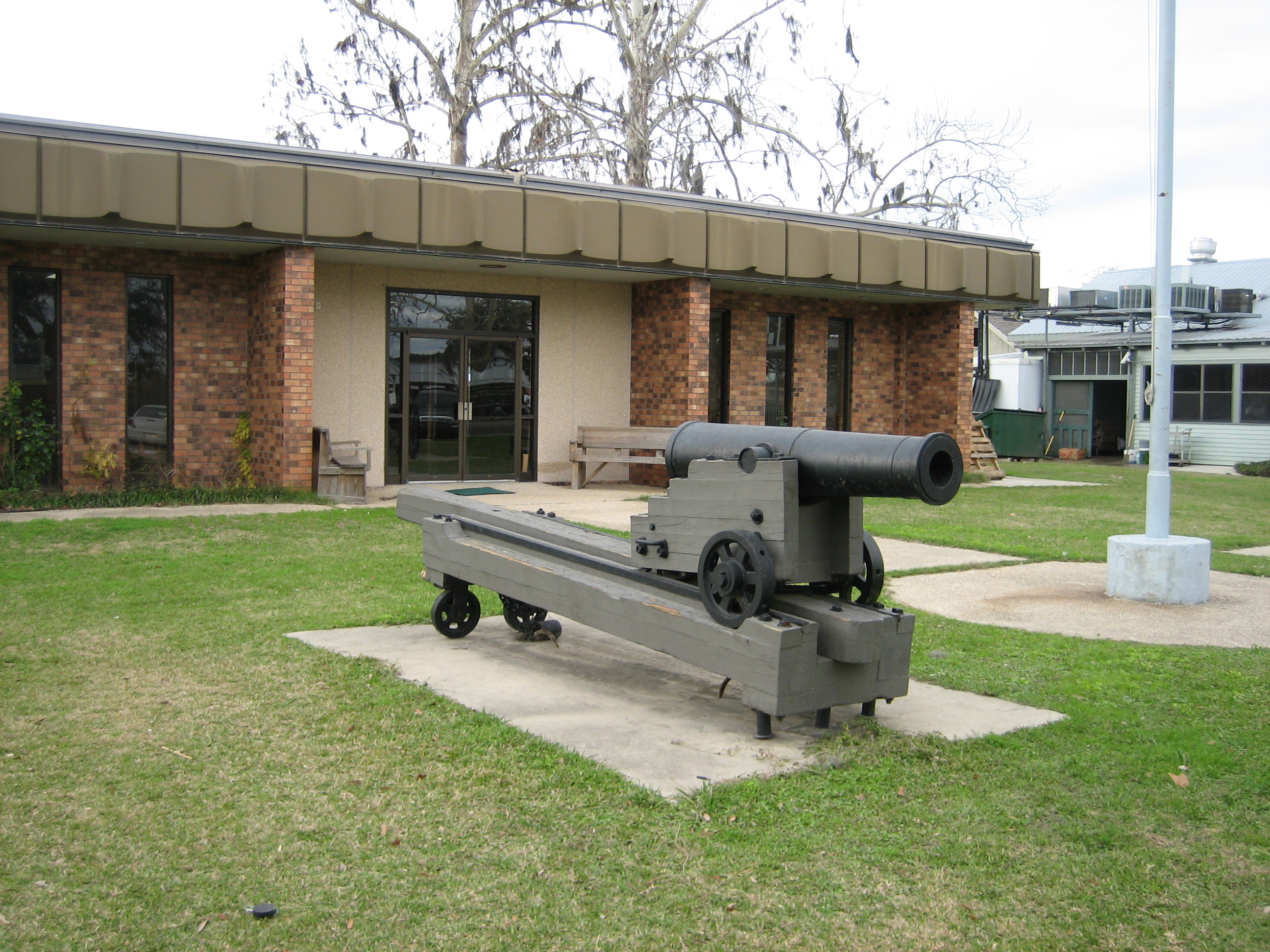 5Nature & Parks·1817·NRHPMaritime Museum Louisiana — Historic Madisonville
Madisonville sits two miles above Lake Pontchartrain on the Tchefuncte River, which delivers fresh water into the estuary. Founded in 1817, it became one of Louisiana's earliest wooden-boat-building centers. The estuary itself — 630 square miles of water connected to the Gulf of Mexico via the Rigolets and Chef Menteur Pass — receives water from the Tangipahoa, Tchefuncte, Tickfaw, Amite, and Bogue Falaya rivers, plus Bayou Lacombe and Bayou Chinchuba. The Maritime Museum Louisiana now hosts the annual Wooden Boat Festival each October, the largest gathering of wooden watercraft on the Gulf Coast. Plan a weekend around the festival for boatbuilder demonstrations and tall-ship visits.