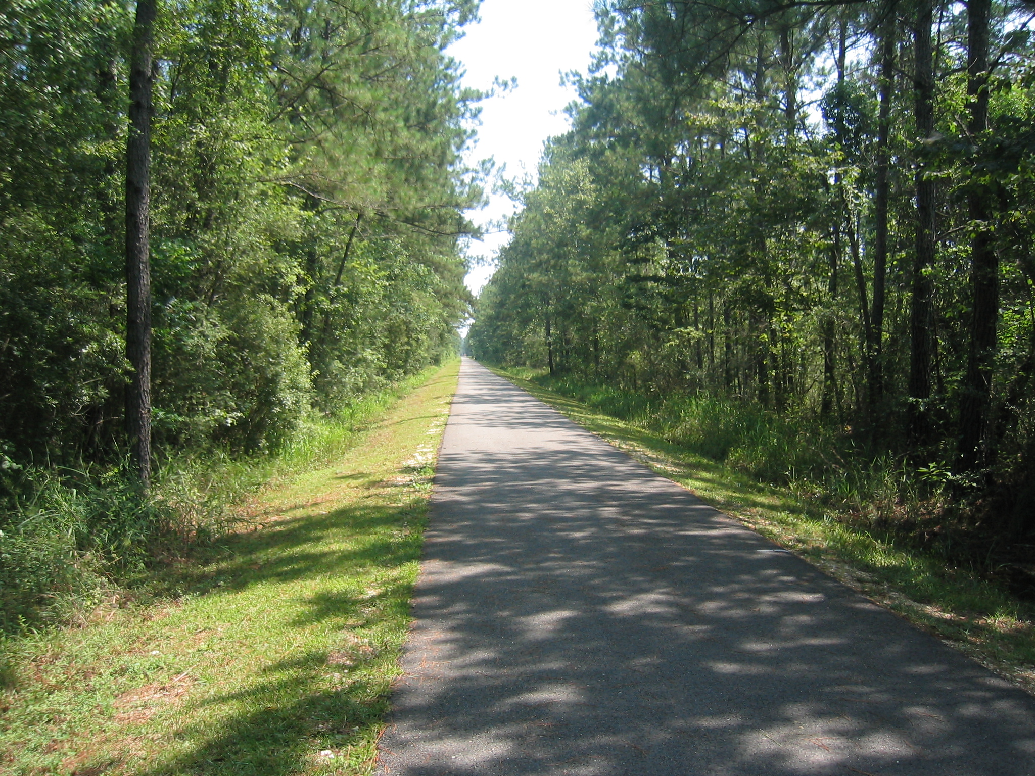
A 19th-century railroad ran the North Shore of Lake Pontchartrain, serving resorts that had sprung up in the parishes across the water from New Orleans. The rails are gone now, but the right-of-way remains, and in 1994 Louisiana turned it into the Tammany Trace, the state's first rails-to-trails conversion. Thirty-one miles of paved path link Covington, Abita Springs, Mandeville, Lacombe, and Slidell—five towns strung along the old line like beads on a thread. The Trace crosses cypress bayous on refurbished wooden trestles, the kind of infrastructure that outlasts its original purpose and gets pressed into new service. Lake Pontchartrain itself is an estuary, fed by the Tangipahoa, Tchefuncte, Tickfaw, Amite, and Bogue Falaya rivers, and by Bayou Lacombe and Bayou Chinchuba. The waterways made the North Shore what it is—a threshold between river and gulf, fresh water and salt, city and retreat. Rent bikes at the Covington or Abita trailheads. The full route takes about four hours each way. You're riding the bones of what connected people to this place before the causeway, before the interstates, when the lake was something you crossed by other means.
- ·The Tammany Trace is Louisiana's first rails-to-trails conversion, opened in 1994.
- ·The 31-mile paved path links Covington, Abita Springs, Mandeville, Lacombe, and Slidell.
- ·It follows the right-of-way of a 19th-century railroad that served North Shore resorts.
- ·Refurbished wooden trestles cross cypress bayous along the route.
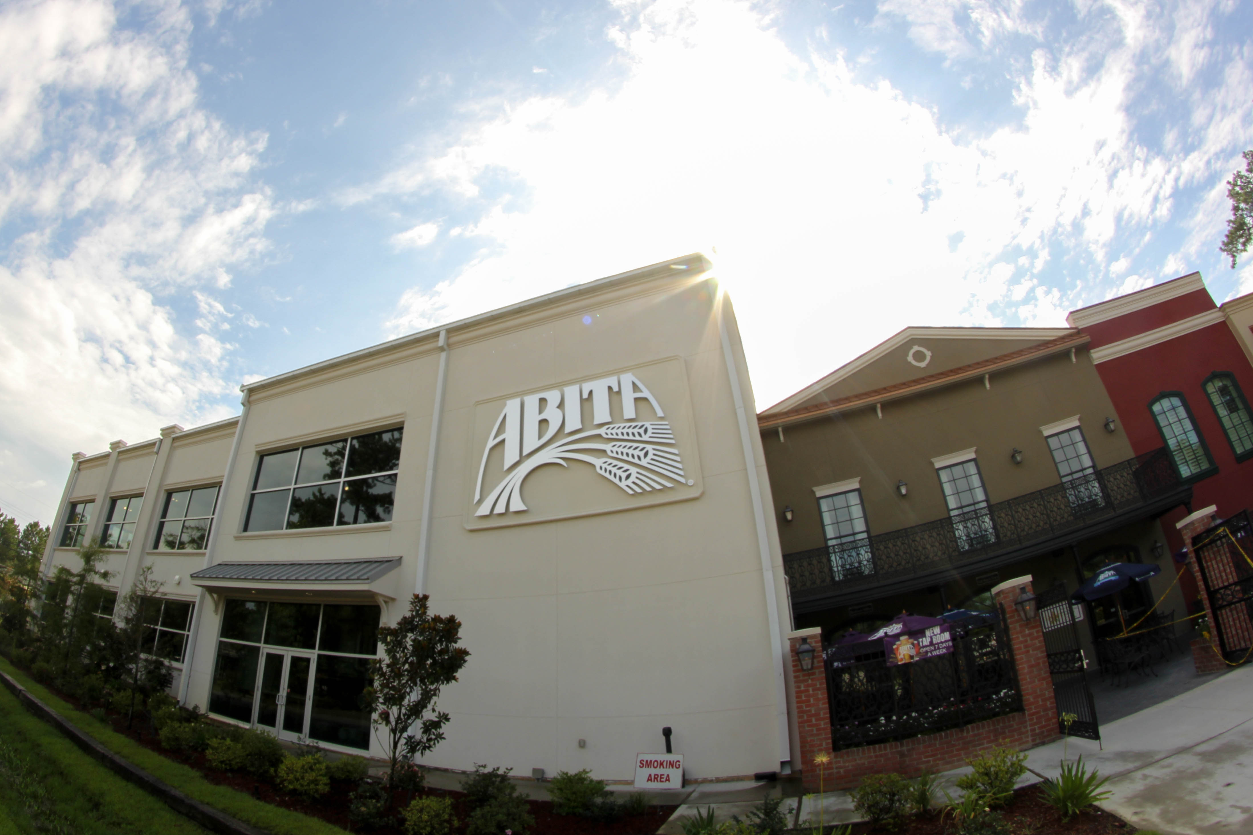
- ·Visitor tip: rent bikes at the Covington or Abita trailheads; the full route takes about 4 hours each way.
Memories
Nearby


Editorial content compiled with AI assistance. Place details verified against public records.