South of the subdivisions, Jefferson Parish dissolves into the same Barataria waterways the Chitimacha fished for centuries before Jean Lafitte's privateers used them to run goods past the Spanish customhouse in the 1810s. This trip launches from Crown Point, screams across open marsh by airboat, then slows to a walk on the boardwalks of the 20,000-acre Barataria Preserve, where alligators sun ten feet from the trail. It ends in the town of Jean Lafitte, population 2,000, where shrimp boats still tie up at the dock. The pirate is the hook. The fishing families are the place.
The route
 1Nature & Parks·1800s–presentCrown Point
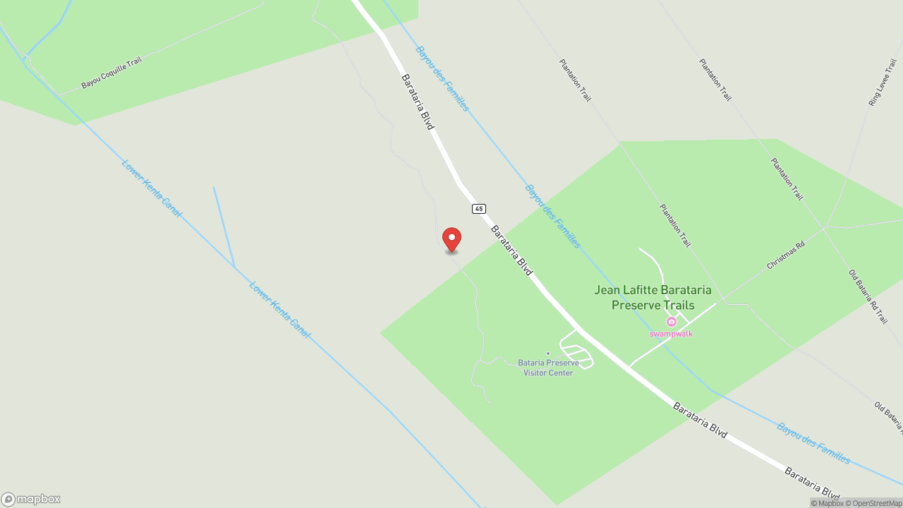
The Barataria Waterway was Jean Lafitte's smuggling route — the sheltered channel where contraband moved between the Gulf and New Orleans in the years before statehood. Crown Point sits at the crossroads of that same waterway, an unincorporated community that now serves as the primary launching point for swamp tours and fishing charters. Airboat Adventures and multiple operators base here. The Highway 45 bridge offers panoramic views of the wetlands. You're between Jean Lafitte town and the open Barataria marshes — one of the most accessible views of south Louisiana's disappearing coast. Brown pelicans work the water. Roseate spoonbills and egrets move through the shallows. The birding is excellent, and the vantage makes plain what's slipping away — not as metaphor, but as measurable fact. The coast is going. This is where you can see it.
 2Nature & Parks·1978–presentBarataria Preserve
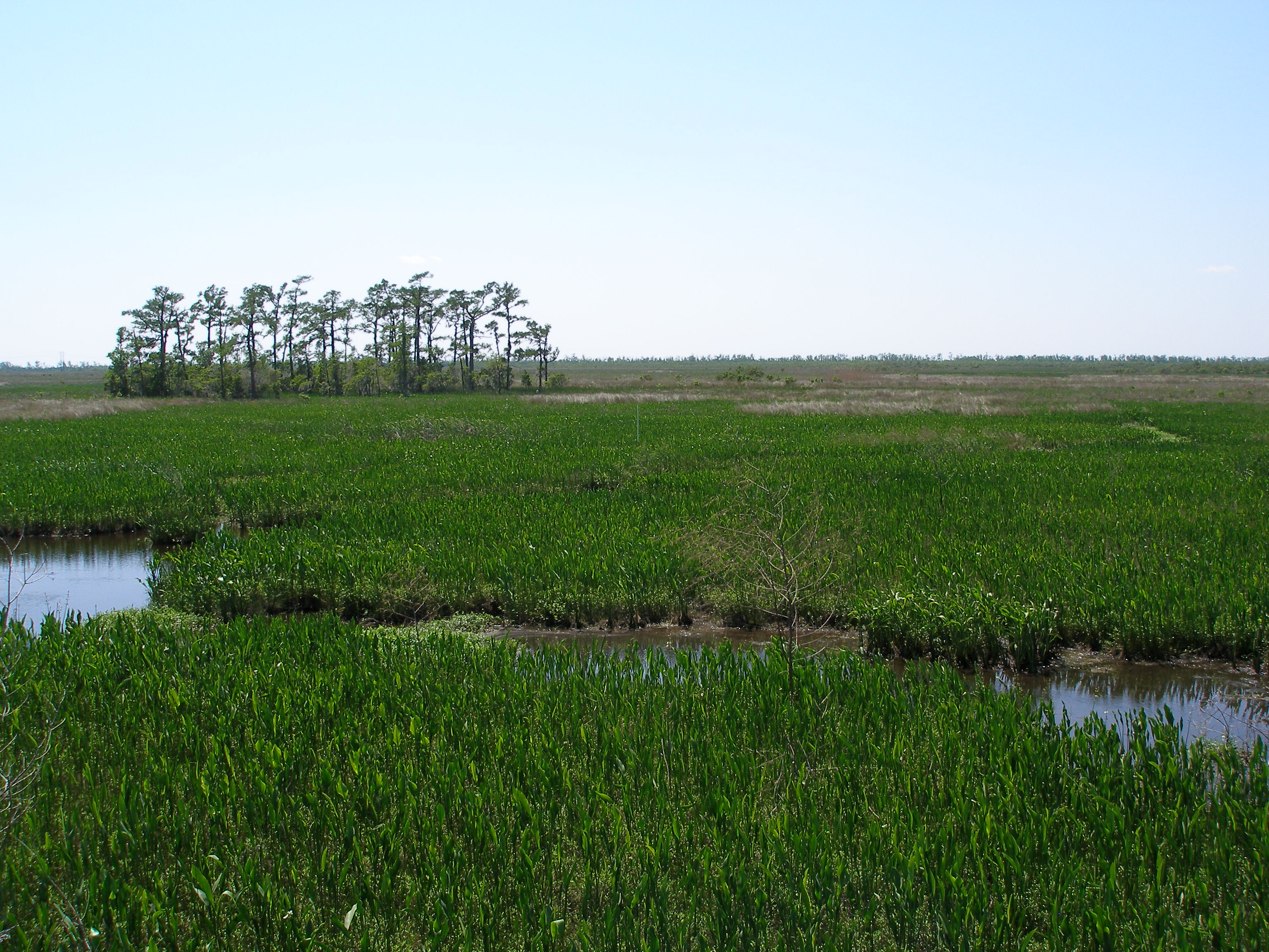
Twenty-three thousand acres of bayous, swamps, marshes, and hardwood forests, and the National Park Service lets you walk into it for free. Barataria Preserve is part of Jean Lafitte National Historical Park & Preserve — flat, paved boardwalks that hold steady over water dark enough to mirror the cypress, accessible enough that wheelchair users can roll out over gator habitat without translation. Over three hundred bird species have been documented here. Alligators are commonly visible from the boardwalks — not as rumor, as fact, as the thing lying still in the shallows ten feet from where you're standing. Rangers lead canoe tours and walking tours if you want the interpretive layer, but the boardwalks do their own work: they put you inside the system without asking you to make yourself smaller first. The preserve interprets both natural and cultural history of the Barataria region — the marsh as place, the people who worked it, the logic of how the two fit together. What it actually gives you is this: standing room in a functioning swamp, no ticket, no performance. Just the agreement that you'll look.
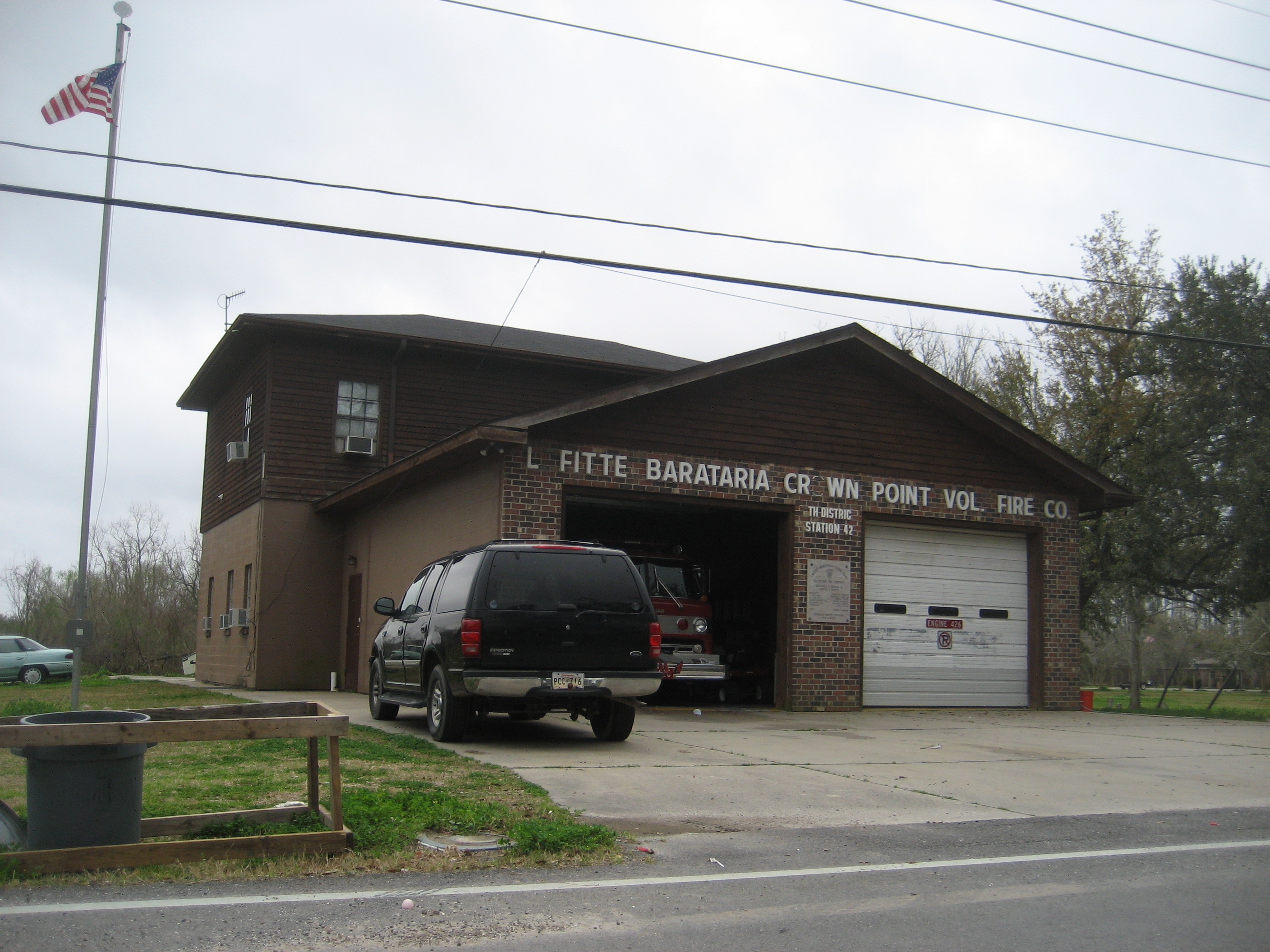
 3Historic Site·1800s–presentJean Lafitte Town
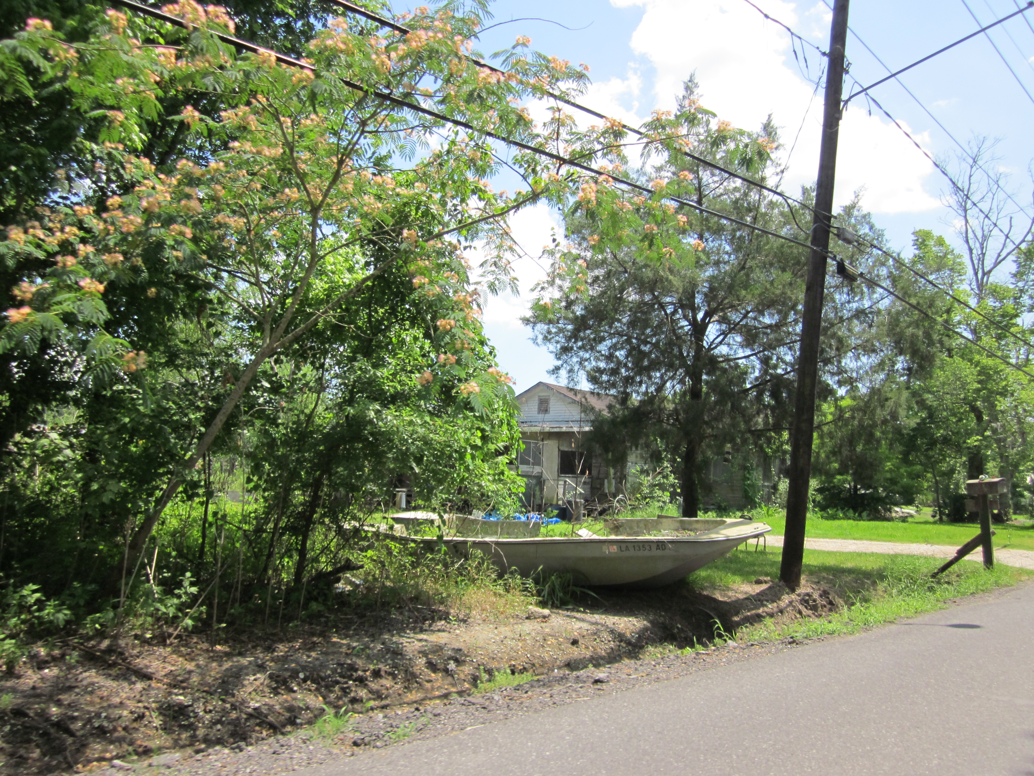
Two thousand people live where the road stops and the marsh begins. Jean Lafitte Town sits at the end of Highway 45, named for the privateer who ran his Barataria operations from these waters and later helped Andrew Jackson win the Battle of New Orleans in 1815. This is the last incorporated town before open marsh. The economy turns on what comes out of the water — shrimp, crab, oysters. Commercial fishing built the place and still runs it. The annual Jean Lafitte Seafood Festival celebrates that work. From here, swamp tour operators including Airboat Adventures launch into the Barataria Preserve, carrying visitors out past the last houses and into the bayou Lafitte knew. Highway 45 dead-ends at Barataria Bay. After that: only water.
 4Historic Site·2000s–presentLafitte Barataria Museum
The museum sits in the town that took the pirate's name, and it delivers both stories — the legend tourists hunt and the industry that keeps the lights on. Jean Lafitte's smuggling network threaded through these bayous, a fact the exhibits document without romance. But the museum gives equal weight to the families who've worked Barataria's waters for generations, the commercial fishermen whose labor built the economy after the privateers vanished. This is community preservation, not institutional gloss. Docents often carry family memory — someone whose grandfather ran a shrimp boat, someone who knows which storms remade the coast. The exhibits trace daily life on the water alongside the pirate routes, a pairing that makes clear what endures and what just makes good copy. It's affordable because local volunteers want the record kept, and it complements the National Park Service's Barataria Preserve visitor center without duplicating it. You come because Lafitte's name is on the map. You stay because the fishing story is the one that explains why people are still here.
 5Nature & Parks·Pre-colonial–presentBayou Barataria Waterway
Bayou Barataria runs south from Crown Point through the heart of the Barataria basin to the Gulf, carrying the same water Jean Lafitte's smugglers ran, the same water French colonists fished, the same water modern shrimpers work today. The surrounding wetlands are among the richest in North America—still thick enough with life to support commercial shrimping, crabbing, and oystering operations that share the waterway with oil and gas infrastructure and fishing camps built on pilings. You can launch a boat, paddle or motor, from Crown Point or Jean Lafitte and follow the bayou south toward Barataria Bay. What you'll see is a working landscape: nets drying, derricks rising, camps weathered gray by salt air, and an abundance of birds that suggests what "rich wetland" means when the term isn't decorative. The bayou system is losing land to coastal erosion at alarming rates. This is not a static place. What holds now may not hold. Go while the waterway still connects what it connected.