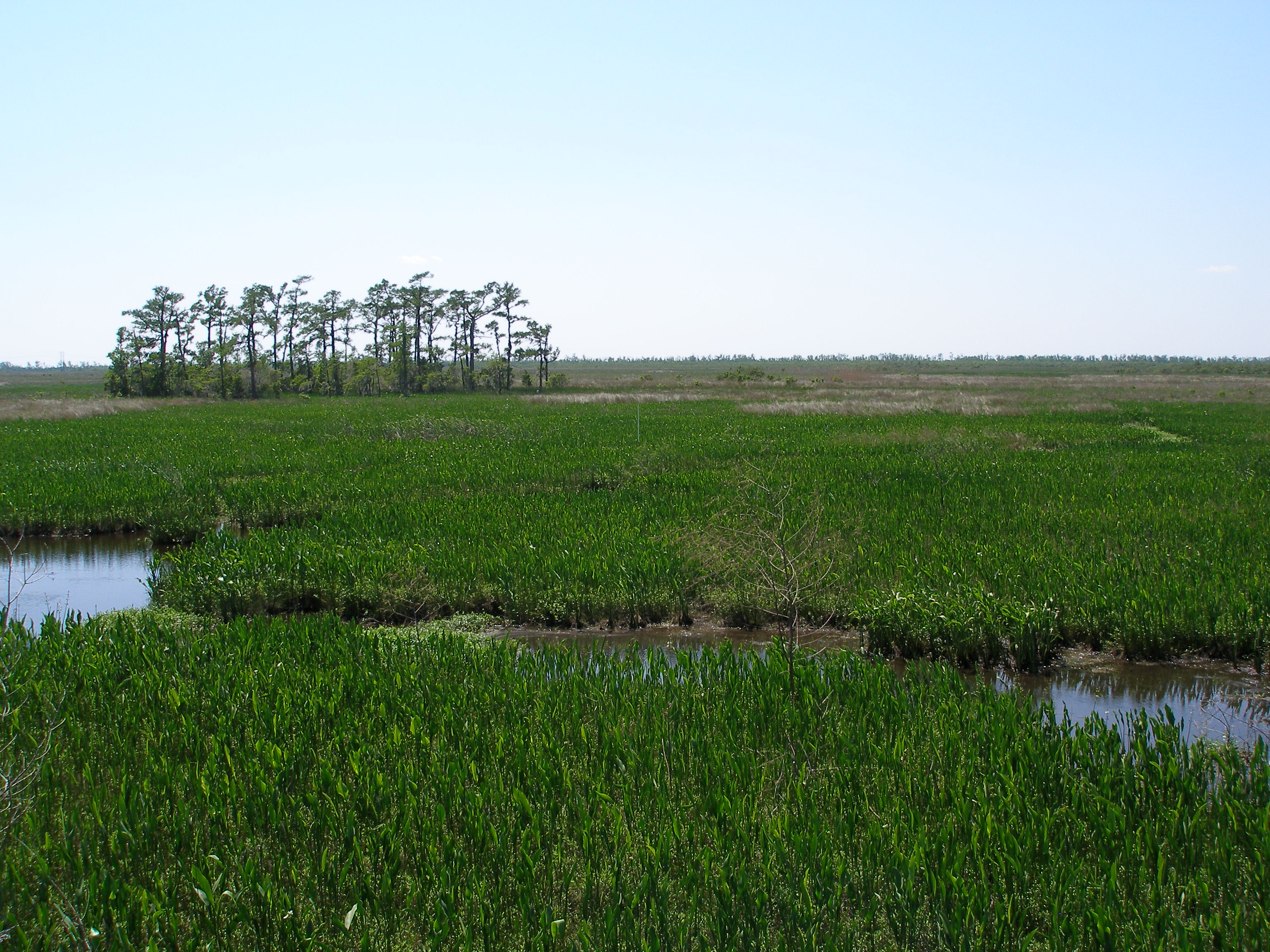
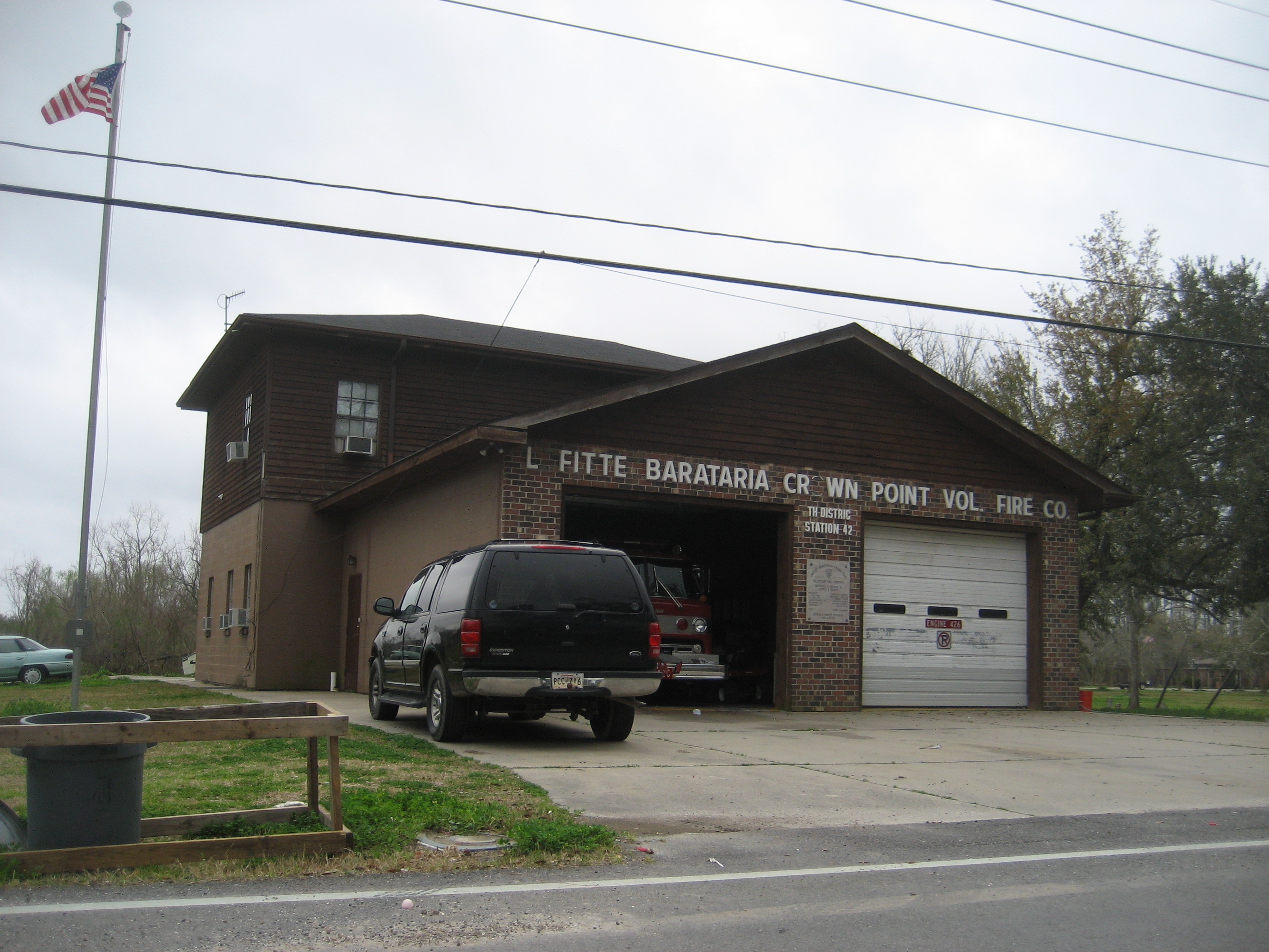
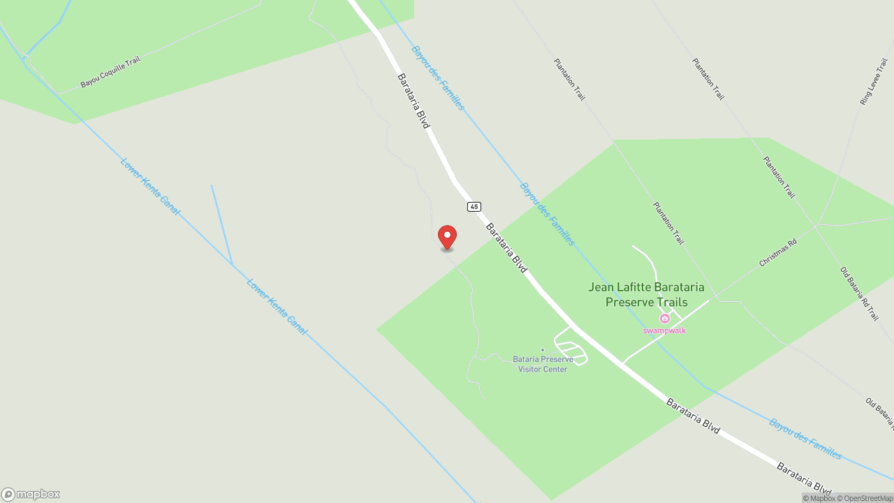
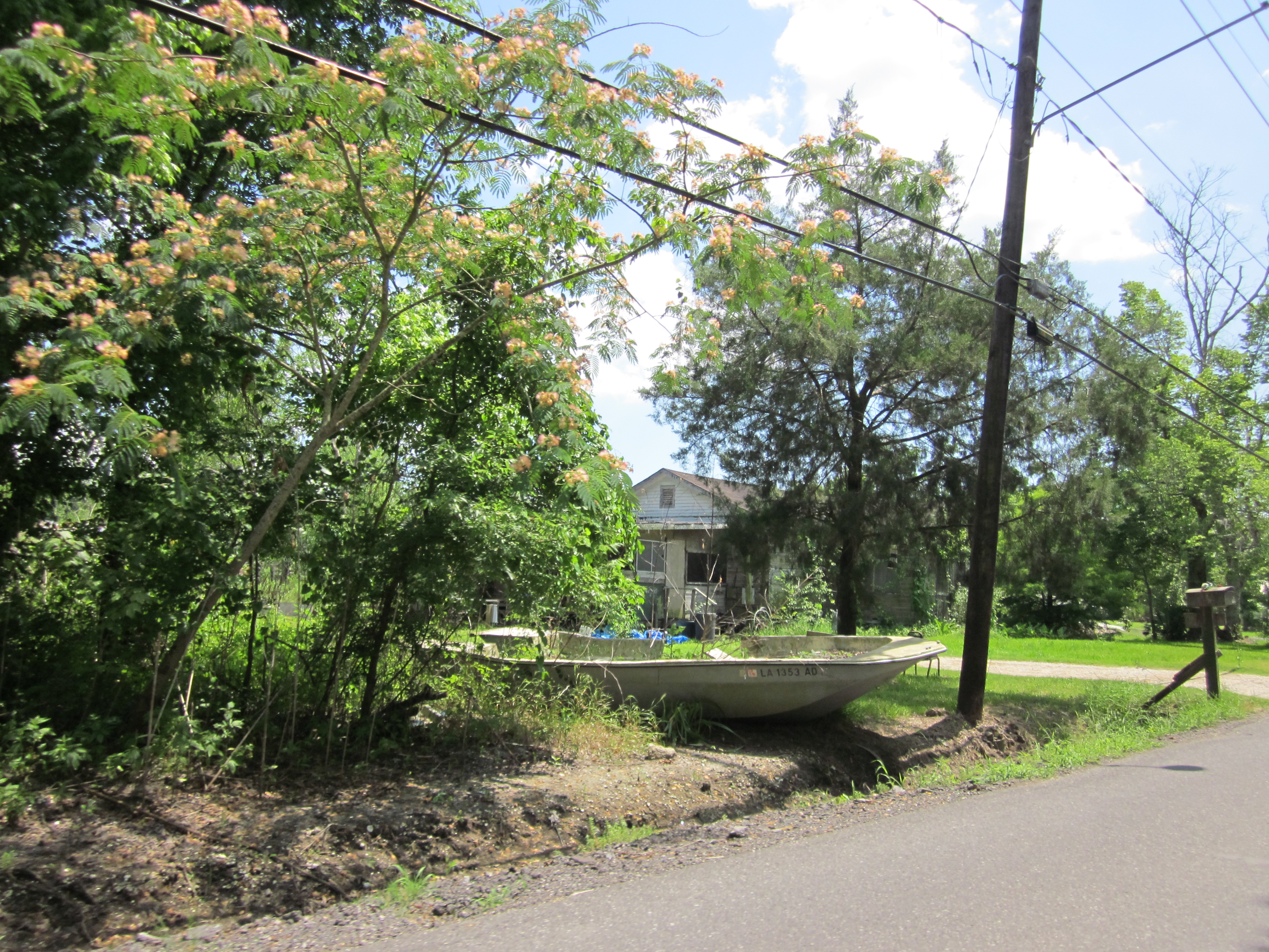
Bayou Barataria runs south from Crown Point through the heart of the Barataria basin to the Gulf, carrying the same water Jean Lafitte's smugglers ran, the same water French colonists fished, the same water modern shrimpers work today. The surrounding wetlands are among the richest in North America—still thick enough with life to support commercial shrimping, crabbing, and oystering operations that share the waterway with oil and gas infrastructure and fishing camps built on pilings. You can launch a boat, paddle or motor, from Crown Point or Jean Lafitte and follow the bayou south toward Barataria Bay. What you'll see is a working landscape: nets drying, derricks rising, camps weathered gray by salt air, and an abundance of birds that suggests what "rich wetland" means when the term isn't decorative. The bayou system is losing land to coastal erosion at alarming rates. This is not a static place. What holds now may not hold. Go while the waterway still connects what it connected.
- ·The central waterway of the Barataria basin in south Jefferson Parish.
- ·Used by Jean Lafitte's smugglers, French colonists, and modern fishermen.
- ·Flows south from Crown Point to Barataria Bay and the Gulf.
- ·The surrounding wetlands are among the richest in North America.
- ·Commercial shrimping, crabbing, and oystering still operate on the bayou.
- ·Oil and gas infrastructure is visible alongside fishing camps.
- ·Paddling and motorized boat access from Crown Point and Jean Lafitte.
- ·The bayou system is losing land to coastal erosion at alarming rates.
Memories
Nearby

Editorial content compiled with AI assistance. Place details verified against public records.