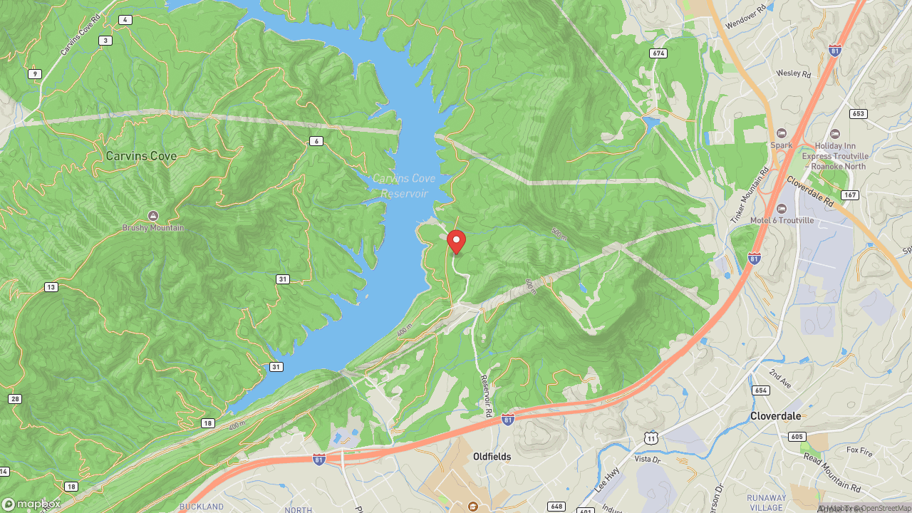
A mile-long ridgeline at 3,000 feet with 270-degree views of the Catawba Valley — one leg of the Virginia Triple Crown alongside McAfee Knob and Dragon's Tooth. The 4-mile out-and-back from Scorched Earth Gap on the Appalachian Trail draws a fraction of McAfee's traffic for the same scope of view. Roanoke sits in the valley below, a city that exists because of location. The Great Wagon Road and Carolina Road — colonial routes that developed from Native American trails — once intersected near what would become downtown. Scotch-Irish settlers arrived in the 18th century following the Plantation of Ulster, then Germans came south from Pennsylvania along those same roads. In 1882, the Norfolk and Western Railway chose the small town of Big Lick as its headquarters. Within two years the town had become the City of Roanoke; in the 1880s alone, the population grew by 22 times. Now the city markets what the railroad couldn't ship: the Blue Ridge itself. The cliff face catches afternoon light — visit late for photography. Trailhead on Route 779, Catawba Valley Drive. Free parking.
- ·A mile-long ridgeline at 3,000 feet with 270-degree views of the Catawba Valley.
- ·One leg of the Virginia Triple Crown alongside McAfee Knob and Dragon's Tooth.
- ·The 4-mile out-and-back from Scorched Earth Gap on the AT is less crowded than McAfee.
- ·The cliff face catches afternoon light — best visited in late afternoon for photography.
- ·Trailhead on Route 779 (Catawba Valley Drive). Free parking.
Memories
Nearby


Editorial content compiled with AI assistance. Place details verified against public records.