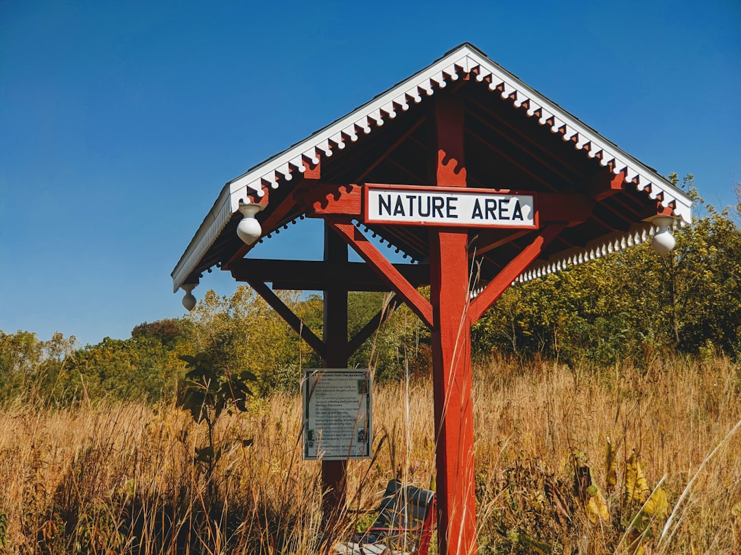
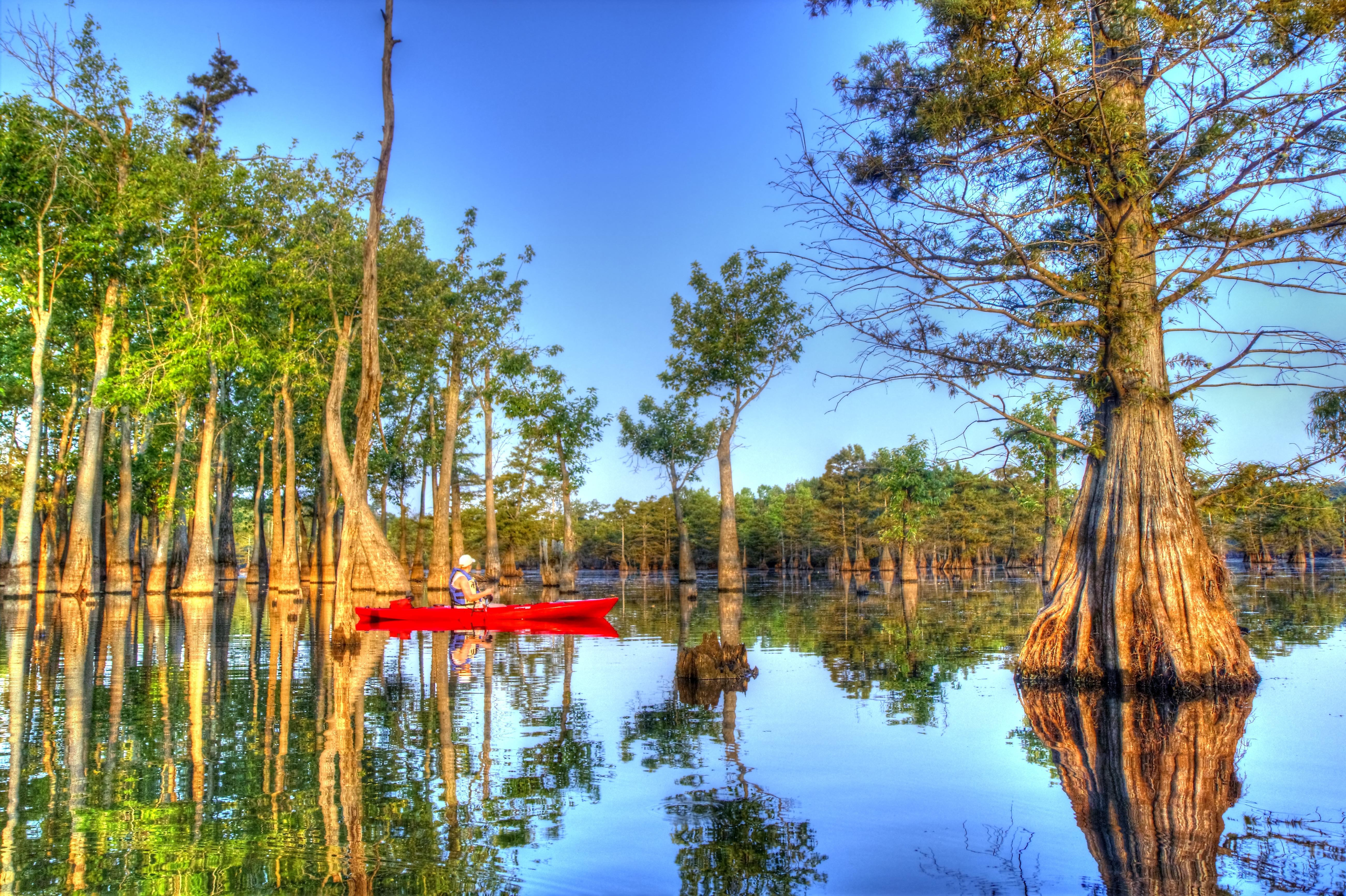
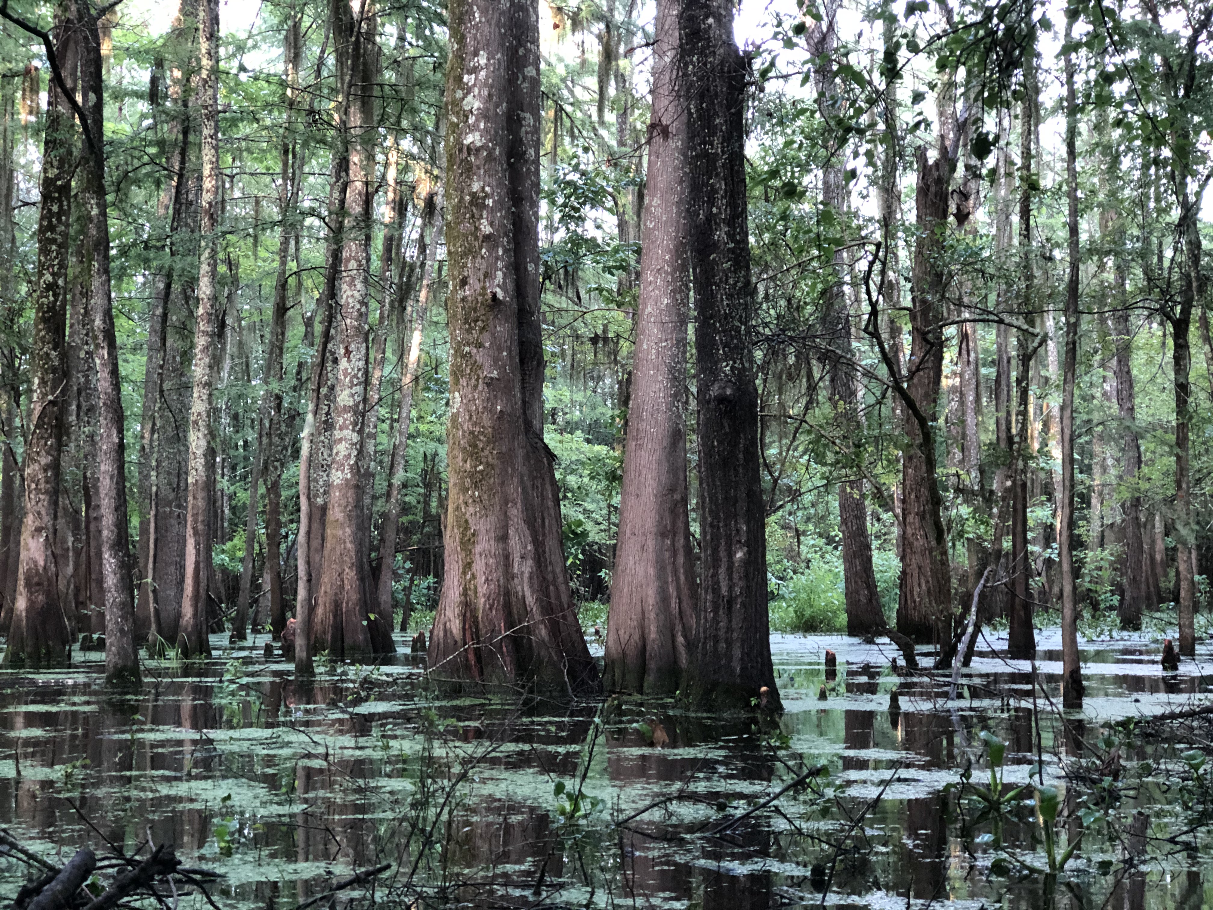
Bottomland hardwood and cypress swamp, nearly 20,000 acres of it, built to flood. The refuge was established in 1975 to protect these wetland forests and provide wintering habitat for migratory waterfowl, but the deeper function is overflow. In years of normal or above rainfall, up to 87% of the refuge goes underwater — high water usually arrives between January and May, when the Ouachita River basin needs somewhere to go. The flooded forest reduces damage downstream in developed areas, filters silt and pollutants, and recharges aquifers. This is working land in the old sense: land that earns its keep by taking punishment. Thirteen miles of Bayou D'Arbonne bisect the refuge near the bayou's confluence with the Ouachita River. The bayou is part of the Louisiana Scenic Rivers System. Creeks, sloughs, and oxbow lakes crisscross the interior. The American alligator, Rafinesque's big-eared bat, the bald eagle, and the red-cockaded woodpecker live here. Over 230 bird species have been documented. The refuge lies north of West Monroe in Ouachita and Union Parishes, on the western edge of the Mississippi River alluvial valley. D'Arbonne is one of four refuges managed in the North Louisiana Refuges Complex. No camping is allowed on the refuge — Lake D'Arbonne State Park has sites nearby. You come here to see what a functional floodplain looks like when you let it work.
- ·Nearly 20,000 acres of forest and swamp
- ·Established 1975 for migratory waterfowl habitat
- ·13 miles of Bayou D'Arbonne — Louisiana Scenic Rivers System
- ·Up to 87% floods annually for natural ecosystem function
- ·Over 230 bird species documented
Memories
Nearby

Editorial content compiled with AI assistance. Place details verified against public records.