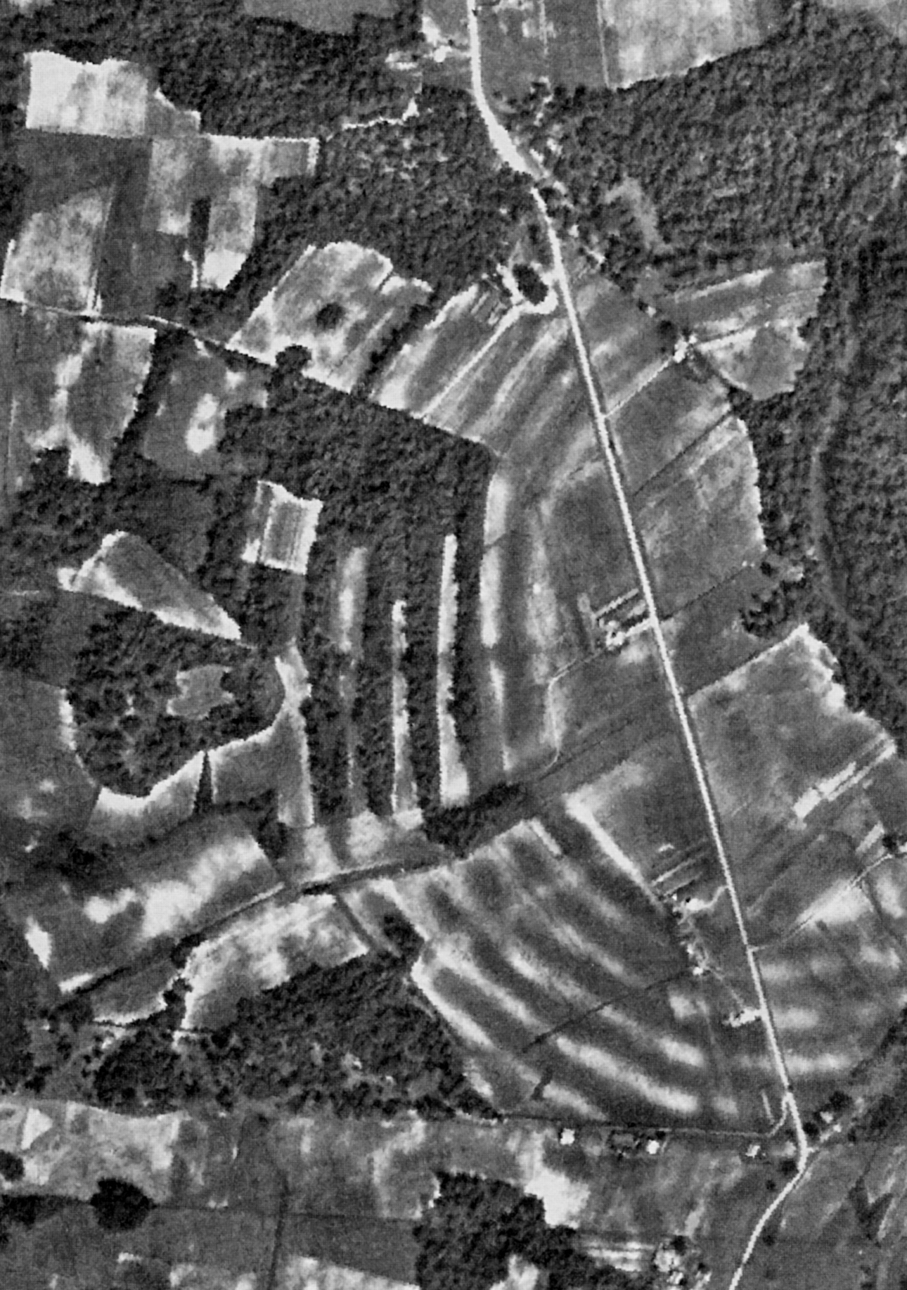
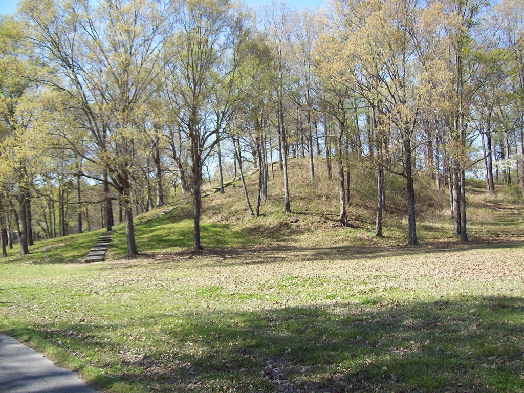
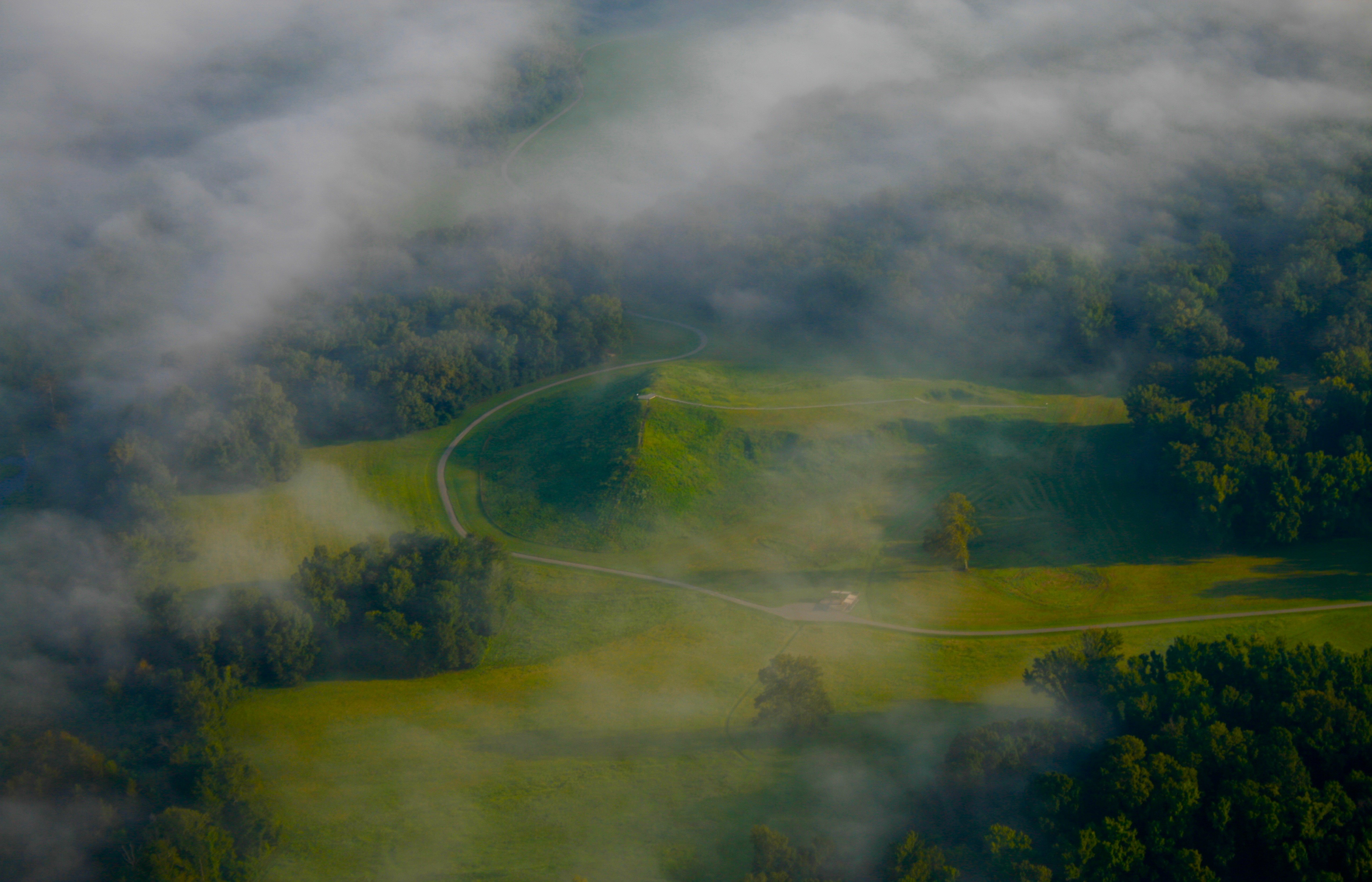
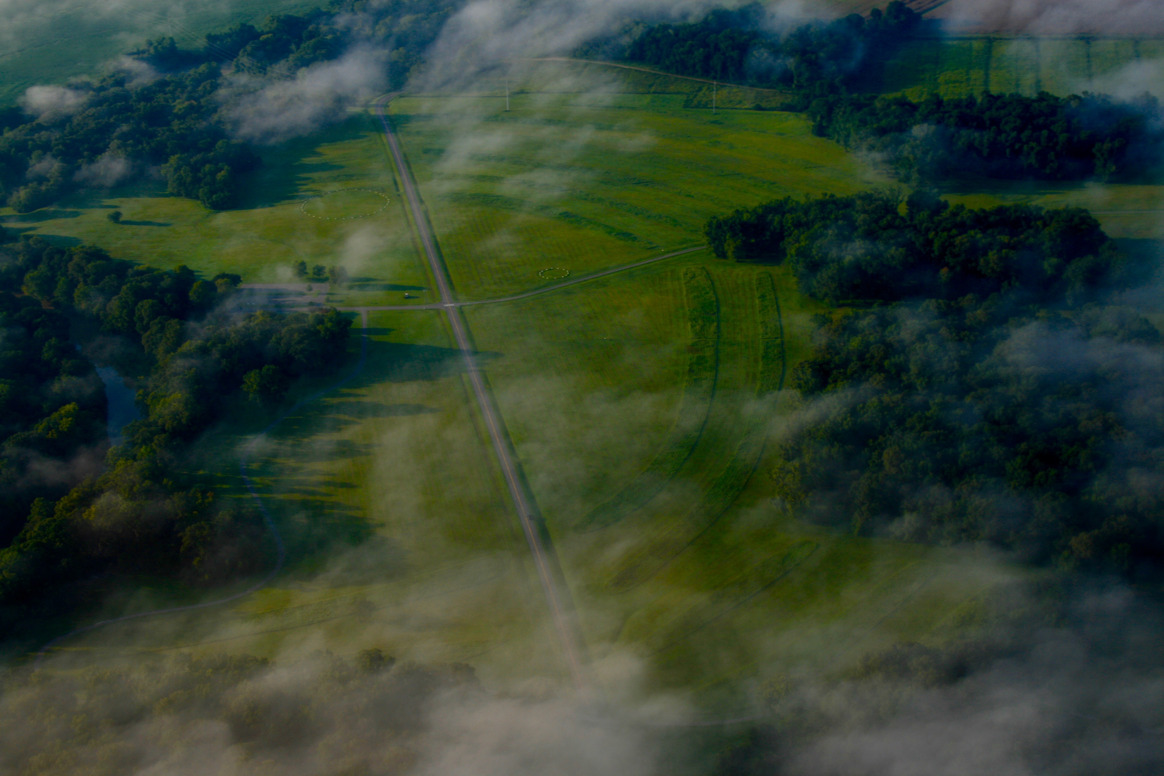
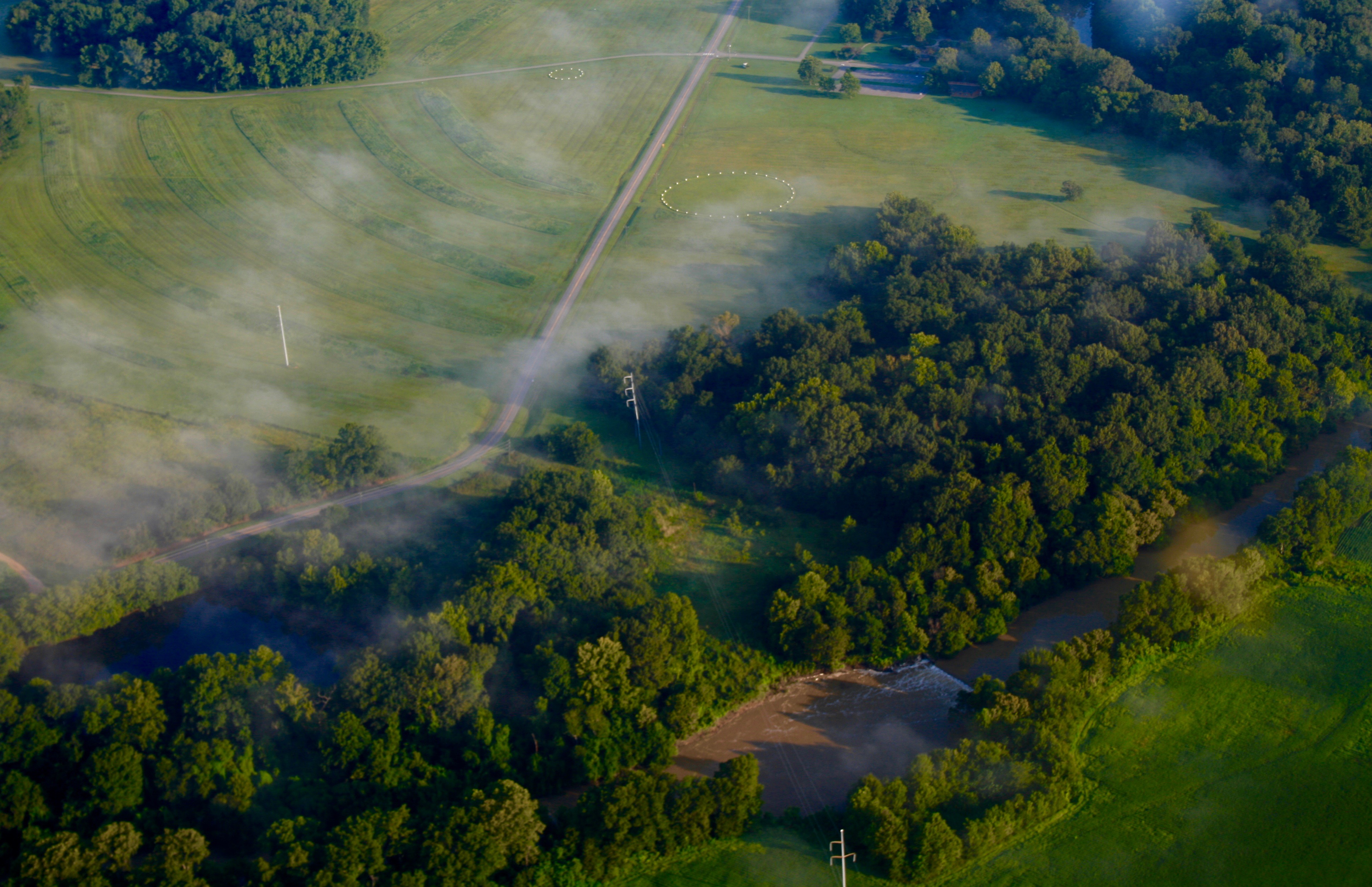
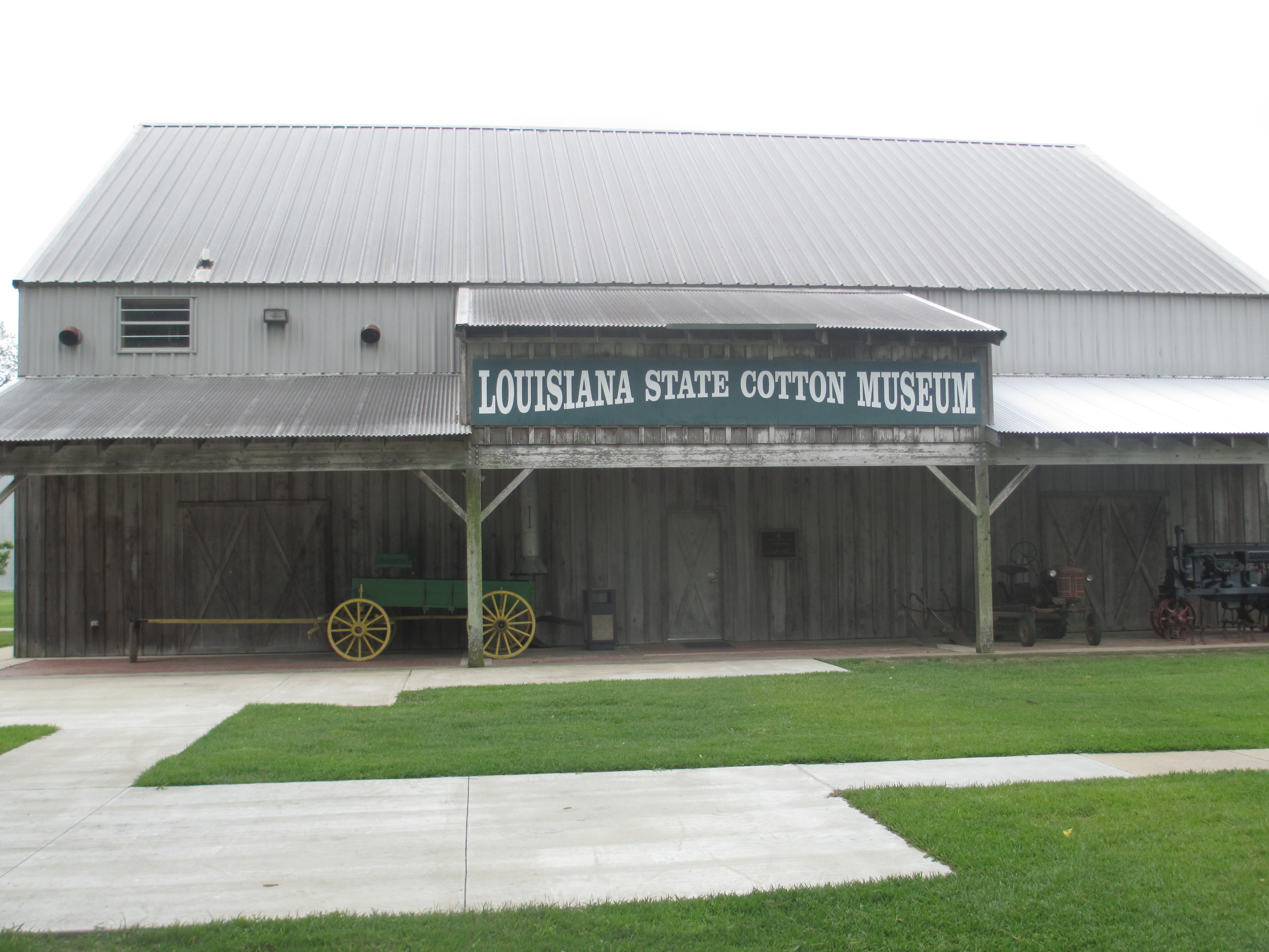
Before the Parthenon, before Rome, before pyramids rose in Mesoamerica, hunter-gatherers on a Mississippi River terrace were engineering earthworks that required moving 750,000 cubic yards of soil—basket by basket, without metal tools, without draft animals, without wheels. Poverty Point is 3,400 years old, and it breaks the script archaeologists once assumed about who builds monuments at scale. The people who raised these ridges didn't farm. They fished the bayous, gathered nuts and berries, hunted deer, and somehow coordinated a multi-generational construction project that shaped a landscape still visible from aerial photographs today. The site's core is six concentric C-shaped ridges, their arcs opening east toward the Mississippi floodplain. Each ridge is separated by a shallow swale; the outermost ring measures three-quarters of a mile in diameter. Radiocarbon dates place most construction between 1600 and 1300 BCE. Researchers believe the ridges were higher once—agricultural plowing wore them down over 150 years—but even now they stretch across 345 acres, divided by four aisles that carve the earthwork into sectors. Within the innermost ridge lies a 37.5-acre plaza, not naturally flat but engineered: soil was added in places to raise the ground surface by more than three feet, and geophysical surveys revealed rings of wooden posts up to 206 feet in diameter embedded in the southern half. Mound A anchors the western edge—a T-shaped platform 72 feet tall and roughly 705 by 660 feet at its base, making it the second-largest earthen mound by volume in eastern North America. Only Monks Mound at Cahokia, built nearly two millennia later by the Mississippian culture, exceeds it. Researchers determined Mound A went up fast: the vegetation covering its footprint was burned, then immediately sealed with silt, then buried under 8.4 million cubic feet of loess in a single massive push lasting less than three months. No construction phases, no weathering layers—just an unbroken effort that required coordination on a scale hunter-gatherer societies weren't supposed to achieve. Five more mounds dot the complex, each with its own construction story. Mound B, the earliest, dates to sometime after 1700 BCE and was built in stages—charcoal, fire pits, and basket impressions preserved in the fill. Mound C sits inside the plaza near the edge of Macon Ridge, composed of thin layers added over time. Mound E, a flat-topped rectangle with a ramp extending from its northeast corner, yielded novaculite and other nonlocal chert in its fill—stones traded from the Ouachita and Ozark mountains, from the Ohio and Tennessee river valleys, evidence of a network that stretched across the Eastern Woodlands. A sixth mound was discovered in 2013; radiocarbon dates indicate it was the last Archaic-period addition, built sometime after 1280 BCE. The people who built Poverty Point left no writing, so their purposes remain speculative. Postholes, hearths, and earth ovens on the ridges suggest habitation—though whether year-round settlement or periodic gathering remains unresolved. Most artifacts are small baked loess objects, found in a wide variety of forms and used, based on experimental archaeology, in earth ovens for cooking. Stone tools were manufactured on-site—debris from the process scatters across the ridges—but the raw materials came from elsewhere: steatite from the Appalachian foothills, copper from the southern Appalachians, galena from Missouri and Iowa. Analysis of artifact distribution shows the earthwork's sectors were used for specialized activities: the north sector favored tool manufacturing, the south sectors tool use, the west sector lapidary work. Clay figurines appear evenly distributed, but cylindrical grooved objects—the earliest form of Poverty Point Objects—give way to biconical forms in later strata. The culture that built Poverty Point vanished. Changes in temperature, precipitation, and increased flooding may have caused an ecological imbalance that led to abandonment. By the time European explorers arrived in the 1500s, the site had been quiet for more than a millennium. In the 1830s, Jacob Walter, searching for lead ore, wrote in his diary about stumbling onto "an old Indian town" with a "mound of colossal size." By 1851, the property was known as Poverty Point Plantation—a 19th-century slave operation whose name stuck to the earthworks it occupied. The first published account appeared in 1873. Systematic excavation began in 1952 with James A. Ford and Clarence Webb, and research has continued into the 21st century: geophysical surveys, soil cores, magnetic susceptibility analyses, targeted excavations of the post circles revealed in the plaza. In 1972, Louisiana purchased 400 acres of the site and opened it to the public four years later. Congress designated it a national monument in 1988. In 2014, UNESCO inscribed Poverty Point as a World Heritage Site—the first in Louisiana, the 22nd in the United States, and the only pre-Columbian earthwork complex in North America to earn the designation. A museum interprets the artifacts and construction sequences. An observation tower offers a vantage on the ridges' geometry—the scale so massive that the C-shaped design wasn't recognized until researchers examined aerial photographs. Tram tours cross the plaza and climb Mound A, open daily except Thanksgiving, Christmas, and New Year's Day.
- ·3,400 years old—older than the Parthenon
- ·750,000 cubic yards of earth moved by hand
- ·UNESCO World Heritage Site since 2014
- ·Largest pre-Columbian earthwork in North America
- ·Museum, observation tower, and tram tours on site
- ·Open daily except Thanksgiving, Christmas, and New Year's Day
- ·Located near Pioneer, LA in West Carroll Parish
More archive

Memories
Nearby
Editorial content compiled with AI assistance. Place details verified against public records.