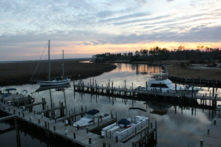
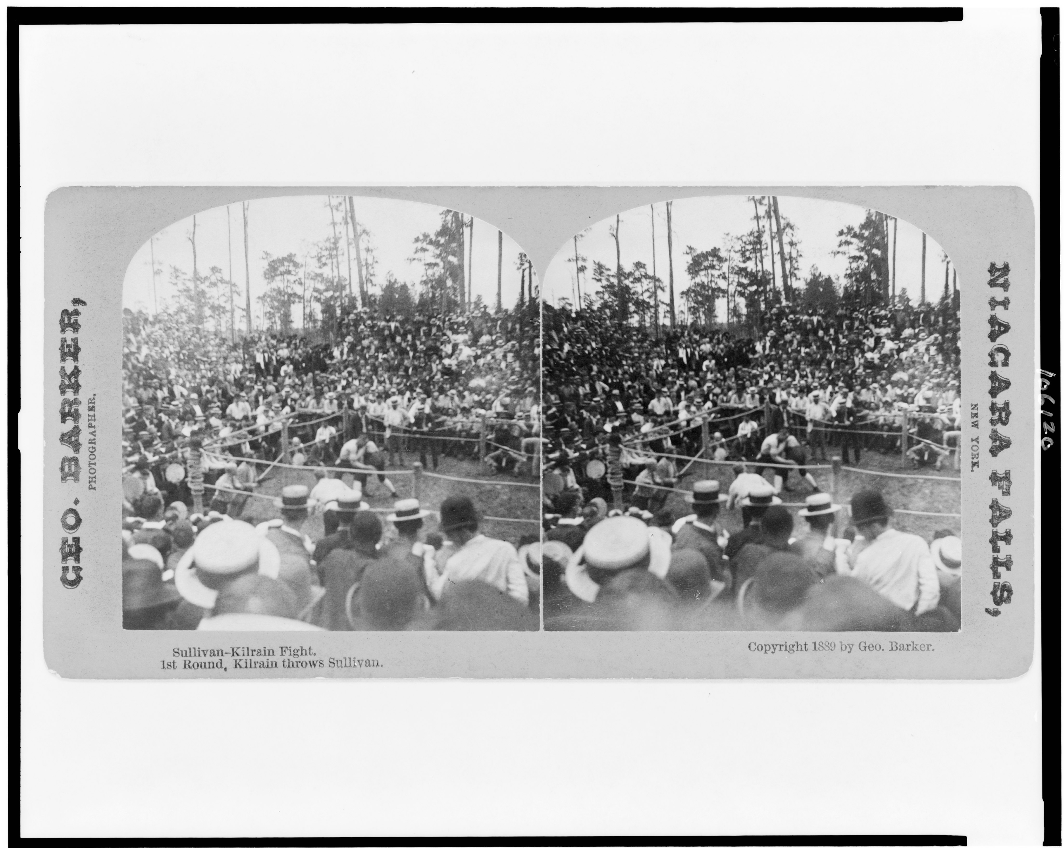
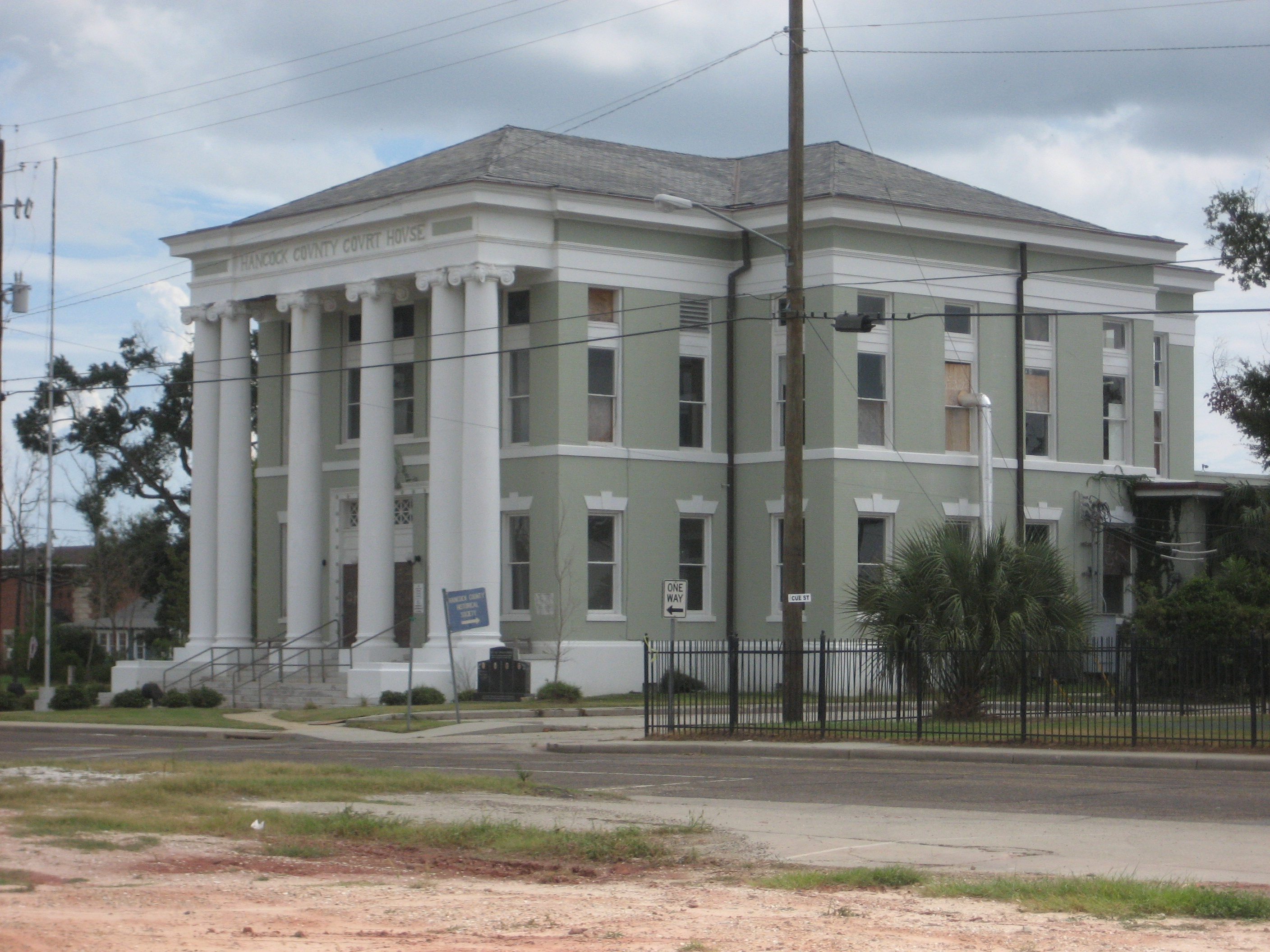
On August 18, 1969, the investment team behind what would become Diamondhead was scheduled to close on 6,000 acres of Mississippi pine forest. That was the day after Hurricane Camille made landfall in Hancock County. They toured the wreckage anyway. The proposed site — at 100 feet above sea level, the highest point on the Gulf Coast in Mississippi — had taken far less damage than communities at the water. They closed the deal. The developers named the project after Diamond Head, the volcanic cone on Oahu, and built Hawaiian-style architecture into the pine country north of the Bay of Saint Louis. By October 1970, Interstate 10 had been completed to the Diamondhead exit. By June 1973, 3,700 lots had been sold and 31 homes had been constructed, with another 29 under construction. By the end of the 1970s, 6,500 of the 10,000 offered lots had been sold. Most of the early residents came from New Orleans. On August 29, 2005, Hurricane Katrina made its third landfall on the Mississippi Coast. A record storm surge of nearly 30 feet caused extensive damage. Many homes on the south side of Diamondhead, facing the Bay of Saint Louis, were badly damaged or completely destroyed. A 1,000-gallon aviation fuel tank from the airport floated onto I-10. Overnight, the population swelled from 6,500 to 9,000. The City of Diamondhead was presented its charter as the 111th city in Mississippi on February 6, 2012. The Diamondhead Shell Midden — a prehistoric archaeological site within the community — documents thousands of years of indigenous occupation before the developers arrived.
- ·Planned community built in the 1960s between Bay St. Louis and Pass Christian.
- ·Two championship 18-hole golf courses rolling into pine forests.
- ·The Diamondhead Shell Midden — a prehistoric archaeological site — documents thousands of years of indigenous occupation.
- ·Most inland and least storm-exposed community in the coastal corridor.
- ·Heavily damaged by Katrina but rebuilt.
- ·Off I-10 between Bay St. Louis and Pass Christian.
More archive

Memories
Nearby
Editorial content compiled with AI assistance. Place details verified against public records.