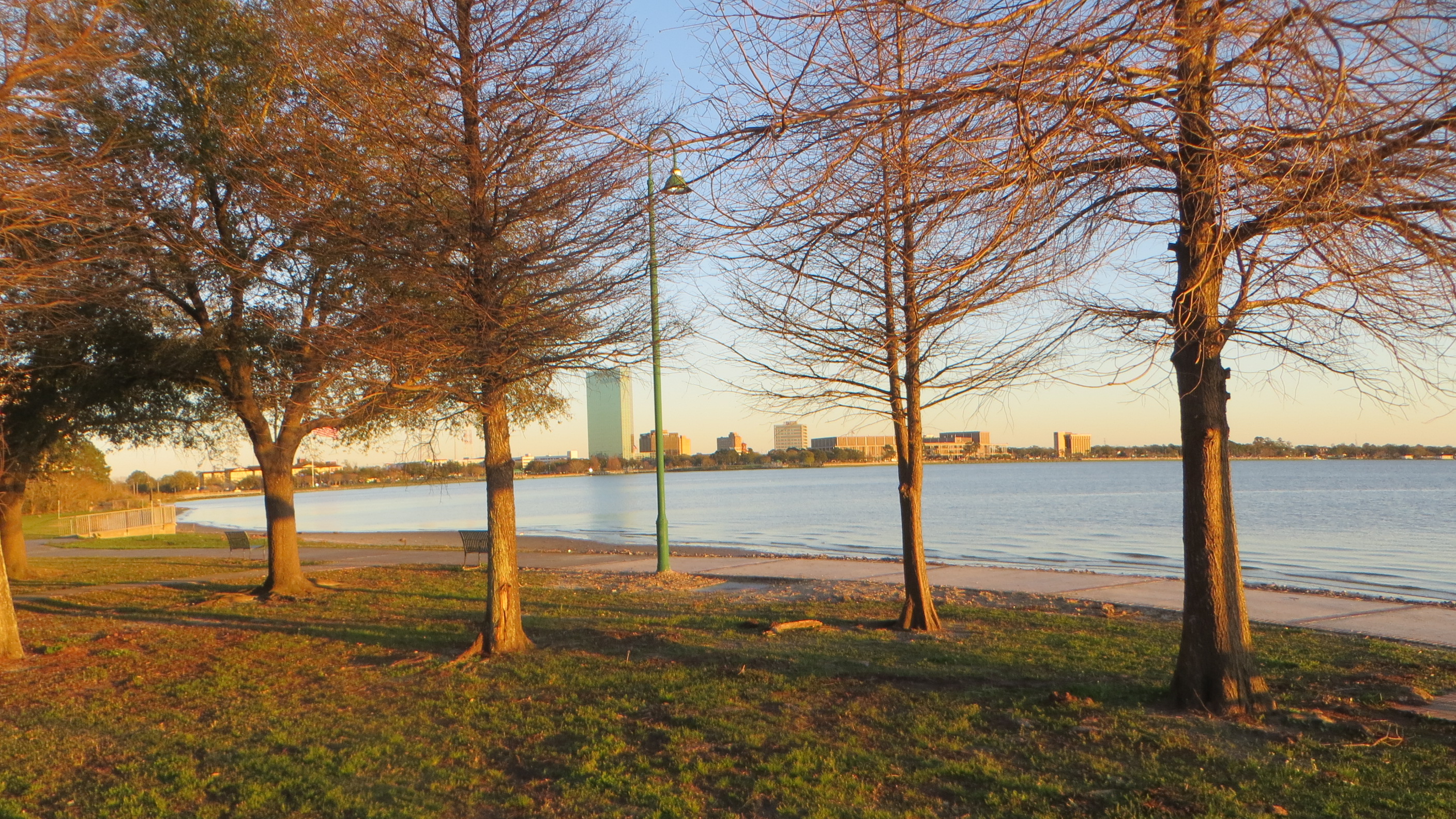
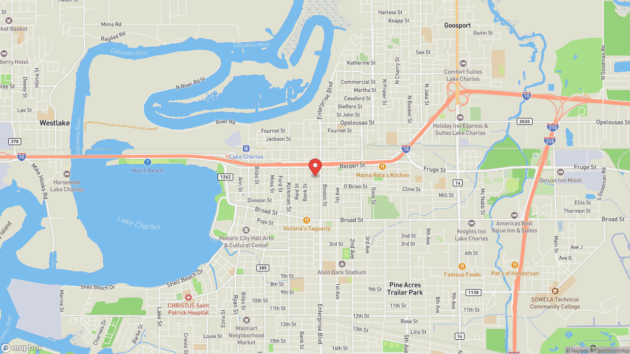
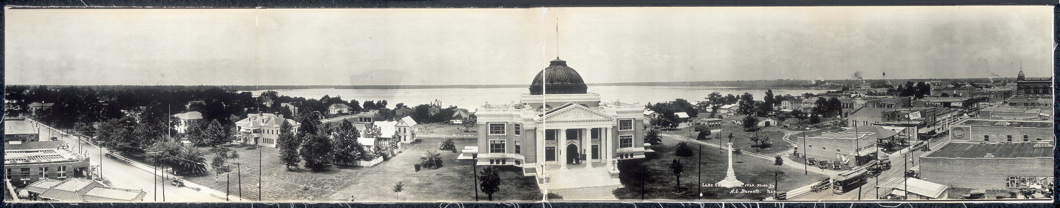
A paved path runs along the north shore of the lake that gave the city its name—incorporated first as Charleston in 1861 after early settler Charles Sallier, then reincorporated as Lake Charles in 1867. The Lakefront Promenade connects Bord du Lac Park to North Beach, open daily and free. Walk or ride a bike. The view south frames both identities: the lake itself, and across the water, the Calcasieu Ship Channel—the deep-water route that allows ocean-going vessels to sail up from the Gulf of Mexico—and the industrial corridor beyond. Petrochemical refineries arrived during and after World War II, transforming the city into a refining center. Before that, oak and pine trees dotted the landscape, and lumber was the main economic engine. Lake Charles has been battered. Hurricane Rita in 2005. Laura and Delta in 2020, when the city was described as if "20 tornadoes came in and wiped the city." Actual tornadoes in 2021 and 2024. The promenade remains, a daily-use amenity where joggers, cyclists, and walkers share the waterfront. Best at sunrise or sunset, when the light crosses the lake at an angle. The city sits on a level plain about thirty miles from the Gulf, elevation around thirteen feet—tied with Port Arthur and Astoria as the most humid city in the contiguous United States. Morning humidity averages 90 percent. The water is rarely far from anything here.
- ·Paved walking and cycling path along the north shore of Lake Charles.
- ·Views south across the lake toward the Calcasieu Ship Channel and industrial corridor.
- ·Connects to Bord du Lac Park and North Beach.
- ·Best at sunrise or sunset. Open daily, free.
Memories
Nearby
Editorial content compiled with AI assistance. Place details verified against public records.