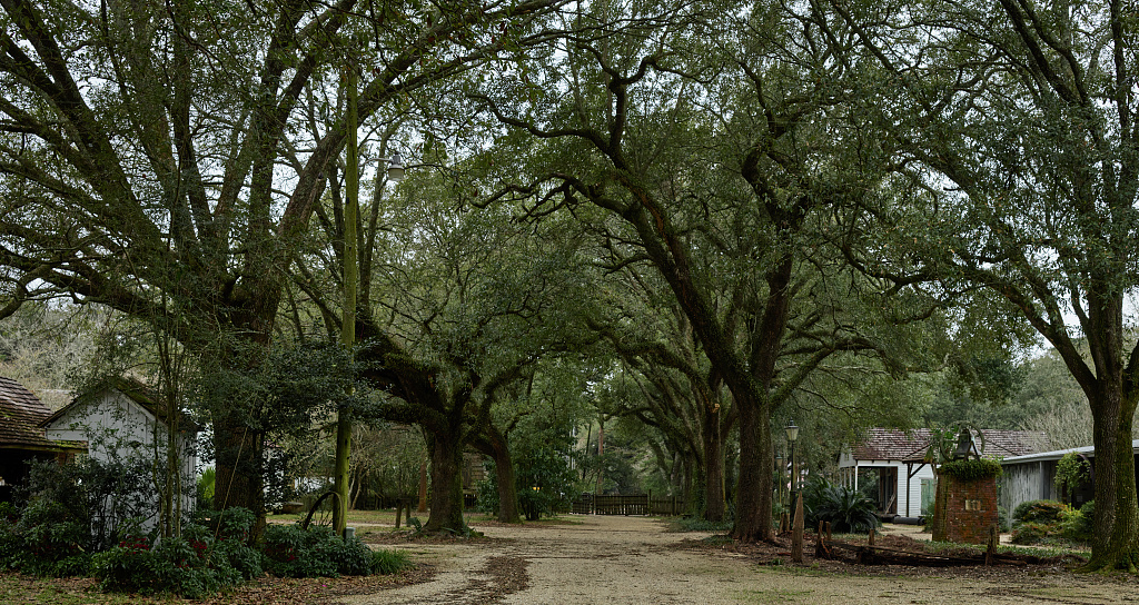
The city's name traces to a boundary marker — a red pole standing where the Mississippi bluff divided Houma hunting grounds to the south from Bayougoula territory to the north. When Iberville's French expedition came upriver in 1699, they saw it and recorded the name: *le bâton rouge*, "the red stick." A carpenter traveling with the expedition, André-Joseph Pénicaut, published the account in 1723. He wrote that the pole had been sunk there by Indigenous people to mark the territorial line, and that the French called the place by the translation of the native term *Istrouma* — possibly from Choctaw *iti humma*, "red pole." The pole itself was reportedly thirty feet high, painted red, and adorned with fish bones. It stood somewhere near what is now the campus of Southern University, along Scott's Bluff. By 1721, French colonists had established a military post at the site. The settlement grew into the city that became Louisiana's capital in 1849. The foundation story — two nations marking a boundary, a French expedition reading the marker and carrying the name forward — is the root of everything that came after. Perkins Road Community Park sits approximately where that original pole stood. A public art installation in the park commemorates the encounter. The park itself is a quiet neighborhood greenway, accessible from Perkins Road, free and open daily. You go to stand near the approximate spot where a territorial marker became the name of a city — the boundary line that French expedition members recorded and that European settlement carried forward for three centuries.
- ·The red stick that gave the city its name was a red-stained cypress pole marking indigenous territorial boundaries, encountered by Iberville's expedition in 1699.
- ·The boundary marker separated Houma territory to the south from Bayougoula territory to the north.
- ·A public art installation in the park commemorates the encounter that named the city.
- ·The park sits approximately where the original boundary marker once stood along the Mississippi bluff.
- ·Quiet neighborhood greenway accessible from Perkins Road. Free and open daily.
Memories
Nearby

Editorial content compiled with AI assistance. Place details verified against public records.