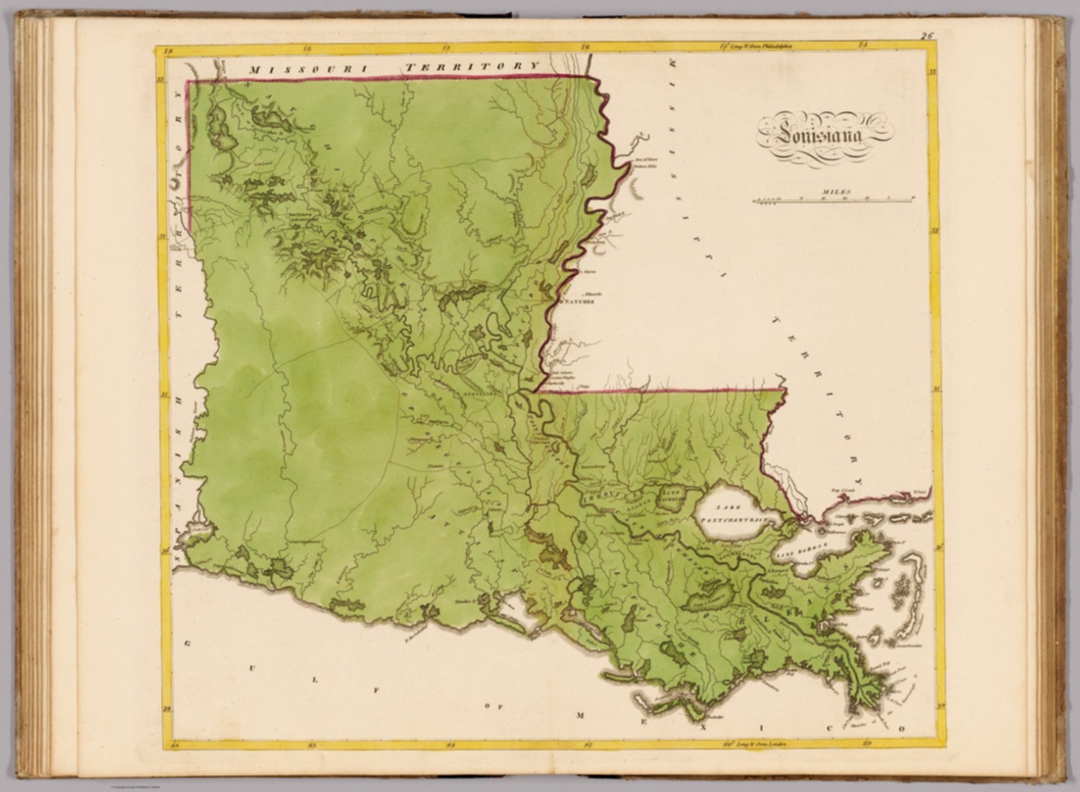
Under-the-Hill was the vice district at the river landing — gambling, brothels, flatboat crews drinking off whatever they had just hauled down — and the bluff above it was the polite city that pretended not to know. The 444-mile Natchez Trace begins here, following a footpath the Natchez and Chickasaw walked for centuries before Kaintuck boatmen used it to walk home with the flatboat money. Mount Locust, 1780, is the only surviving Trace stand. Gloucester housed Winthrop Sargent, first territorial governor, after 1803. Washington was the territorial capital until 1802, when it moved to Natchez. The Trace built all of it.
The route
 1Nature & Parks·pre-Columbian / operating·NRHPNatchez Trace Parkway Terminus
Stand at the corner of Liberty Road where the milepost zero marker meets interpretive panels, and you're standing at the end of something older than the republic. The Natchez Trace Parkway runs 444 miles north to Nashville with no stoplights and no commercial traffic — a National Park Service road since 1938 following what began as a buffalo trace between the salt deposits of the Cumberland Plateau and the grazing pastures of central Mississippi. The Choctaw and Chickasaw improved it for foot-borne commerce between villages. By the time European settlement reached the lower Mississippi, it was the fastest means of communication between the Cumberland Plateau and the Gulf settlements. Natchez became the southern anchor because of what happened here after the flatboats arrived. Men built boats upstream, loaded them with cargo and with enslaved people, and drifted the current south to Natchez or New Orleans. They sold everything, including the salvageable logs, then walked home via the Trace. Natchez was where river commerce stopped and the overland return began — the hinge between float and footpath. The city's bluff location made it a center of trade for two centuries, and the most prevalent slave trading city in Mississippi in the decades before the Civil War. The Trace was how the profits walked back north. President Roosevelt signed the parkway into law on May 18, 1938. Construction began in 1939. The final two segments opened on May 21, 2005. The road is free, open 24 hours, and designated an All-American Road. Long-distance cyclists favor it. The speed limit is 50 miles per hour except where posted lower. You're here because this is where it starts — where the path that bison beat became the route that built a city, then became the road that remembers both.
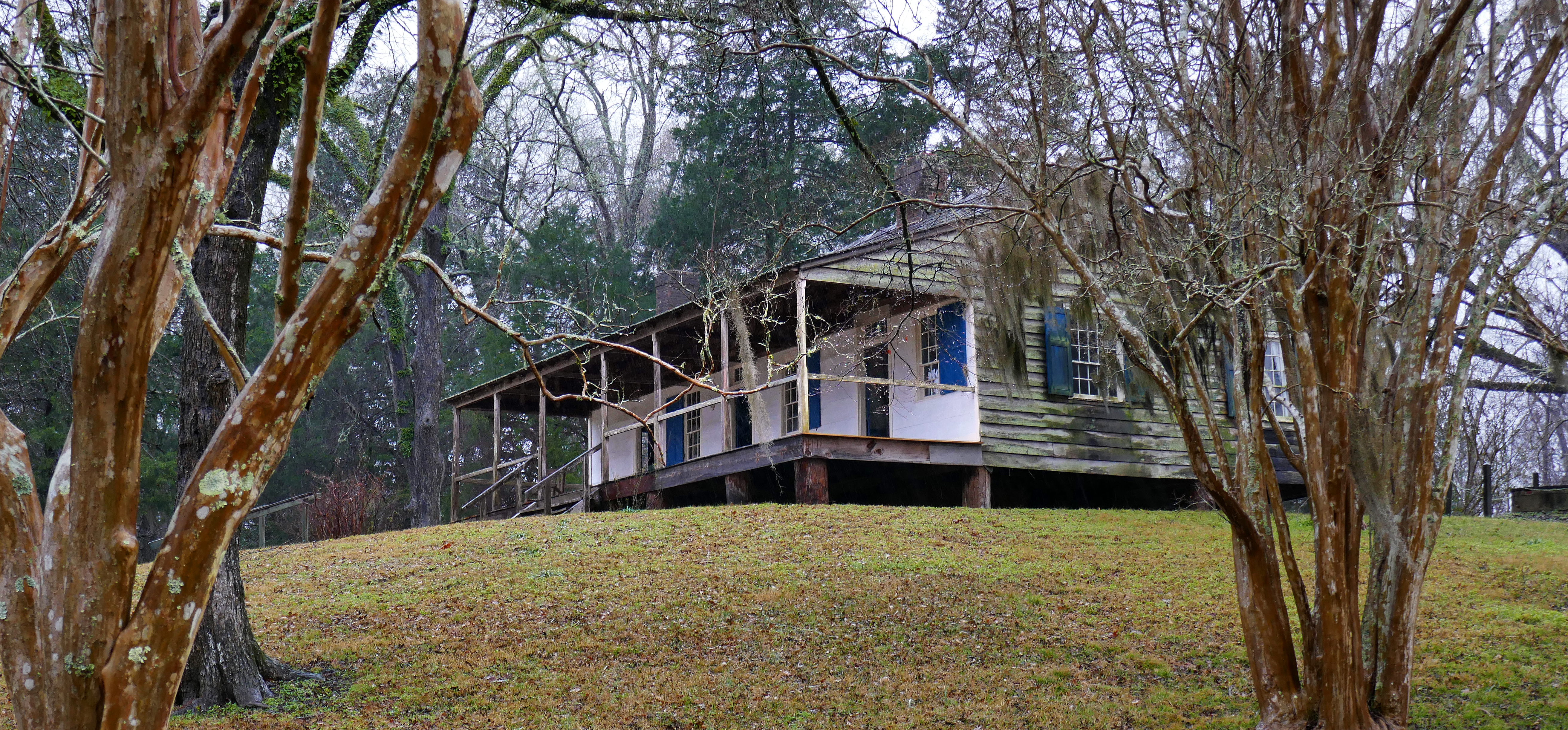 2Historic Site·1780·NRHPMount Locust — Natchez Trace Milepost 15.5
Over fifty stands once lined the Trace when traffic peaked around 1810. Mount Locust, opened circa 1780, is the only one left that you can walk into. The route itself started as bison traces between grazing pastures of central Mississippi and salt deposits of the Cumberland Plateau. Native Americans followed the game trails and improved them for foot commerce between villages. By the time Europeans arrived, the Trace had become the fastest overland link between the Cumberland Plateau, the Mississippi River, and the Gulf settlements. After the Revolution, Americans built flatboats, loaded them with goods, and drifted down the Ohio and Mississippi to sell everything in New Orleans — including the salvageable logs and enslaved people. Then they walked home. The Trace was the middle section of that return trip, stretching as far north as Pittsburgh. Steamboats, stagecoach lines, and railroads killed the route. No major cities grew along it between Nashville and Natchez because better transportation axes pulled development elsewhere. That's why the Trace survived almost entirely undeveloped — and why Mount Locust stands alone. NPS rangers interpret the inn, the family cemetery, and a section of the original sunken Trace visible in the woods behind the building. Milepost 15.5, about fifteen minutes north of Natchez. Free. Open daily 8:30am–5pm, February through November. Closed December and January.
 3Historic Site·1802–1817·NRHPHistoric Washington — Territorial Capital
Aaron Burr was arrested in Washington in 1807 after his western conspiracy collapsed — no breakaway empire, just federal custody six miles from the Mississippi River. This was not incidental geography. Washington served as capital of the Mississippi Territory from 1802 to 1817, the years when Natchez transitioned from a river town with French and Spanish roots into American political fact. The city had been Fort Rosalie in 1716, a French trading post that became the site of the 1729 Natchez Rebellion, when Natchez Indians killed 229 French colonists in the largest such attack in Mississippi's history. By the time Washington became territorial capital, that violence was memory, but the question of who governed the lower Mississippi was not yet settled. Burr's arrest made it clear. Jefferson College, chartered in 1802, was the first educational institution in the Mississippi Territory. The Mississippi Department of Archives and History now operates Historic Washington as a village with restored territorial-era buildings. Open Tuesday through Saturday, 9am to 5pm, six miles east of downtown Natchez on US-61. Modest admission. You go to see what a territorial capital looked like before statehood, when the outcome was not guaranteed.