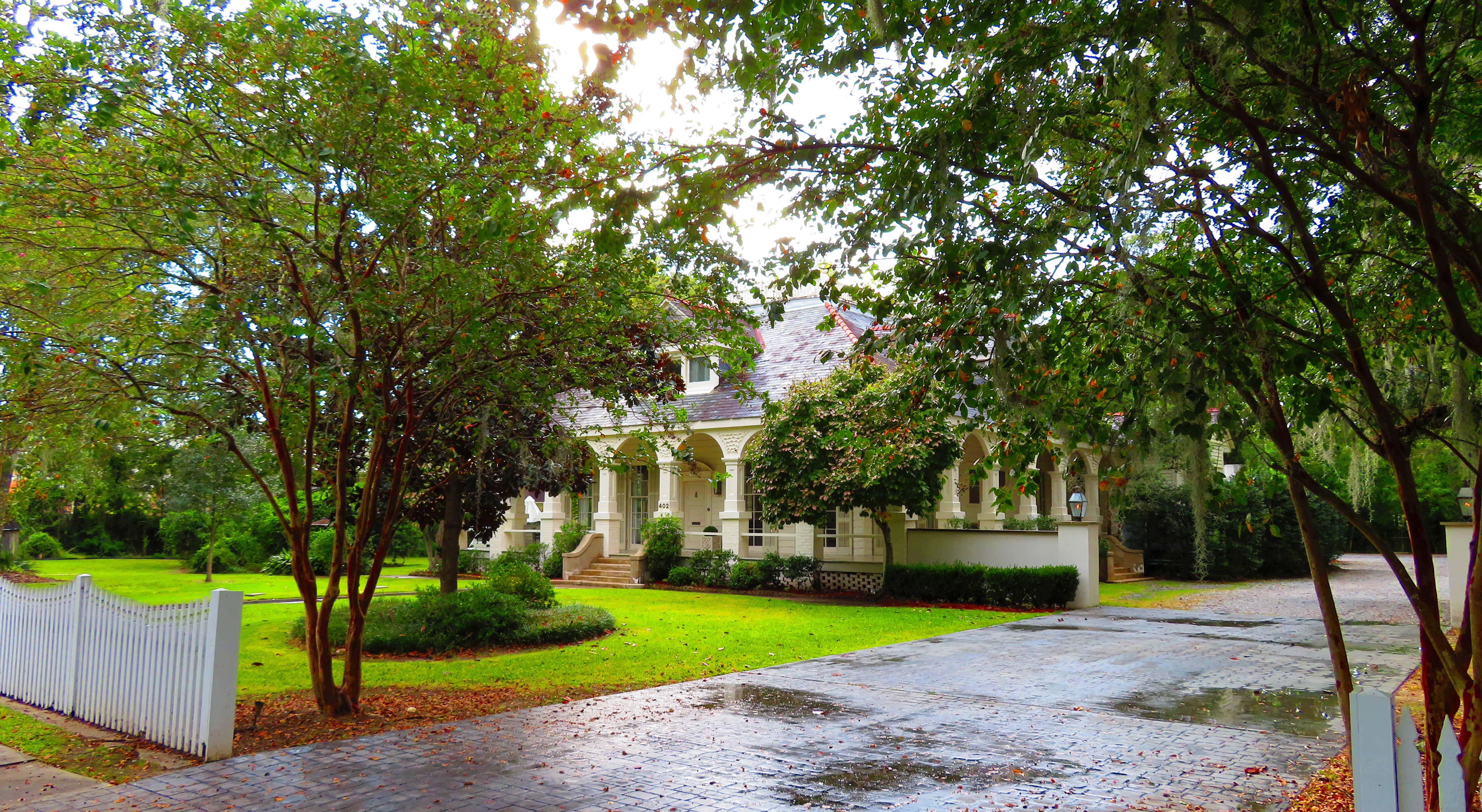
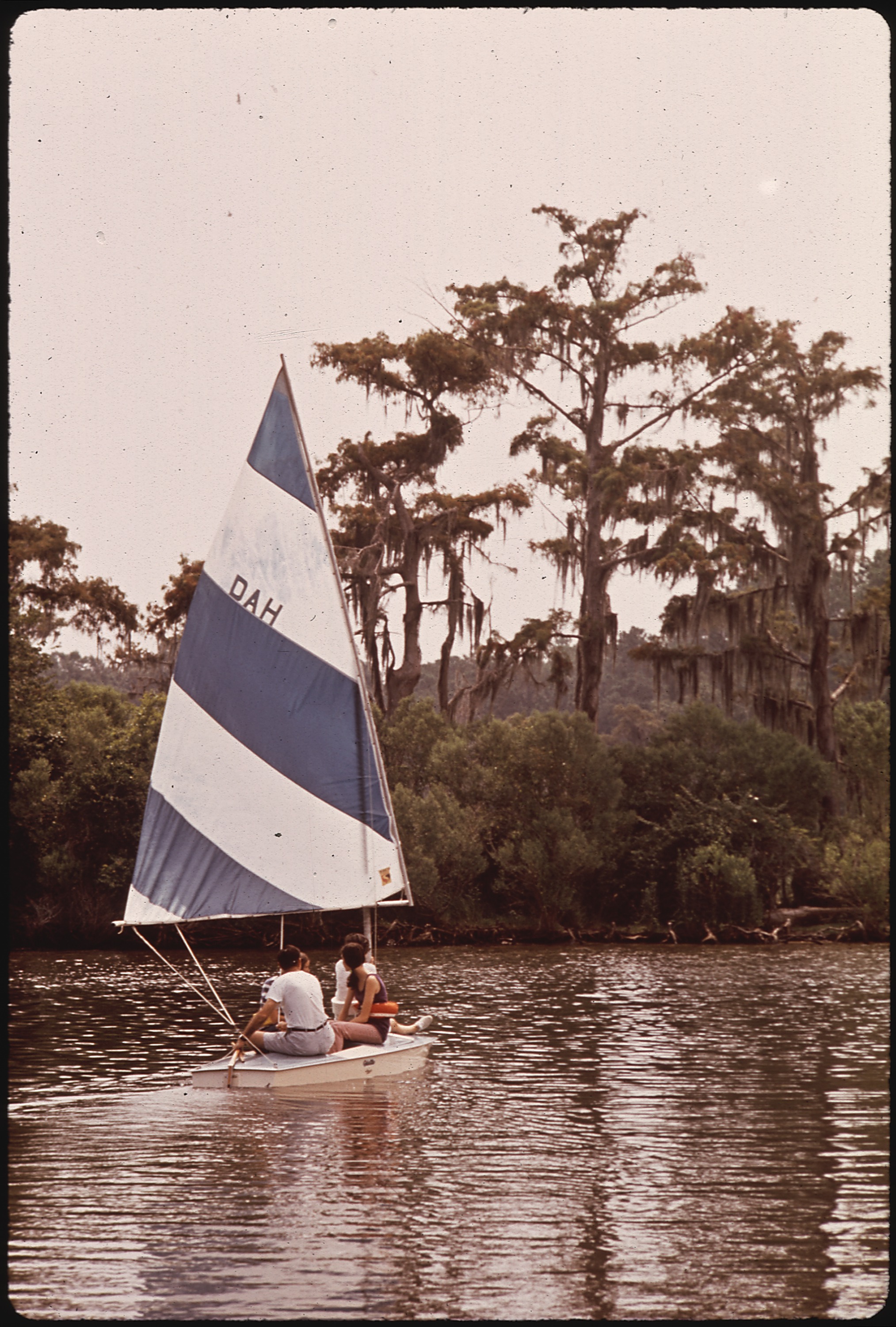
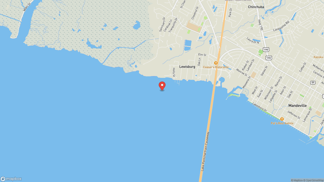
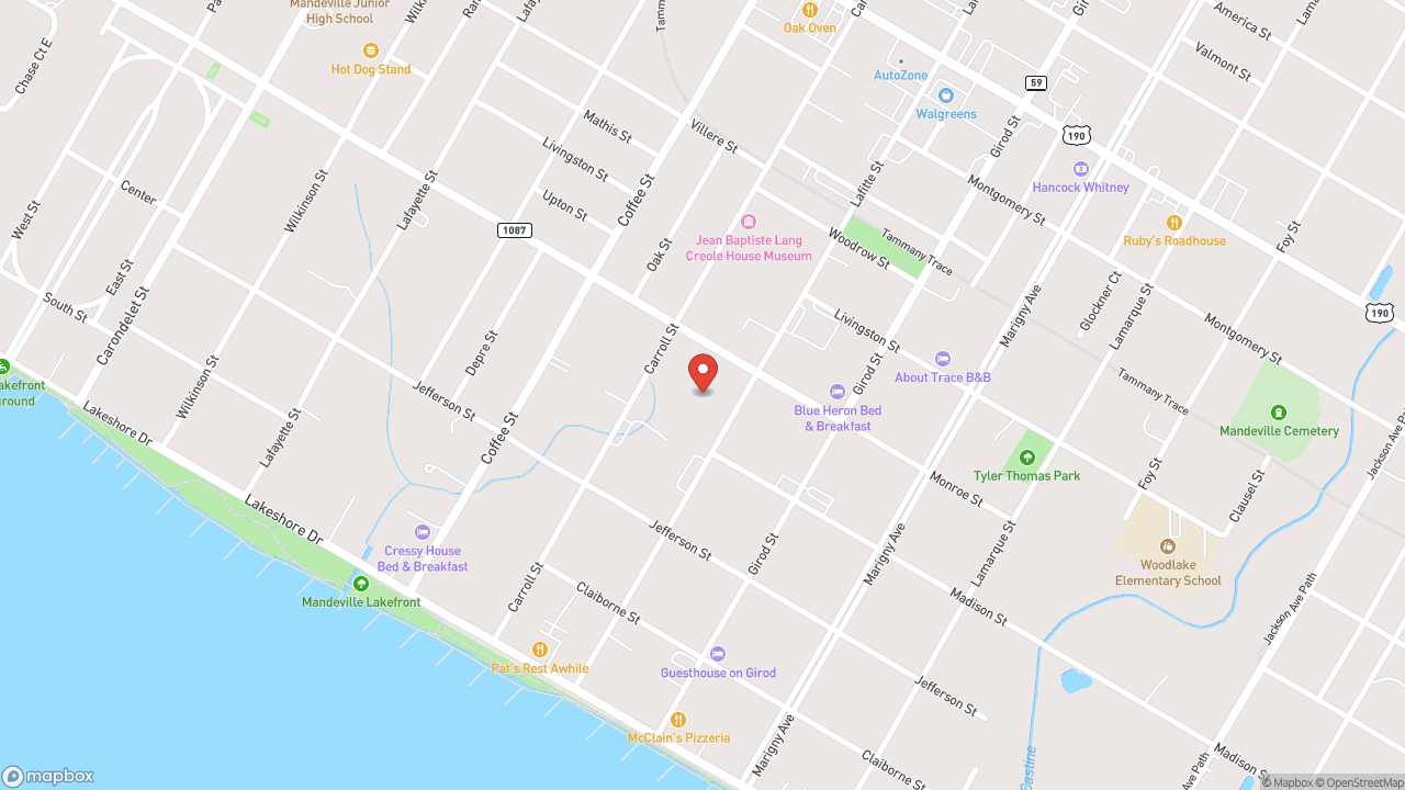
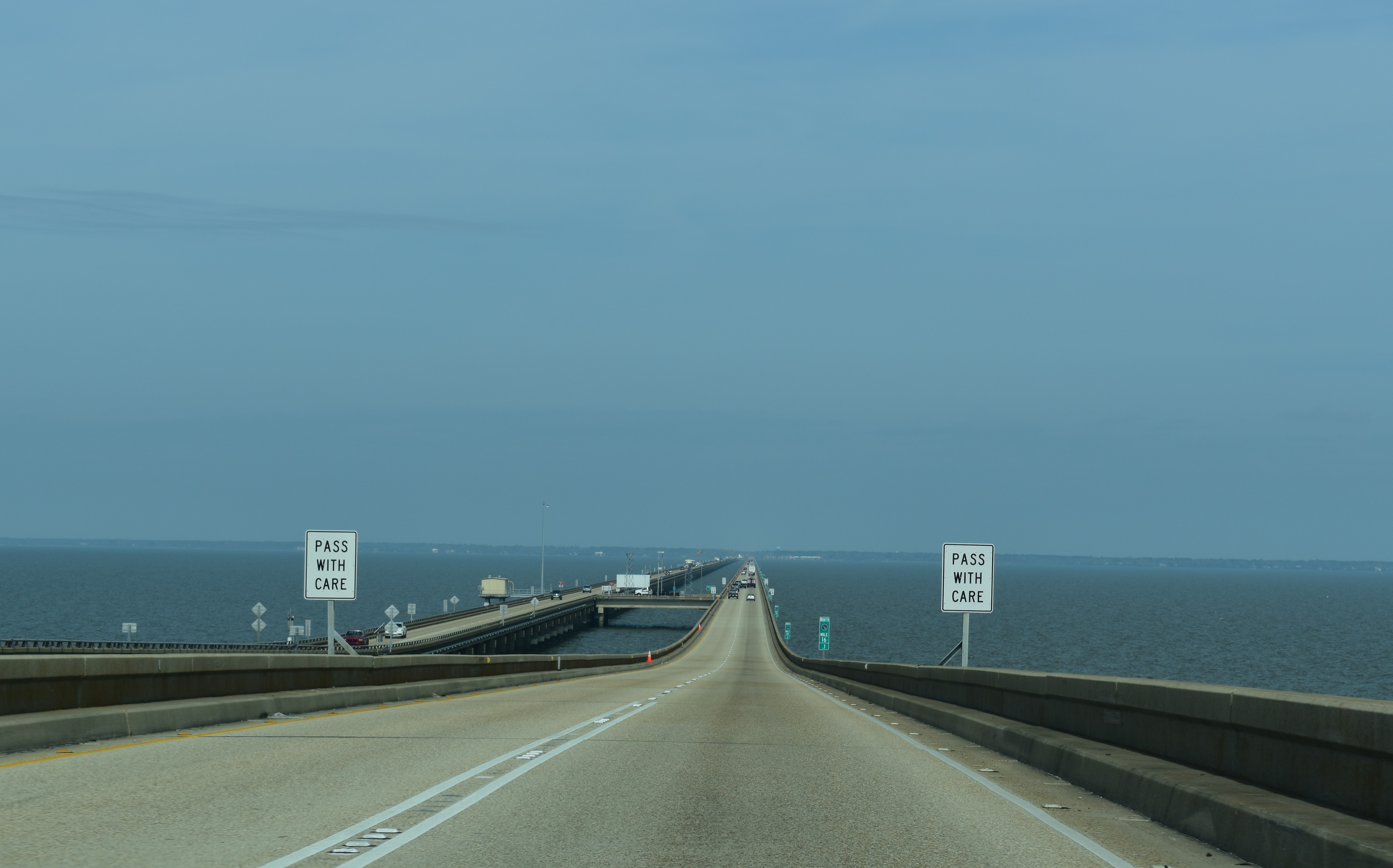
Bernard Marigny laid out the street grid in 1834. Walk it today and you're walking his map—Victorian and Craftsman cottages under live oak canopy, ending at the Lake Pontchartrain seawall where a paved path runs along the water. The lake is an estuary, not a lake, though the name stuck after French explorer Pierre Le Moyne d'Iberville claimed it in 1699 for Louis Phélypeaux, comte de Pontchartrain, France's Minister of the Marine. It covers 630 square miles, roughly oval, 40 miles west to east and 24 miles south to north, with an average depth of 12 to 14 feet. Fresh water pours in from the Tangipahoa, Tchefuncte, Tickfaw, Amite, and Bogue Falaya rivers. Salinity varies—negligible at the northern cusp west of Mandeville, nearly half seawater at the eastern bulge near Interstate 10. Old Mandeville started as a health resort for yellow fever refugees. The cottages and the seawall remain. Sunsets face south across the water toward New Orleans. The district is walkable to galleries, restaurants, and the Tammany Trace trailhead. You come for the path along the estuary and the fact that the 1834 grid still works.
- ·Street grid laid out by Bernard Marigny in 1834 — still the map today.
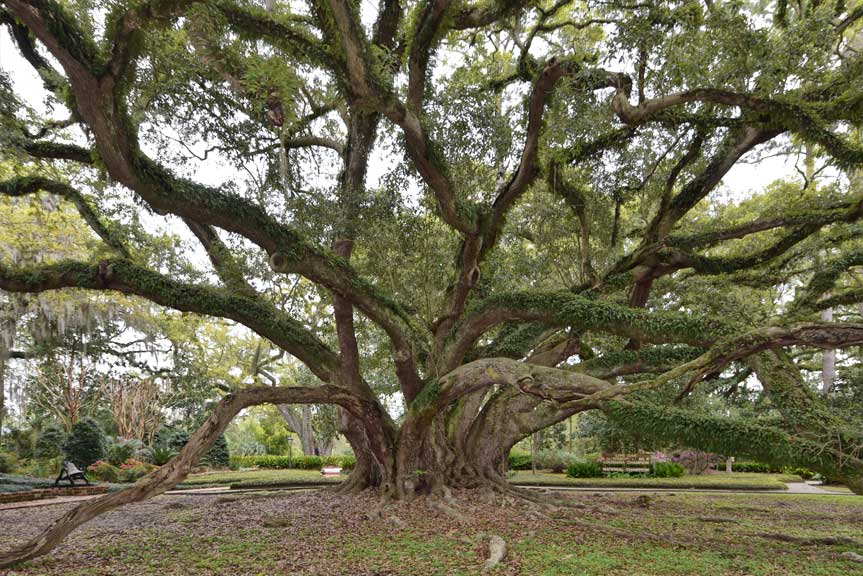
- ·Victorian and Craftsman cottages under live oak canopy.
- ·Paved lakefront path along the Lake Pontchartrain seawall.
- ·Sunsets face south across the lake toward New Orleans.
- ·Originally a health resort for yellow fever refugees.
- ·Walkable to galleries, restaurants, and the Tammany Trace trailhead.
Memories
Nearby
Editorial content compiled with AI assistance. Place details verified against public records.