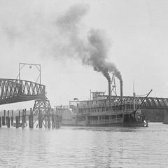
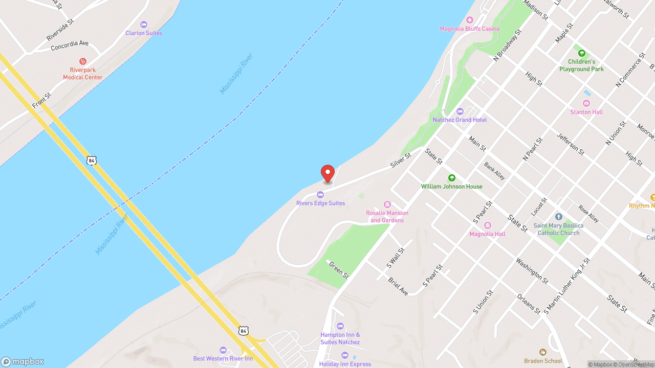
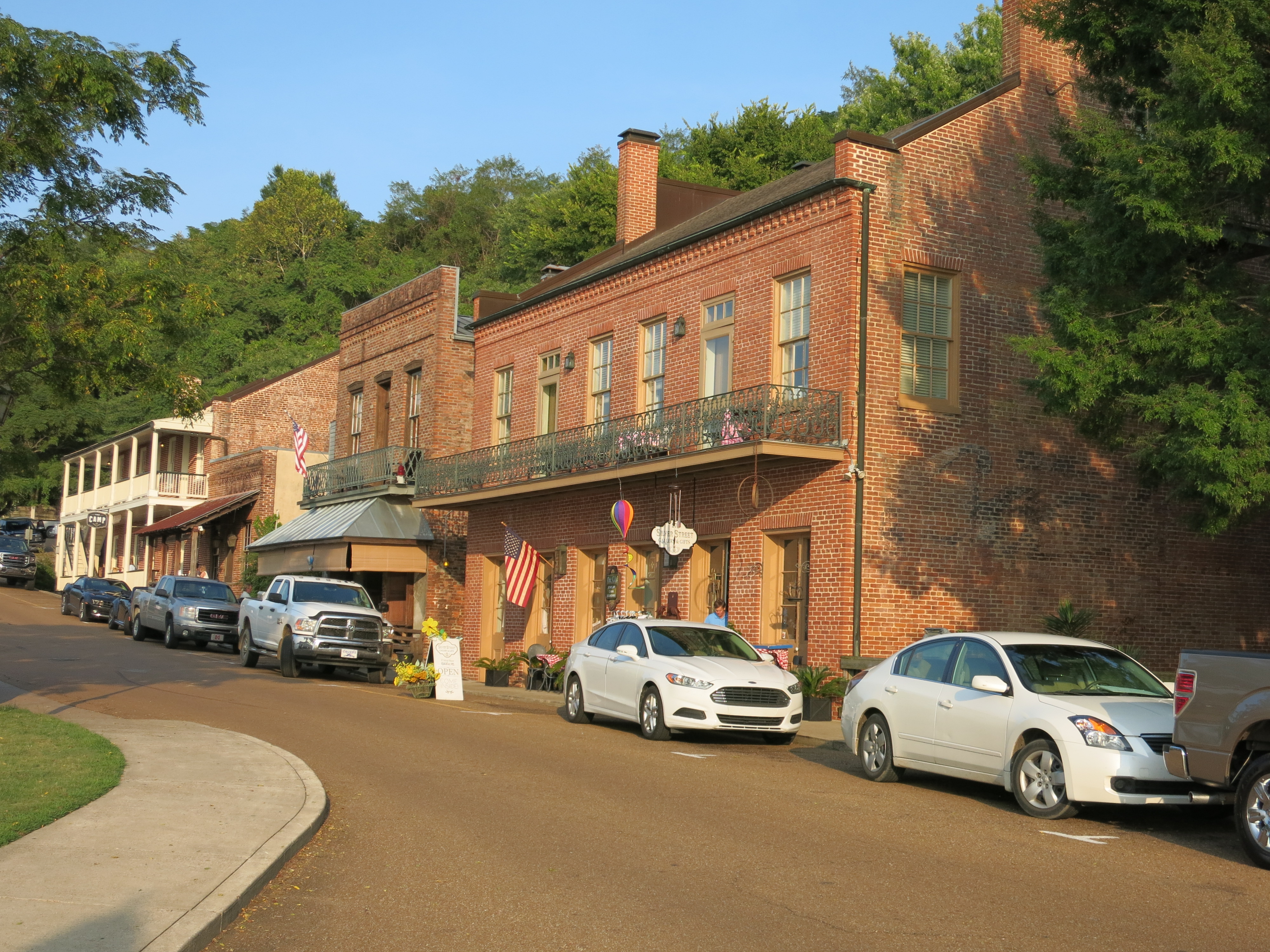
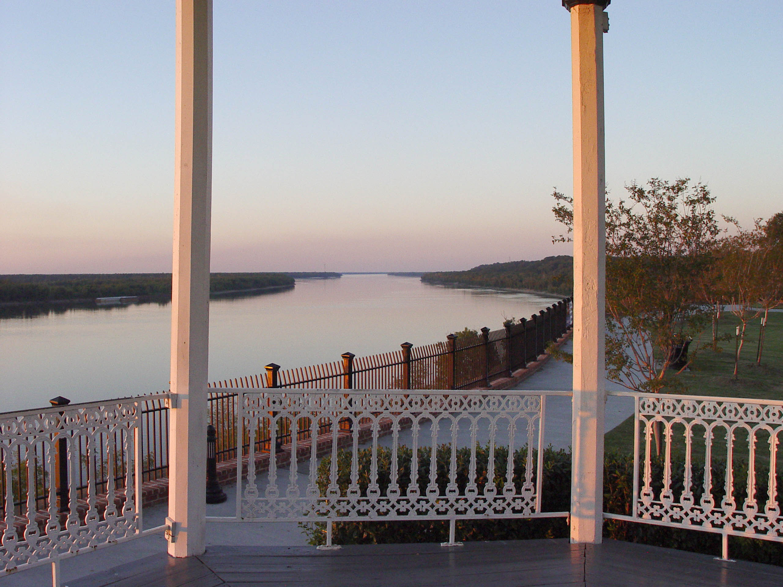
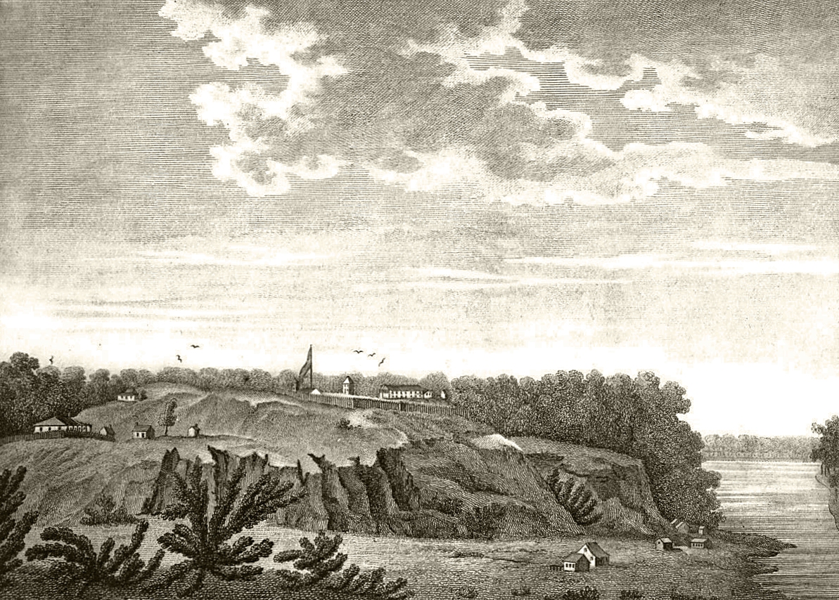
The river explains the city, and the bridge makes you see it. Built in 1940, this crossing carries US-84 between Natchez, Mississippi and Vidalia, Louisiana — one of the last major spans constructed on the lower Mississippi. The approach from the Louisiana side is the reveal: Natchez rises on its bluff while the floodplain stretches flat behind you, the geography suddenly legible in a way no map delivers. Natchez has been here since 1716, when French colonists built Fort Rosalie on the bluff. The elevation is roughly 46 feet above the river, high enough to command trade and survive floods. The city served as capital of Mississippi Territory and then of the state before Jackson replaced it in 1822. For two centuries it was a center of commerce on the river — cotton, enslaved people, steamboat trade moving through a port that sits where the Natchez people built their ceremonial mounds centuries before Europeans arrived. The river has been boundary, highway, and political fact since the land changed hands from French to British to Spanish to American, all before 1800. The bridge takes five minutes to cross. The best views come at sunset, when the light catches the bluff and the antebellum houses that survived the Civil War because the city surrendered without a fight in 1862. The crossing is free. You go to see why the city sits where it does, and to watch the river do what it has always done: move everything past everything else.
- ·US-84 crossing connecting Natchez, MS to Vidalia, LA.
- ·One of the last major Mississippi River crossings built on the lower river — 1940.
- ·Dramatic views: the bluff rises on the Mississippi side, Louisiana floodplain stretches flat on the other.
- ·The approach from Louisiana gives the iconic first view of Natchez rising above the river.
- ·Free crossing. Allow 5 minutes.
- ·Best views at sunset when the bluff and mansions catch the last light.
Memories
Nearby
Editorial content compiled with AI assistance. Place details verified against public records.