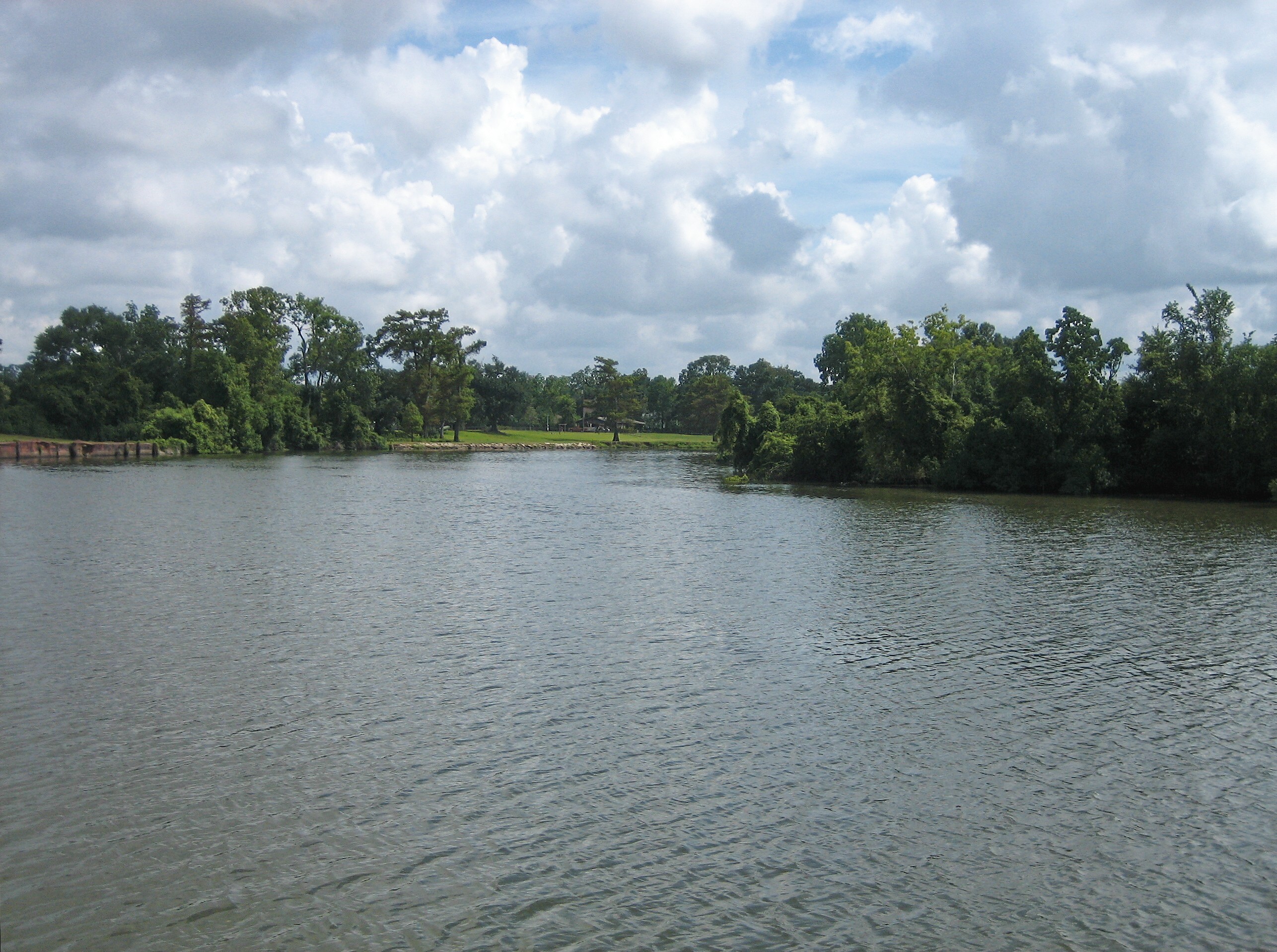
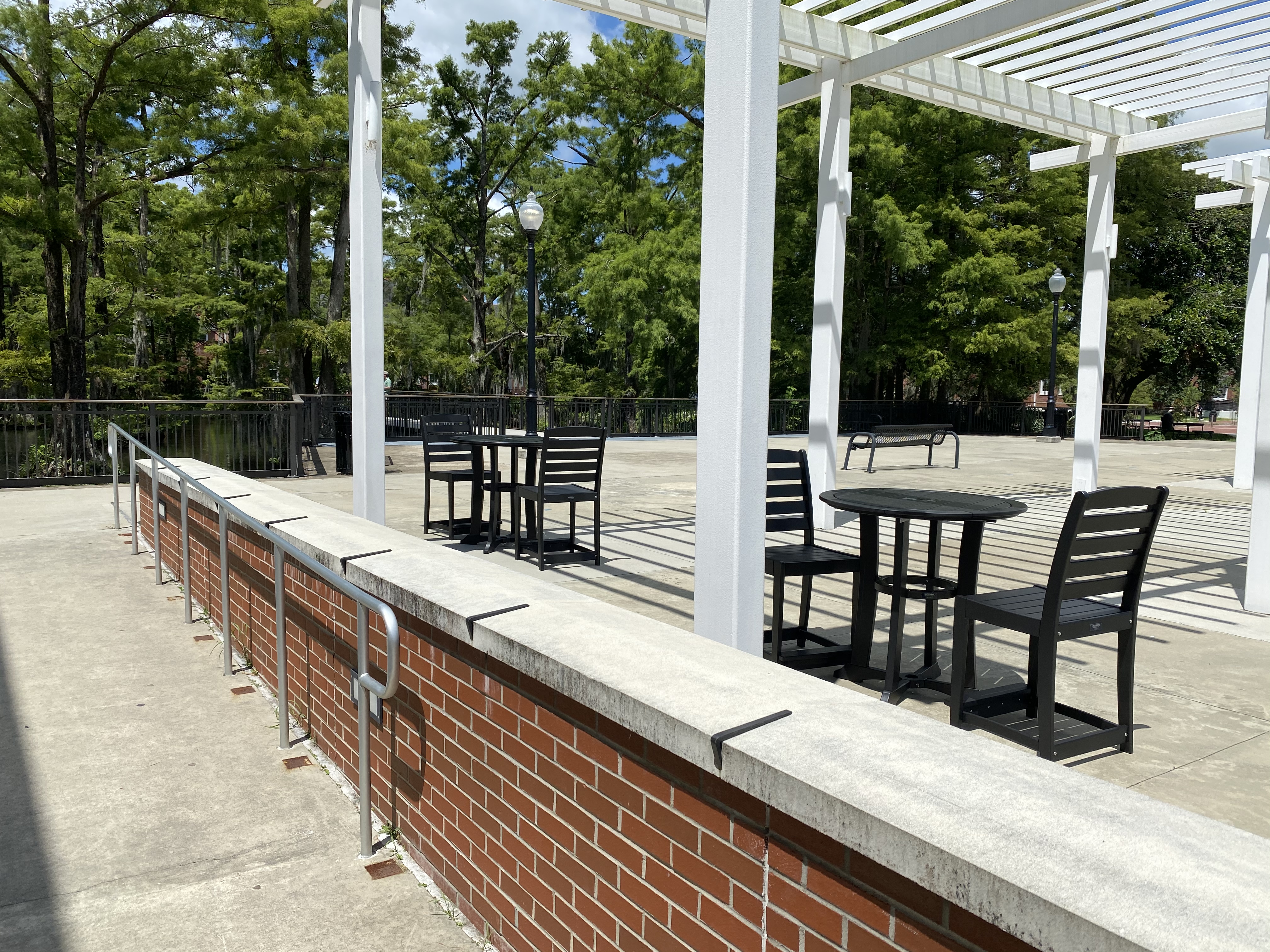
The bay dug this river, not the rain. Over thousands of years, Vermilion Bay's tides eroded north through coastal marshes, carving a consequent stream that flows backward from what gravity would dictate. Lafayette exists because this was the one place on the Vermilion you could reliably navigate — the city was founded at that single dependable crossing point. The river still reverses. During heavy rainfall, parts of the Vermilion flow north instead of south. In the 2016 floods, the river ran backward at negative 11,300 cubic feet per second. By the 1970s, the Vermilion had earned a reputation as the most polluted river in the United States. Forty years of restoration work followed. Alligators returned. Herons came back. The paddle trail now runs fifty miles to the Gulf, with kayak and canoe launches at Vermilionville and multiple city parks. You're paddling a river that was carved in reverse, that still flows backward when the rain comes hard enough, that died and came back. Put a boat in at Vermilionville and follow the bay's old work south.
- ·The Vermilion is a consequent stream — a tidal river formed not by rainfall flowing south but by Vermilion Bay's tidal erosion moving north through coastal marshes over thousands of years.
- ·During heavy rainfall, parts of the river reverse direction and flow north — in the 2016 floods, maximum negative discharge hit -11,300 cubic feet per second.
- ·In the 1970s it gained a reputation as the most polluted river in the United States.
- ·Forty years of restoration work later, alligators and herons are back and the paddle trail runs 50 miles to the Gulf.
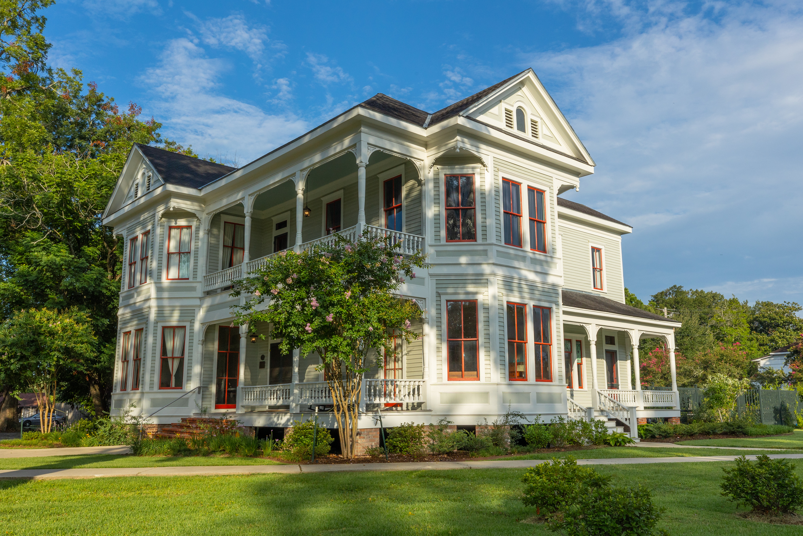
- ·Lafayette was founded at the one reliable navigation point on the river.
- ·Kayak and canoe launches are accessible from Vermilionville and multiple city parks.
Memories
Nearby
Editorial content compiled with AI assistance. Place details verified against public records.